Sunday, June 7, 2026. Clear and 75° going up to 90°.
Up at 6:00. Packed up and attempted to wrap my blisters and sore pinky toes. Will see how well that works.
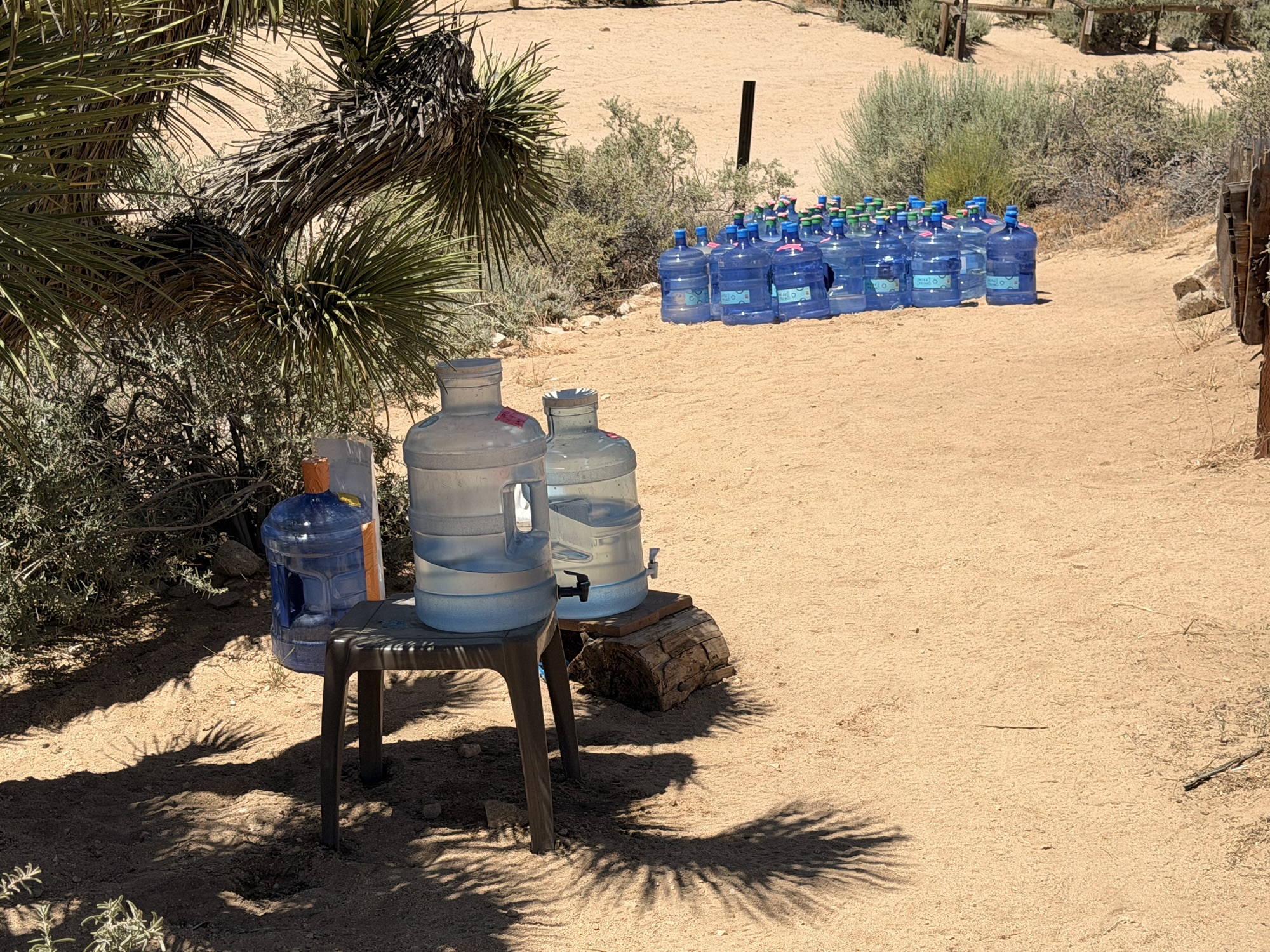
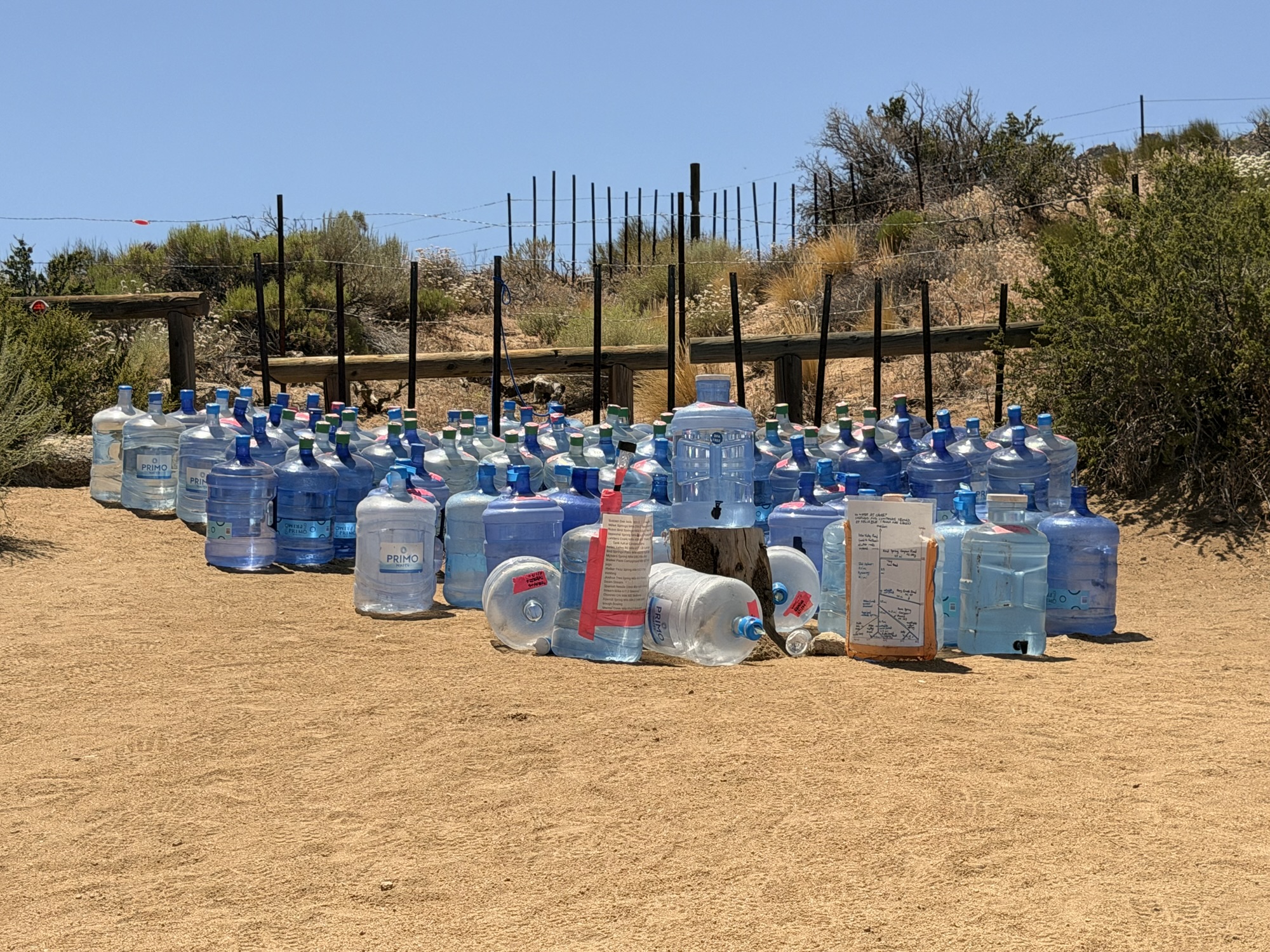
Trail angel Larry dropped us off at the trail at 7:45. Big climbs this morning with heavy packs. Three days of food and 3 liters of water. We don’t have water today until mile 13.

Took a break at 1.9 miles in. Big steep climb this morning. Still have almost 6 more miles of ascent to go this morning. I feel good, but Brad is struggling today. He woke up not feeling well. At least it’s breezy and 15 degrees cooler up here than back in town.

Took a snack break at 10:25 and 5 miles. Still 2.5 more miles of ascent to go. Reached the top of our climb and started the 4.5 miles descent to water. Very rocky trail. I can feel every rock through my soles. Need new shoes!

Stopped for lunch in a small path of shade with boulders for seats at 12:20 and 8.3 miles.
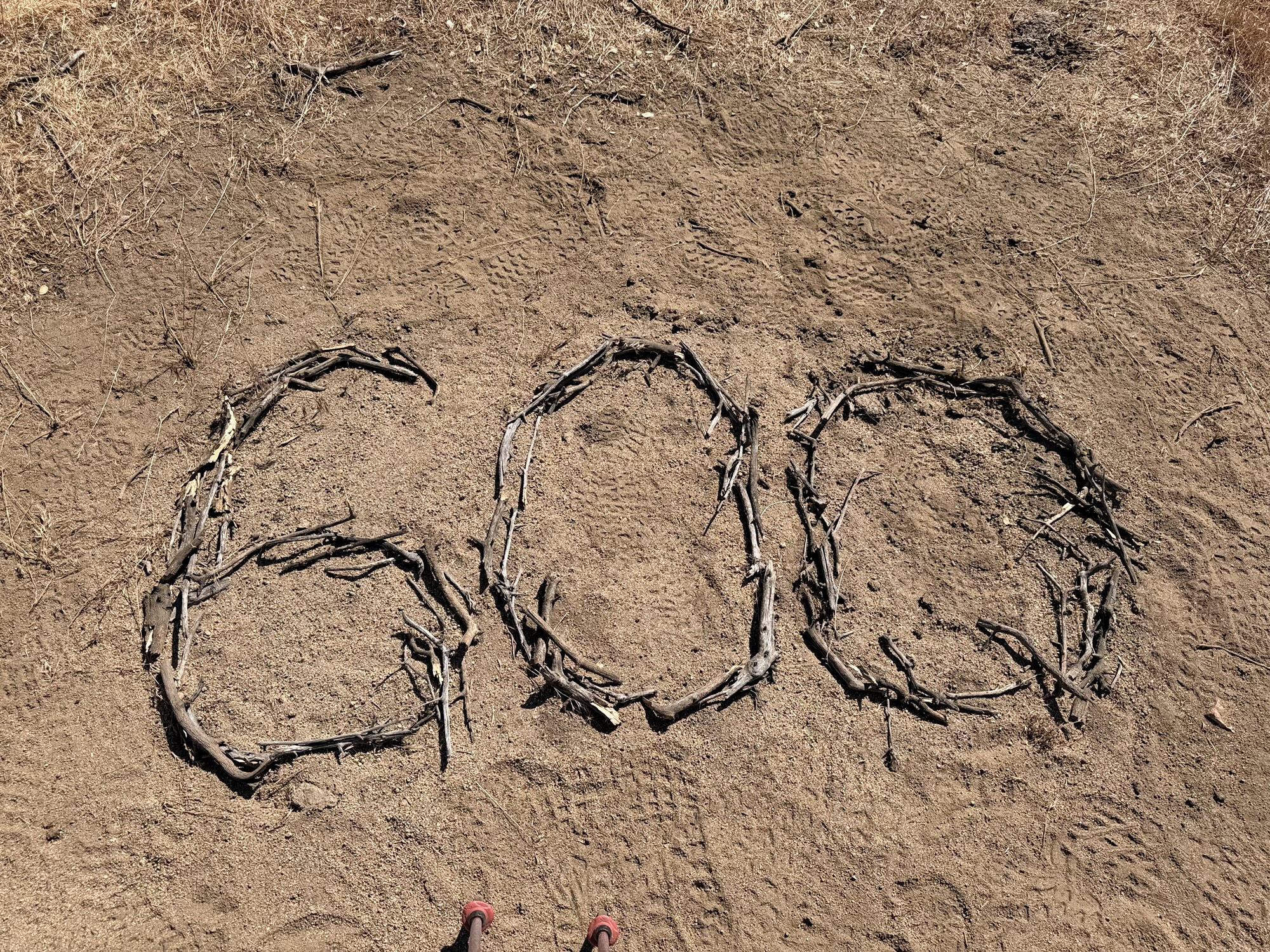
We reached the 1/4 way mark at 1:50 and 674 miles!

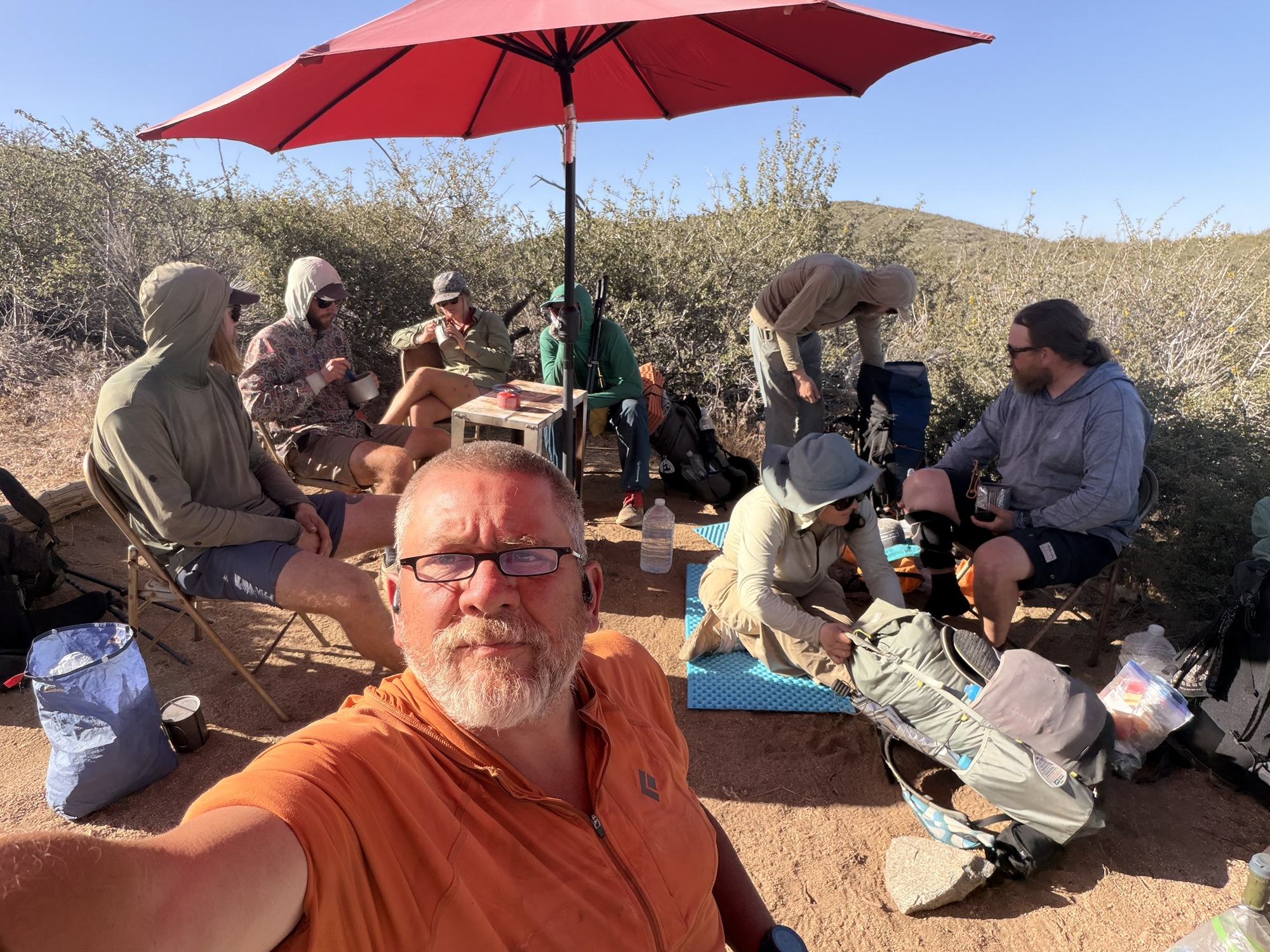
Stopped for a water and an hour break at 5:00 and 17 miles. We are going to go as far uphill from here as we can by 8:00 or until my feet give out, whichever comes first. Otherwise, we have a very nasty day tomorrow, so every additional mile today is a big help.
That last 2 miles was a nasty climb. Particularly carrying 5 liters of water. Fortunately, that 1-hour break really helped my feet. I made it to the tent site at 8:00. All the good spots were taken. I had to camp further up the summit on a very small, very oddly shaped spot. Sandy soil too. My tent pitch is so bad I had to laugh at it. Plus, I’m inclined on all axes. Should be an interesting night.
Made dinner at 8:45 in my tent. Getting windy and chilly. And there is a critter nearby in the tall weeds making noise. Probably something small.

Technical Notes:
- Breakfast sausage: 200
- Eggs: 100
- OJ: 200
- Mango (3-4p, 49g): 140 kcal, 35g carb, 0g fat, 0g protein
- Hostess Cupcakes: 340
- Tortilla: 140 kcal, 24g carb, 3g fat, 4g protein
- Tuna: 90 kcal, 4-7g carb, 1g fat, 14-16g protein
- Fritos: 160
- Mango (3-4p, 49g): 140 kcal, 35g carb, 0g fat, 0g protein
- Hostess mini donuts: 440
- Curry noodles: 470
- Dehydrated chicken: 170
- Skittles (2.17oz): 250 kcal, 56g carb, 2.5g fat, 0g protein
- Fritos: 320
- Water liters: 6
- Miles: 21.4
- Time: 12:32
- Up: 5325
- Down: 3793
- Calories consumed: 3250
- Calories burned: 4453
- iPhone battery used: 53%