Category: AT Thru-Hike 2024

  • Day 128 – Dalton, MA to Williamstown, MA

    Day 128 – Dalton, MA to Williamstown, MA

    Today’s Miles: 13.3

    Trip Miles: 1607.7

    “Oh, keep your eyes on the road, your hands upon the wheel

    Keep your eyes on the road, your hands upon the wheel

    Yeah, we’re going to the Roadhouse

    Gonna have a real

    A good time” – The Doors

    Up at 6:30. Ate breakfast and met my shuttle at 7:00. Drove to the trail and got hiking at 7:30.

    Humid, mid-70s, rain and thunderstorms on and off all day. Very humid!

    Confirmed my room and shuttle at Wicked Waystation for Thursday night. Looking forward to that. 

    I have Mount Greylock today. Highest point in MA at 3489 feet. Don’t expect much in the way of views with this weather. And it being a Monday, the lodge and restaurant at the top of the mountain are closed today. Go figure.

    I have 3 potential camp spots tonight. First is a shelter. Second is a tent spot in a nice lady’s yard about 2.5 miles further. And third is a motel which requires a 3-mile road walk or hitch. The weather will likely be the deciding factor. 

    Cool walk up Greylock. The scenery and  vegetation changed dramatically from the base to the top.

    Ascent up Mount Greylock

    YouTube video of walk up Mount Greylock 

    Just got a mini pecan pie and mini coke from a nice lady supporting a trail runner about half a mile from the summit of Mount Greylock. It’s these little things that really make a hiker’s day. Especially on a rainy, dreary day like today.

    Eerie how that antenna mast just disappears into the clouds.

    Antenna hidden in the clouds on Greylock

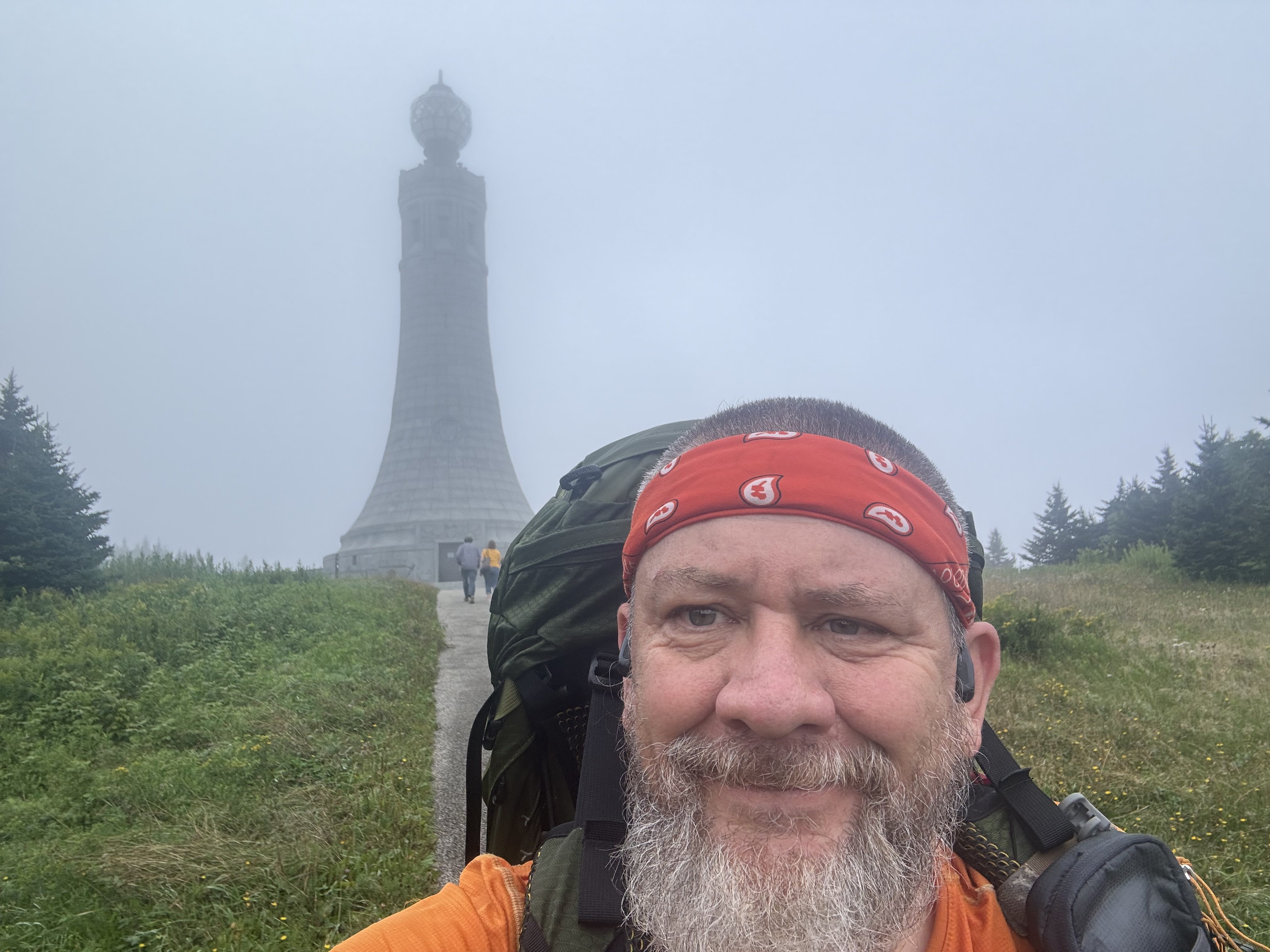
    Made the summit at 11:15. Very foggy and no views today, but still pretty cool.  Not a bad climb overall. The last .5 miles was the steepest with large, flat, slippery rocks. This heavy fog and earlier drizzle have everything wet and slippery.

    The tower is the Mount Greylock Veterans War Memorial Tower. If there was a view, I would climb the spiral staircase to the top of the tower, but I keep losing sight of the tower in the fog, and I’m only sitting about 25 yards from it!

    Mount Greylock Veterans War Memorial Tower

    And as I was getting ready to leave, it sort of cleared up. I did climb the spiral stairs to the top and got a little view.

    Looking down the spiral stairs in Mount Greylock tower

    YouTube video from Mount Greylock tower observation deck.

    Stopped at a road crossing with a nice sitting rock for a snack at 2:00. The sun is trying hard to come out, but there is rain in the forecast around 5:00. I should be under cover by then.

    Heard from Legend. He’s half a day behind me along with this crew. I thought they were a couple of days ahead of me, not behind me. They will catch me in 1-2 days at their pace.

    Legend and the Rascals

    View from the top of Mount Prospect.  That’s the border with NY in the middle distance looking west.

    View from the top of Mount Prospect

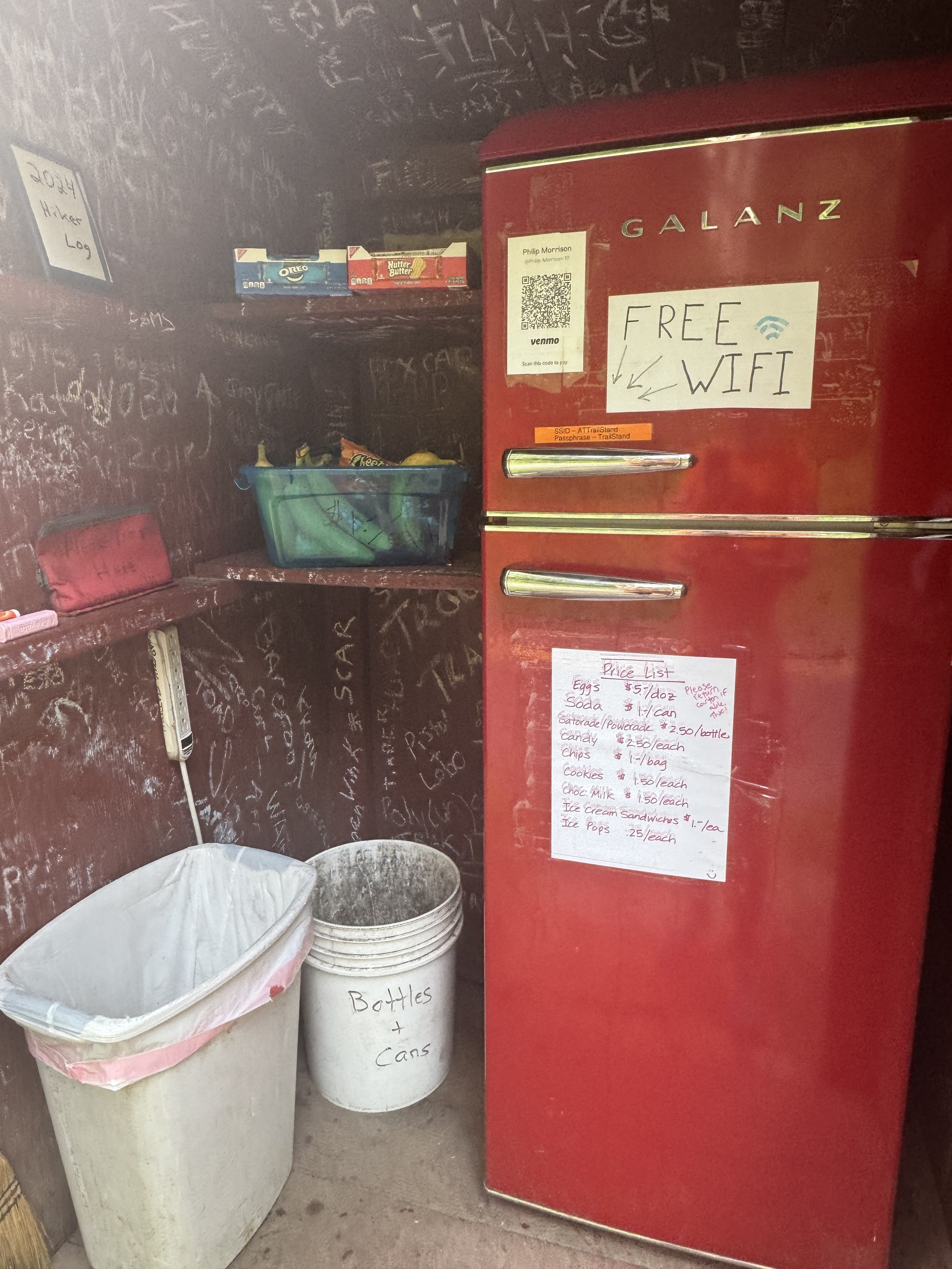
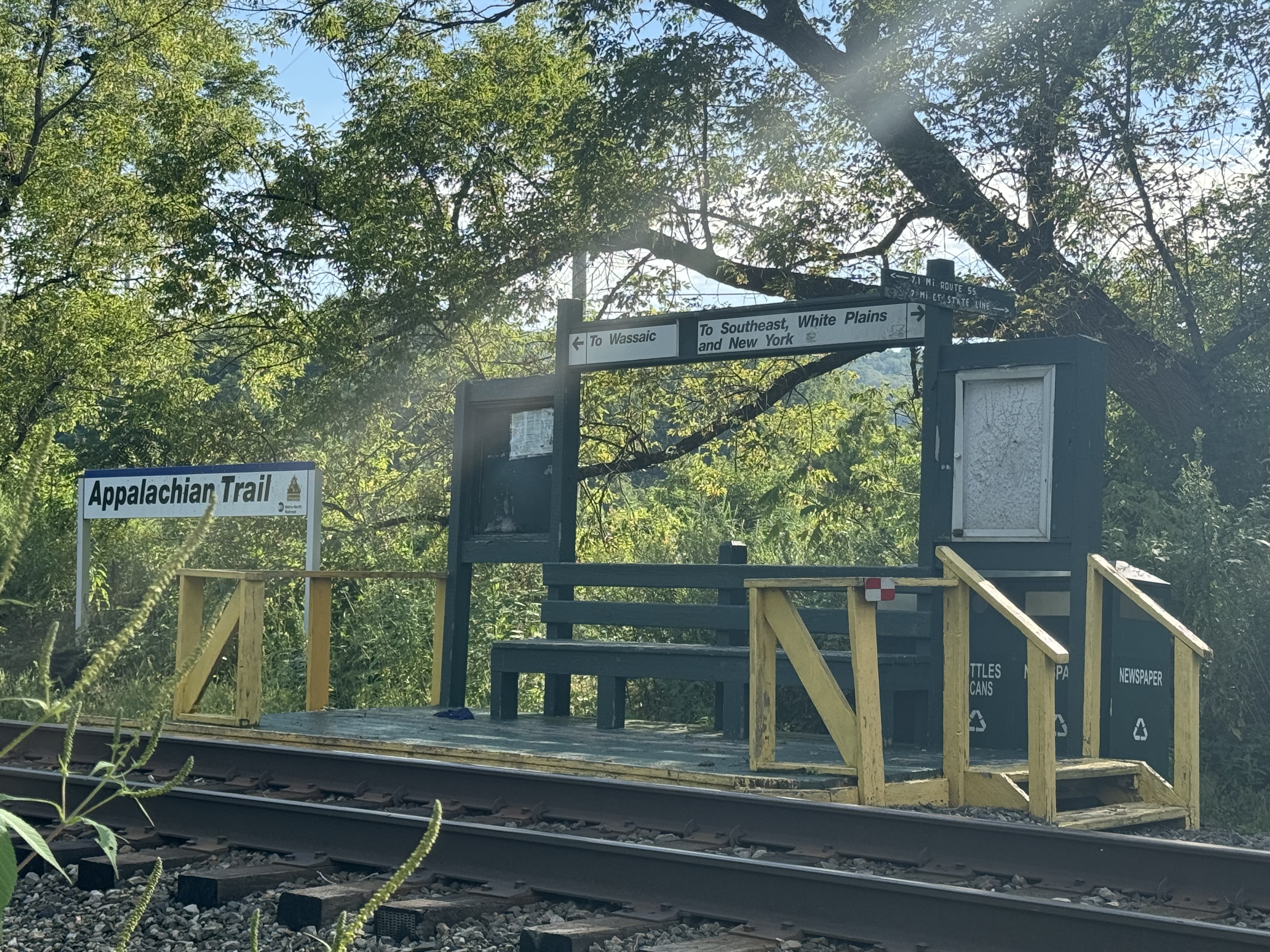
    Got to town at 4:00. The trail runs down one of the streets in town. Walked to the AT welcome kiosk with self-service trail magic in coolers next to the local elementary school. 

    Called The Willows Motel for a pickup. Very cool that they offer rides to/from the trail. I got picked up just as the thunderstorm hit. I watched it roll in over the backside of Mount Greylock. The mountain just slowly disappeared into the rain and clouds. This is a cute little family-run motel. It’s got that 1950s vibe and is very well maintained. Very friendly Indian family runs the place. 

    The Willows Motel in Williamstown

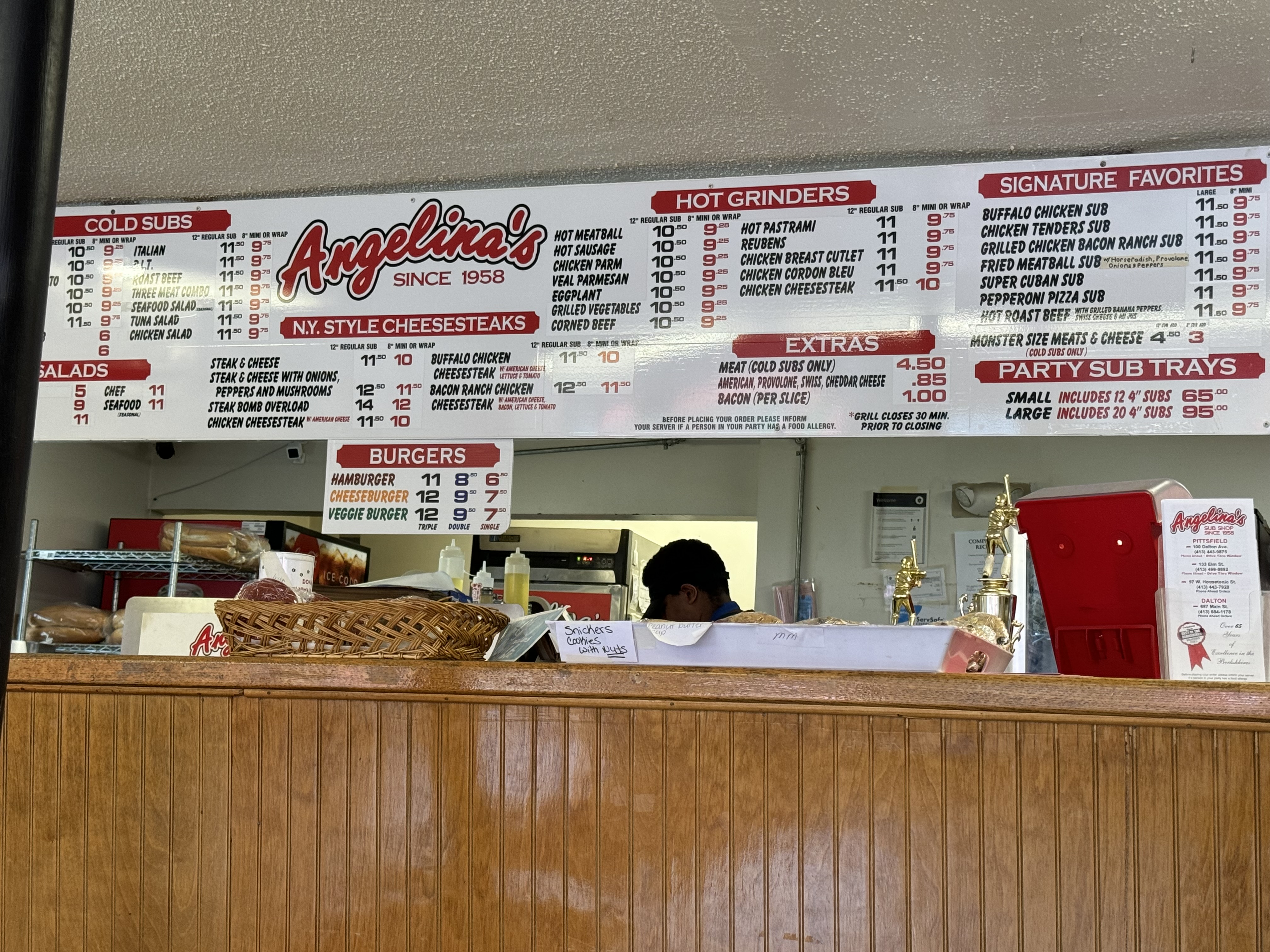
    Walked next door to an Italian place for pizza. Almost ordered real food, but I had been thinking about pizza since I got to town.  Very good pizza!

    Back to the motel around 7:15 and chatted with Dana. Probably be asleep by 9:00.

    Day 128 Map – Dalton, MA to Williamstown, MA

    Technical Notes:

    • Body armor Lyte 25
    • Blueberry Muffin 310
    • Pecan pie 390
    • Coke 100
    • Mini donuts 280
    • Mini donuts: 280
    • Soda: 160
    • Pringles: 900
    • Stella cider: 180
    • Meat lovers pizza: 4 slices @ 350 per 1400
    • Stella cider: 180
    • Misc: 400
    • Water: 1.7
    • Miles: 13.3
    • Time: 8:30 – 1 for sightseeing 
    • Elevation gain: 3081
    • Calories consumed: 4600
    • Calories burned: 6000
  • Day 127 – Zero in Pittsfield, MA

    Day 127 – Zero in Pittsfield, MA

    Today’s Miles: 10.2

    Trip Miles: 1594.4

    “Take this job and shove it

    I ain’t working here no more

    My woman done left and took all the reason

    I was working for

    You better not try to stand in my way

    As I’m a-walkin’ out the door

    Take this job and shove it

    I ain’t working here no more” – Johnny Paycheck 

    Woke up to heavy rain and no motivation. Studied the weather forecast and the trail for the next two days and decided to take today off. 

    Walked across the street to a diner for breakfast and ran into 4 young hikers I have been seeing on and off for a week.

    Spent the day REALLY replanning the rest of my hike. I am lowering my mileage to about 14-15 max per day and revisiting hostels and other plans in the Whites and in Maine. Trying to be more realistic and cognizant of earlier sunset and my general lack of motivation lately. 

    I am fairly happy with the results. I should finish on Oct 7 in a perfect world. But with weather issues in the White Mountains, I foresee the schedule moving out to October 13 weekend. 

    Arranged shuttle for 7:30 a.m. tomorrow and booked a bunk bed for Thursday night at Wicked Wayside. 

    Walked to Walgreens and picked up a few supplies for the next 4 days. Had the second half of my sub from yesterday for dinner. 

    I’m reasonably happy with my new route plan. I think/hope the shorter days will keep me more energized and focused. Should know how well that is working by next weekend. 

    All packed up and ready to go in the morning. Still carrying too much food 🙁

    Technical Notes:

    • Apple juice 200
    • Apple juice 200
    • Ham steak 500
    • Eggs x 2 160
    • Buttered toast 200
    • Home fries 100
    • Cold cut sub 1500
    • Burrito 499
    • Seltzer 100
    • Chicken sandwich 430
    • Misc 400
    • Water 
    • Miles 
    • Time 
    • Elevation gain 
    • Calories consumed 4200
    • Calories burned 2000
  • Day 126 – October Mountain Shelter to Dalton, MA

    Day 126 – October Mountain Shelter to Dalton, MA

    Today’s Miles: 12

    Trip Miles: 1584.2

    “Head games, it’s you and me, baby

    Head games, and I can’t take it anymore

    Head games

    I don’t want to play the head games” – Foreigner 

    Up at 7:35, on trail at 8:45. Got up late.

    Overcast, 70s, humid, chance of rain all day.

    Stopped at The Cookie Lady at 9:45. Awesome place. Got a big homemade berry juice , cookies, and good water! Did not need to charge anything. Played with the dogs. 

    The Cookie Lady
    The Cookie Lady

    Back on trail at 10:15. I have 9.6 miles to Dalton, MA.

    Got a room in Pittsfield, MA, and a  shuttle from Dalton. Got to Dalton at 3:30. Stopped at an awesome sub place to get dinner to go, then shuttled to the motel. 

    Sub shop in Dalton, MA.

    Worked on blogs, called Dana, worked on planning for the next few weeks.

    Head is still not in the right place. Part of it is the weather. Sunday looks rainy but doable. Monday looks terrible. I have Mount Greylock either tomorrow or Monday. Lovely. No good choices.

    Day 126 Map – October Mountain Shelter to Dalton, MA

    Technical Notes:

    • Pop Tarts 370
    • Cookies 200
    • Berry Juice 250
    • Zero-sugar sausage 120
    • Trail mix 400
    • Skittles 100
    • Fig bar 200
    • Dr Pepper 240
    • Cold cut sub 1500
    • Seltzer 400
    • Fritos 600
    • Reese’s 600
    • Other 1500
    • Water 3.4
    • Miles 12
    • Time 7
    • Elevation gain 2247
    • Calories consumed 6500
    • Calories burned 5500
  • Day 125 – Shaker Campsite to October Mountain Shelter 

    Day 125 – Shaker Campsite to October Mountain Shelter 

    Today’s Miles: 17.9

    Trip Miles: 1572.2

    “If you believe in magic, come along with me

    We’ll dance until morning ’til there’s just you and me

    And maybe, if the music is right

    I’ll meet you tomorrow, sort of late at night

    And we’ll go dancing, baby, then you’ll see

    How the magic’s in the music and the music’s in me” – The Lovin Spoonful 

    Up at 6:10. On trail at 7:30.

    Mostly sunny and 56 going up to 80. Very humid.

    I feel like I’m being watched .

    Morning house guest

    Fog down in the valley.

    Fog down in the valley

    Stopped at the famous AT Stand at 8:30. Roadside self-service snack stand. Got soda, ice cream, and Doritos. Used their Wi-Fi and emptied trash

    Famous AT Stand in MA
    Famous AT Stand in MA

    More wetlands today.

    Wetlands in MA

    Stopped for a break at a road crossing at noon and 7.5 miles for today. Planning to get water in 1.6 miles. 

    Seeing lots of SOBOs today.

    Got to October Mountain Shelter at 6:50. Father and daughter are here as well as a dad and young son. Plus a pair of young kids on their own.

    October Mountain Shelter

    So-so water at camp. One of these things is not like the other!

    so-so water

    In bed at 8:15. Read for a while. Damn bugs!

    Rough day. Long, humid, and lots of bugs!! Almost cut the day short but there were no camp options. Worst bug day of the entire trip.

    Day 125 Map – Shaker Campsite to October Mountain Shelter

    Technical Notes:

    • Pop Tarts 370
    • Ice cream sandwich 150
    • Doritos 150
    • Dr Pepper 150 
    • Dr Pepper 150 
    • Trail mix 350
    • 1320
    • Zero-sugar sausage 120
    • Cheese crackers 250
    • Trail mix 200
    • Fig bar 200
    • Skittles 100
    • Ramen 370
    • Dehydrated chicken 170
    • Fritos 600
    • Water 3.4
    • Miles 18.9
    • Time 11:30
    • Elevation gain  3964
    • Calories consumed 3500
    • Calories burned 7000
  • Day 124 – Great Barrington, MA to Shaker Campsite 

    Day 124 – Great Barrington, MA to Shaker Campsite 

    Today’s Miles: 17.6

    Trip Miles: 1554.3

    “I want to tell you about the town of

    Stockbridge, Massachusetts, where this happened. They got three stop signs, two police officers, and one police car, but when we got to the

    scene of the crime, there were five police officers and three police cars,

    being the biggest crime of the last fifty years, everybody wanted to

    get in the newspaper story about it. And they were using up all kinds of

    cop equipment that they had hanging around the police officer’s station.” – Alice’s Restaurant 

    Up at 7:00. Ate and packed up and attached my new phone pouch to my chest strap. Headed out at 7:50. Stopped at Dunkin on the way out of town.

    Upper 70s, partly sunny, not bad humidity, chance of afternoon thunderstorms.

    Hitched a ride the last 2 miles with a local handyman. Rode on the back of his flatbed. Perfect morning. On trail at 8:30. 

    Ran across these free walking sticks. Very cool.

    Free walking sticks

    Hiked near Stockbridge, MA today.

    Good hard climb this morning. Good to get my legs used to this again as the Whites are looming. Also carrying too much food, but I’ll eat through that over the next 3 days.

    Took a break at mile 3. Great sitting rock in the shade and decent cell service. Got a tough 1.4-mile climb right after this.

    Stopped at MA Route 23 parking lot for a water cache and trail magic at 1:30 and 8.4 miles so far today. Cokes, peanut butter cups, Gatorade, oranges, apples. Thanks much!! 

    MA Route 23 parking lot water cache and trail magic

    Still have 9.2 miles to go. Hoping for 6:00 but probably gonna be more like 6:30.

    Yet another big pond or small lake. Lots of these the past few days.

    Lots of ponds and lakes in MA

    Quick break at 3:45. Tough climbs this day!

    Swapped water bottles and had a snack at 5:15. Got 3.5 miles to camp.

    Got 3 liters of water for tonight .3 miles before camp. Very cold water!

    Not your average water spot

    Set up camp at Shaker Campsite at 7:15. Privy, bear box, tent pads.  Nice!

    Shaker Campsite

    Long hard day. One of the biggest vertical days in a while. Felt good physically and mentally. Now let’s see if I can string two days like this together.

    Day 124 Map – Great Barrington, MA to Shaker Campsite

    Technical Notes:

    • Pop tarts 370
    • Dunkin Boston cream 270
    • Large latte 230
    • Coke 140
    • Peanut butter cups 140
    • Zero sugar sausage 120
    • Skittles 100
    • Oreos 160
    • Oreos 160
    • Ramen 370
    • Dehydrated chicken 170
    • Fritos 400
    • Water liters 3
    • Miles 17.6 + 1.2
    • Time 9:30
    • Elevation gain 3731
    • Calories consumed 3000
    • Calories burned 7000
  • Day 123A – Great Barrington, MA

    Day 123A – Great Barrington, MA

    Placeholder for a 21 mile section I yellow blazed between Salisbury, CT and Great Barrington, MA.

    1507.1 to 1528. 

    I plan to come back here the last week in October with Dana and hike this missed stretch of trail. It’ll be under 10 hours with a day pack. 

  • Day 123 – Great Falls, CT to Great Barrington, MA

    Day 123 – Great Falls, CT to Great Barrington, MA

    Today’s Miles: 8

    Trip Miles: 1515.7

    “We were holding hands as we reached the California coast.

    A new wind in our sails, we’re making the most.

    So the story goes, all’s well that ends well.

    And if you don’t mind, I’ll keep the rest to myself.

    I was thumbing my way outta San Antonio.” – Tracy Byrd

    Up at 6:30. Dense fog, so I went back to sleep until 8:00. Packed up and hit the road at 9:00. 

    Very hazy and humid today. View from Mount Prospect.

    View from Mount Prospect
    View from Mount Prospect

    Stopped at Giants Thumb. Great big thumb-shaped rock. 

    Giants Thumb.

    After a lot of debate, I decided to only hike to Salisbury, CT at mile 8 for today. I have to be at the post office in Great Barrington before they close. Once I head out of Salisbury, there is no road near the trail until mile 19.6, which won’t let me make the post office. I had thought about going another 7 miles on the AT and then hiking what looks like an abandoned woods road out to Route 41 for a shuttle pickup. However, that would put me real close to missing the post office, and there is no info on what shape that “woods road” is actually in or if it still exists.:(

    I’m skipping ahead 20 miles to Great Barrington, MA. The town is 3 miles north of the AT. I’ll hitch back to the trail tomorrow or something similar. I need to make up time/mileage, and this looks like a reasonable opportunity for that. I plan to come back here the last week in October with Dana and day hike this missed stretch of trail. It’ll be under 10 hours with a day pack. 

    Stopped at the White Hart Inn, Salisbury, CT. Very nice little place. I plan to stay here with Dana in late October when I make up a missed section on the AT.

    Got picked up by a shuttle at 2:00 and drove to the Great Barrington, MA post office, then to the Quality Inn. Got new shoes and a new phone pouch as well as my rain jacket and hiking pants and extra socks back. Also, a few resupply items. I’m pretty good on supplies as is. 

    New shoes in Great Barrington, MA

    Showered and did laundry. Did major route planning for the next 11 days. Trying to get back into bigger but reasonable days. I’m trying to get my head back in the game! I need to really dig in if I’m going to finish this adventure before the snow closes the northern terminus. 

    I just have not been loving life on the trail since NJ. Go figure NJ and NY weren’t my favorites. Too many people, too many towns, too many distractions. That’s my guess anyway. I’m hoping getting back into the sticks and into New England will help. My new route plan tries to balance aggressive miles with a dose of reality. Plus new shoes will really help 🙂

    Day 123 Map – Great Falls, CT to Great Barrington, MA

    Technical Notes:

    • Pop Tarts 370
    • Oreos 320
    • Large Latte 230
    • Ham and Cheese 500
    • Large Latte 230
    • Coke 140
    • Reese’s 400
    • Dinner 2000
    • Water liters 1.7
    • Miles 8 
    • Time 3:30
    • Elevation gain 1300
    • Calories consumed 5000
    • Calories burned 3500
  • Day 122 – Cornwall Bridge, CT to Great Falls, CT

    Day 122 – Cornwall Bridge, CT to Great Falls, CT

    Today’s Miles: 15

    Trip Miles: 1507.7

    “Oh rapid Roy that stock car boy

    He too much to believe

    You know he always got an extra pack of cigarettes

    Rolled up in his t-shirt sleeve

    He got a tattoo on his arm that says baby

    He got another one that just says hey

    And Sunday afternoon he is a dirt track demon

    In a ’57 Chevrolet” – Jim Croce

    Up at 7:30. Took my time getting moving. Packed up, checked out, and walked down the road to the market for a muffin and coffee.

    80 degrees, sunny, low humidity. Awesome weather.

    Texted Jenny near Great Falls and booked a bed in her outbuilding for tonight. $20. I should be there about 6:00.

    Squeezed through Roger’s Ramp. It’s not as small as the lemon squeeze, but it’s tight. 

    Roger’s Ramp

    Hiked around Lime Rock Race track much of the afternoon. Even though it’s a weekday, there are multiple cars on the track. I could hear them for over 3 hours of hiking.

    Stopped for a snack at Belters Bump at 3:30 and 11.1 miles for the day. Nothing to see just a small clearing with some big sitting rocks.

    Stopped at the package store in Falls Village. The owner was very nice and knew all about Jenny’s where I’m staying tonight. We chatted for a while. 

    Caboose in Falls Village, CT

    Walked past Great Falls. Pretty impressive. Also passed the 1500-mile mark.

    Great Falls, CT
    Great Falls, CT
    1500 Mile Marker
    1500 Mile Marker

    YouTube video of Great Falls

    I got to Jenny’s at 6:00. Her husband gave me the tour. Her cottage is amazing. She has a very nice homemade outdoor shower as well. Check the video below. 

    Jenny’s Cabin
    Jenny’s Cabin

    YouTube video of Jenny’s cottage

    Made dinner and relaxed at the cottage. Worked on my plans for tomorrow. I’ll go between 15 and 19 miles depending on how I feel. I want the shuttle to get me into Great Barrington before the post office closes at 4:30. I’ll likely have to hike about an hour off-trail on an unused woods road to get to where the shuttle can pick me up. I have two of those planned out.

    Day 122 Map – Cornwall Bridge, CT to Great Falls, CT

    Technical Notes:

    • Mini donuts 410
    • Chocolate chip muffin 450
    • Large latte 230
    • Zero-sugar sausage 240
    • Skittles 150
    • Doritos 450
    • Ramen 370
    • Dehydrated chicken 170
    • Seltzer 400
    • Fireball 400
    • Water liters 2.7
    • Miles 15 + 1.5
    • Time 8:30
    • Elevation gain 2504
    • Calories consumed 3500
    • Calories burned 6500
  • Day 121 – Kent, CT to Cornwall Bridge, CT

    Day 121 – Kent, CT to Cornwall Bridge, CT

    Today’s Miles: 24

    Trip Miles: 1492.7

    “Sometimes I feel, sometimes I feel,

    Like I’ve been tied to the whippin’ post.

    Tied to the whippin’ post, tied to the whippin’ post.

    Good Lord, I feel like I’m dyin’.” – Allman Brothers 

    Up at 7:30. Lazy morning. Ate breakfast and started walking to the trail at 9:45. I arranged a shuttle for Wednesday late afternoon to take me from the trail into Great Barrington, MA and made motel reservations. Not sure exactly where I will be for pickup, but gave the driver a range. They were cool with that.

    Sunny, 75 degrees, low humidity. Nice day.

    Talked to a SOBO who also stayed at the same inn. She started June 2. The mountain did not open until June 1, hence all the early June people I have been passing.

    Stopped at an amazing little store in Kent for coffee and a chocolate croissant. 45 On Main. A bunch of other hikers that I have been around for the past two days are also here. They camped just outside town at Mount Algo shelter last night. 

    45 On Main in Kent, CT

    Very pleasant walk along the Housatonic River. Weather is amazing. Keep humming Country Roads, but then I remember I’m in Connecticut….just not quite the right mental place for that song.

    Country road walk in CT

    Stopped for a break and to research places to stay this evening at the Hiker Parking spot. Could not pass up the chairs. Back on trail at noon.

    Hiker Parking
    Lots of stream crossings

    Road walked into Cornwall Bridge and crossed the River.

    Road walk into Cornwall Bridge, CT
    Road walk into Cornwall Bridge, CT
    Road walk into Cornwall Bridge, CT

    Got to The Hitching Post motel in Cornwall Bridge, CT at 3:30. Just not feeling like camping out, and my feet hurt. Hence the early stop today. Can’t wait to get new shoes and insoles in two days in Great Barrington, MA. I’m also enjoying platinum blazing for a little while!

    The Hitching Post motel in Cornwall Bridge, CT
    The Hitching Post motel in Cornwall Bridge, CT
    Day 121 Map – Kent, CT to Cornwall Bridge, CT

    Technical Notes:

    • Mini donuts 410
    • Apple juice 160
    • Large Latte 230
    • Chocolate Croissant 250
    • Slim Jim 260
    • Diet Dr Pepper 0
    • San Smith porter 186
    • Cider 180
    • Peak refuel sweet pork 800
    • Fritos 220
    • Other 2000
    • Water liters 1.7
    • Miles 11.8
    • Time 5:30
    • Elevation gain 2504
    • Calories consumed 5000
    • Calories burned 4750
  • Day 120 – Telephone Pioneers Shelter to Bulls Bridge, CT

    Day 120 – Telephone Pioneers Shelter to Bulls Bridge, CT

    Today’s Miles: 14.1

    Trip Miles: 1468.7

    “Slip slidin’ away

    Slip slidin’ away

    You know the nearer your destination

    The more you’re slip slidin’ away” – Paul Simon

    Up at 6:20. Lovely sunrise. On trail at 7:20. Have 13.9 miles to the country store for lunch about 2:00.

    Sunny, low 80s. Humid. Looks like a nice day.

    These plank walkways are super slippery and hard to walk on. You have to cross them using a skating motion which is very tiresome.

    Slippery board walk near PAwling NY

    Crossed through a large wetland just north of Pawling, NY. Nice raised boardwalks.

    Boardwalk near Pawling NY
    Boardwalk near Pawling NY

    Train station to New York at 8:45. Stopped for a quick snack. There is a deli half a mile away, but I don’t want to burn the time as I have a long way to go today.

    The train station on the AT in NY

    Over a ladder and across a large meadow with a big old water tower in the background.

    Startimg a muddy field walk in NY

    Snack break 10:15 to 10:35.

    Reached Wiley Shelter at noon. Somebody left/donated a set of crutches.

    Wiley Shelter

    I missed the AT detour due to a washed-out bridge. Crossing where the bridge used to be wasn’t bad so I skipped the detour.

    Bridge washed out…rope crossing now

    Welcome to Connecticut at 2:30. Nice water cache here as well!

    Welcome to Connecticut

    Crossed the Ten Mile River on a footbridge at 2:50. This is where the Ten Mile joins the Housatonic River. The river is running high from the hurricane. The last 2 miles were steep and rocky. My body is feeling it today. Particularly my feet.

    Crossing the Housatonic River

    YouTube video of the Housatonic

    Crossed the 2/3 mark late today near here.

    AT mileage sign in CT

    Cool covered bridge walking into Bulls Bridge, CT.

    Crossing through Bulls Bridge, CT

    Had a nice talk with an older couple by the covered bridge. The woman thought I was insane!

    Stopped at the Bulls Bridge Country Store for a soda and ice cream at 3:45.

    Bulls Bridge Country Store

    I’m feeling lazy and my feet hurt this afternoon. Cutting the day 4 miles short. Ubered up to the Fife & Drum Inn in Kent, CT for the evening. Looking forward to a NICE meal and some good bourbon. 

    Checked in at 5:00. Nice place. Showered and walked to the Fife & Drum restaurant for a good steak and a few drinks. Had a nice chat with Dana and went to bed by 10:00.

    Technical Notes:

    • Mini donuts 410
    • Oreos 160
    • Peanut butter crackers 200
    • Fig bar 200
    • Trail mix 170
    • Cheese crackers 250
    • Skittles 100
    • Ice cream 200
    • Ginger Ale 10
    • Twix 250
    • Seltzer 100
    • Fritos 300
    • Bourbon 500
    • Steak 800
    • Mashed potatoes 500
    • Bread 200
    • vodka cran 300
    • vodka cran 300
    • Cheese cake 500
    • Water liters 3
    • Miles 14.1 (20.6)
    • Time 8
    • Elevation gain 
    • Calories consumed 6500
    • Calories burned 6500