Tag: Trail-Journal

  • Day 8 – Sky Land to Pass Mountain Hut

    Day 8 – Sky Land to Pass Mountain Hut

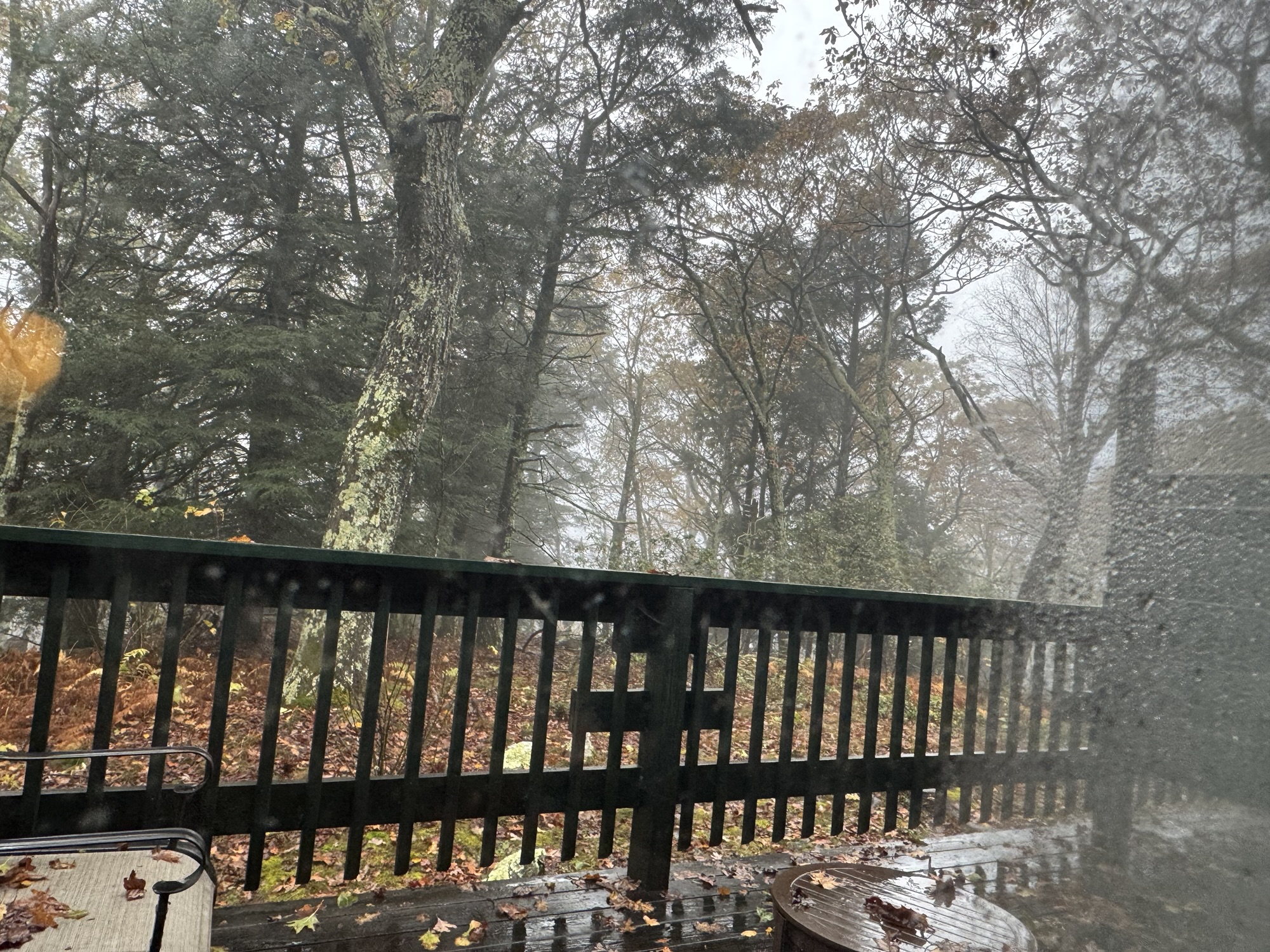
    Tuesday, October 14, 2025. Up at 7:30. Breezy, rainy, foggy, low 50s.

    The entire resort has no water this morning. Annoying for me and Ed, but this place is going to be nasty in about an hour or two once everyone else gets up and moving.

    The forecast is for clearing weather towards noon with no rain this evening. That means dry tents at camp assuming the forecast is correct. We hope to visit Stony Man, The Pinnacle, and Mary’s Rock if the weather is decent. We have 11.4 miles to camp not counting any side trips. We will wait until 9:00 or 10:00 to head out. 

    Water is trying to come back on at 8:45. We checked out at 9:00 and got breakfast at the restaurant before heading out. The restaurant opened at 9:00 once the water was fixed. Good timing. No coffee unfortunately. 

    Skyland Dining Room

    Ran into Jenna and Gus Creedon at breakfast. They are doing a few-day hikes and Jenna saw me as we were leaving the dining room. Chatted for a bit. Great to see them.

    On trail at 10:00. Still overcast, foggy, breezy, and wet. 

    Skipped Stony Man since we are still socked in by clouds. 

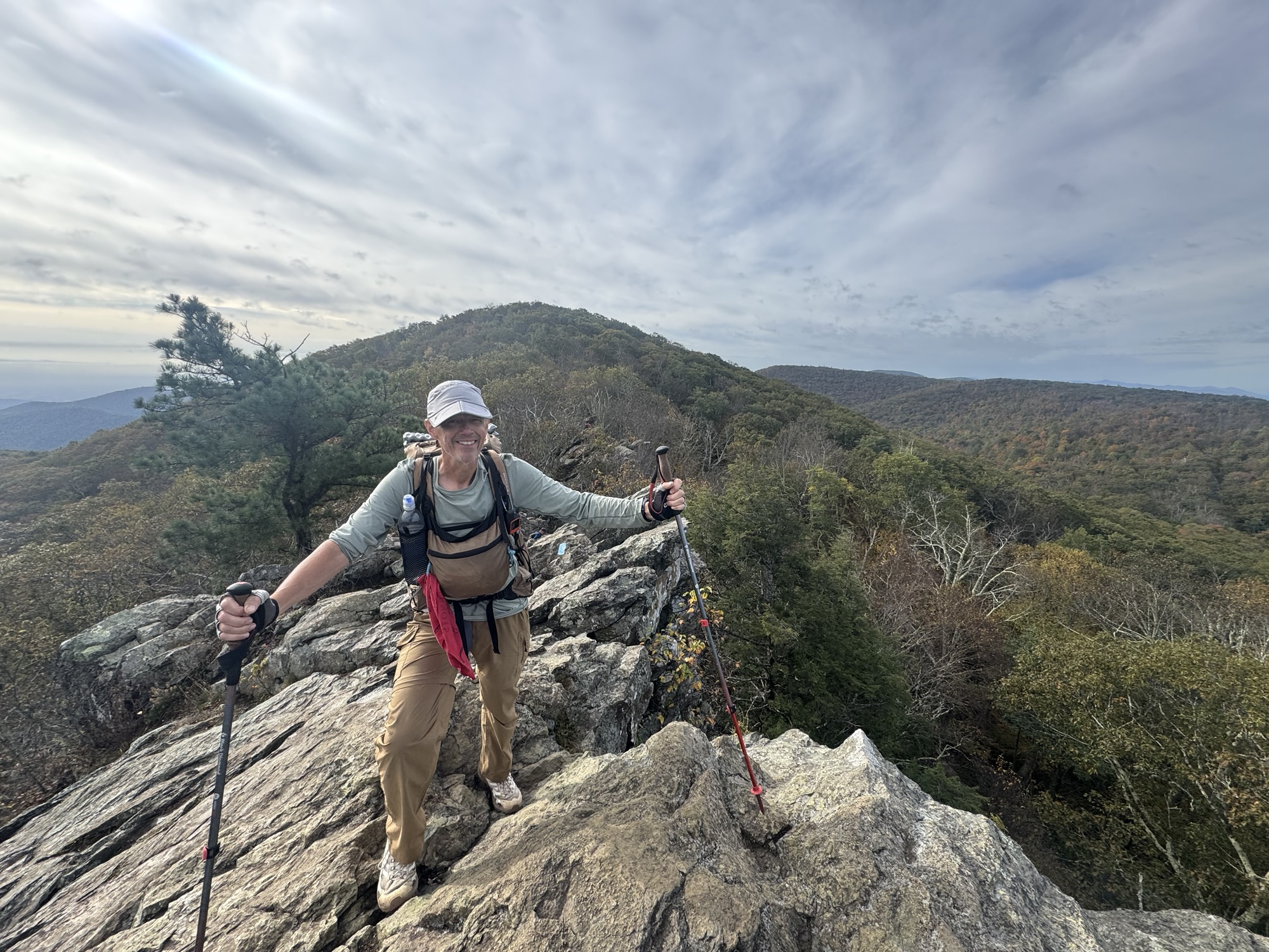
    Reached Little Stony Man Cliffs at 10:39 and 1.4 miles. Here there be dragons. 

    Little Stony Man Ledges
    Little Stony Man Ledges

    Ed’s not feeling well today. A bit of a struggle in crappy weather for him. 

    Reached Pinnacle picnic area at 11:50 and 4.4 miles. No change in weather up here on the mountain. Still cool, foggy, wet, and icky.

    Pinnacle Picnic Area Shenandoah
    Chuck at Pinnacle Picnic Area

    Arrived at The Pinnacle at 12:45. Still cloud-covered.

    Chuck at Pinnacle Rocks Shenandoah

    Arrived at Birds Nest number 3 at 1:10. Sun tried to peek out for a minute, but gave up.

    Bird’s Nest Shelter #3

    At 1:25 we descended below the clouds for the first time today. There is sun down in the valley.

    Clouds lifted in Shenandoah Day 8
    Clouds lifted in Shenandoah Day 8

    Reached Many’s Rock at 1:55. Decent break in the weather. We have 3.5 miles to go to reach camp. Very downhill from here.

    Mary’s Rock
    Mary’s Rock

    Stopped at Panorama parking area for water and bathrooms before heading uphill the last 1.7 miles to camp. Surprisingly large amount of people here and on trail for a Tuesday.

    Panorama Parking Area

    Arrived at Pass Mountain Hut at 3:40. One bar cell service.

    Pass Mountain Hut Shenandoah

    Set up camp, filtered water, and settled in for the evening.

    Camp site at Pass Mountain Hut

    Early dinner at 5:15. We have dinner guests. Getting chilly quick and sun is setting on the other side of the mountain from us. 

    Dinner guest at Pass Mountain Hut

    In bed at 7:30. Good day even with the fog and icky weather to start. I felt really good on trail today. No back issues.

    Day 8 Map

    Technical Notes:

    • Sausage, eggs, toast, potatoes 700
    • Apple juice 250
    • Fig bar 200
    • Trail mix 210
    • Payday bar 250
    • Peak refuel beef stroganoff 810
    • Chex mix 240
    • Water liters .75
    • Miles 11.98
    • Time 5:57
    • Up 2313
    • Down 3297
    • Calories consumed 2660
    • Calories burned 2055
  • Day 7 – Zero Day at Sky Land 

    Day 7 – Zero Day at Sky Land 

    Monday, October 13, 2025. Up at 7:00. Cloudy, foggy, rain stopping around 10:00am, warming to mid 50s.

    Rainy day at Skyland

    Rained all night, but should clear this morning. Fingers crossed. Will have some showers on and off at camp tonight, but the next 2 days look very nice.

    It’s almost 11:00am and the forecast and the actual weather don’t match at all. Still raining, foggy, windy, and not getting any better. Worse if anything. Ed and I had breakfast at the restaurant decided to take a Zero day. There are 3 side trips we want to do and we won’t be able to see anything in this fog today. Therefore we decided to take a Zero day. Bonus with that is we won’t have to deal with wet tents tomorrow morning!

    Rain, wind, fog all day. Things got worse up here all day. Apparently things are decent down in the valley. 

    We read and chilled all day. 

    Technical Notes:

    • Sausage, eggs, toast, potatoes 700
    • Brunswick stew and cheese burger
    • Pasta in cream sauce with shrimp
    • Water liters 0
    • Miles 0
    • Time 0
    • Up 0
    • Down 0
    • Calories consumed 
    • Calories burned 
  • Day 6 – Hawks Bill Stealth Camp to Sky Land

    Day 6 – Hawks Bill Stealth Camp to Sky Land

    Sunday, October 12, 2025. Up at 8:30. Windy and rainy and 50s. 

    Big storm last night. Rain and wind. We are decently sheltered from the worst of the wind coming in from the east by Hawks Bill cliffs. We can hear the wind roaring above us but it is not terrible where we are. However, we need to leave eventually and head north out of the shelter of the cliffs. 

    We decided to stay hunkered down a bit longer as radar shows a break in the rain about 10:00. It won’t get any warmer than it is now. We only have 4.4 miles to go and check-in isn’t until 4:00.

    The temps went up more than I expected. It’s roughly 55, windy, foggy, light rain. The worst of the storm blew through in the night and stayed further offshore. Not a terrible hike but everything is wet. Looking forward to a shower, dry clothes, and to drying all our gear out.

    Arrived at Skyland at 12:15. We will be taking a Nero day here and a late checkout tomorrow. Checked in but room will not be ready for an hour or two. Dumped our gear in the basement, put on a dry shirt, and got lunch at the restaurant.

    Hung out and chatted with a nice older couple who live in Stanley, VA. That is right down in the valley from where we are. Also chatted with a group of 3 hikers on fall break from Michigan. They drove out here to hike Shenandoah for a few days. Had a very nice conversation with them and shared my blog address.

    We got our room around 3:00. Ed and I both exploded all our gear in the room to dry things out. This is where a picture and a video are worth a thousand words.

    Pack Explosion in Shenandoah Once

    YouTube video of pack explosion in Shenandoah 

    Once we got things dry or drying, we headed back to the Tap Room for dinner and drinks. The restaurant and bar were packed! Had a nice dinner, grabbed some beverages to go from the lodge store, settled into our room for the evening. The fog/clouds are insane this evening. I can’t imagine driving out there this evening.

    Tomorrow is a little up in the air depending on the weather. It should clear up about mid-day. The tentative plan is to get late breakfast and hit the trail at 11:00.

    Day 6 Map

    Technical Notes:

    • Snickers 220
    • Zero sugar sausage 80
    • Payday 240
    • Lots of food on a Nero day…stopped counting 
    • Water liters .5
    • Miles 4.16
    • Time 1:48
    • Up 853
    • Down 781
    • Calories consumed – lots on a Nero
    • Calories burned 720
  • Day 5 – Bearfence Hut to Rock Springs Hut

    Day 5 – Bearfence Hut to Rock Springs Hut

    Saturday, October 11, 2025. Up at 7:45. Cold, cloudy, no wind. Sun should come out later this morning and get up to 60. Rain late this evening.

    We had a group arrive at the shelter way after dark at 8:00. Noisy. But I could not sleep so no big deal. They left before sunrise this morning.

    I forgot to open the vents on my tent last night and woke to a very wet inner then fly. Outside is dry but wet inside from condensation. Fully disassembled the inner and outer tent to keep the inner dry today. Hopefully the sun comes out and I dry the tent before the rains get here this evening.

    On trail at 8:50. We have a .7 icky uphill then we get to have fun on the Bearfence Rock Scramble.

    Bearfence rock scramble about 10:00. Lots of fun and lots of people. Mainly families. I always love this scramble and Ed really enjoyed it as well. 

    Chuck at Bearfence
    Ed on Bearfence rock scramble

    Had to make this little girl give us the trail at one point. Did not think she was going to budge.

    Doe in Shenandoah

    Stopped at Milam Gap parking area at noon to dry my tent on the grass. Only took 20 minutes in the full sun and light breeze.

    Reached Big Meadows wayside for supplies and a Coke at 1:15. Very crowded with the holiday crowd. Pushed on to Big Meadows lodge at 2:00 to charge electronics and get a hot meal at the Tap Room. Talked to Pitcrew for a while. Had to wait until 2:30 for the tap room to open. I got 2 days with of blogs uploaded. Will catch up on the rest tomorrow at Sky Land. I had a pizza and beer and Ed had wings and beer. And all was right with the world. 

    We got sandwiches to go and headed out 3.8 miles to our campsite at 4:00. Reached Rock Spring Hut at 5:40. As I was afraid, no room at the inn. Must have been close to 20 people in an area that can hold 12-15 max. 

    We moved on to our alternate stealth camp site in the woods about .3 miles further north. Reached the camp spot at 6:10. We are moving fast as sunset is in 35 minutes. Decent spot in some trees just off trail underneath Hawks Bill rocks. Several dead trees so we tried to be careful about picking our exact tent sites as we will get wind and rain tonight. There is a nor’easter coming up the coast. 

    Had our carry out sandwiches for dinner in our tents at 6:50. Getting chilly fast. 

    About 7:20 a group of 4 hikers all with nice new shiny gear walked by using their head lamps. They took a wrong turn just past us and got off the AT onto a side trail. At least the figured that out and turned around fairly quickly. They must be headed to Rock Spring Hut where there is zero space to camp. I will be curious to see if they push on to who knows where or turn around and come back here. Night hiking can be tricky and hiking without a good plan even more so.

    It was a nice short day with a fun rock scramble and a good hot meal. And a good alternate camp site. I love it when a plan comes together.

    Day 5 Map

    Technical Notes:

    • Pop Tarts 360
    • Fig bar 200
    • Skittles 120
    • Root beer 140
    • Large latte 200
    • Pepperoni pizza 600
    • Corona 148
    • Corona 148
    • Club sandwich 400
    • Potato chips 300
    • Skittles 120
    • Water liters 1
    • Miles 13.5
    • Time 9:00
    • Up 2713
    • Down 2208
    • Calories consumed 2740
    • Calories burned 2757
  • Day 4 – Hightop Hut to Bearfence Hut

    Day 4 – Hightop Hut to Bearfence Hut

    Friday, October 10, 2025. Up at 7:30. Cold, foggy, overcast, breezy. Got down to 38 last night. Sunny and upper 50s today.

    On trail at 8:55. Fingers crossed we get one of the 30 spots at Lewis Campground.

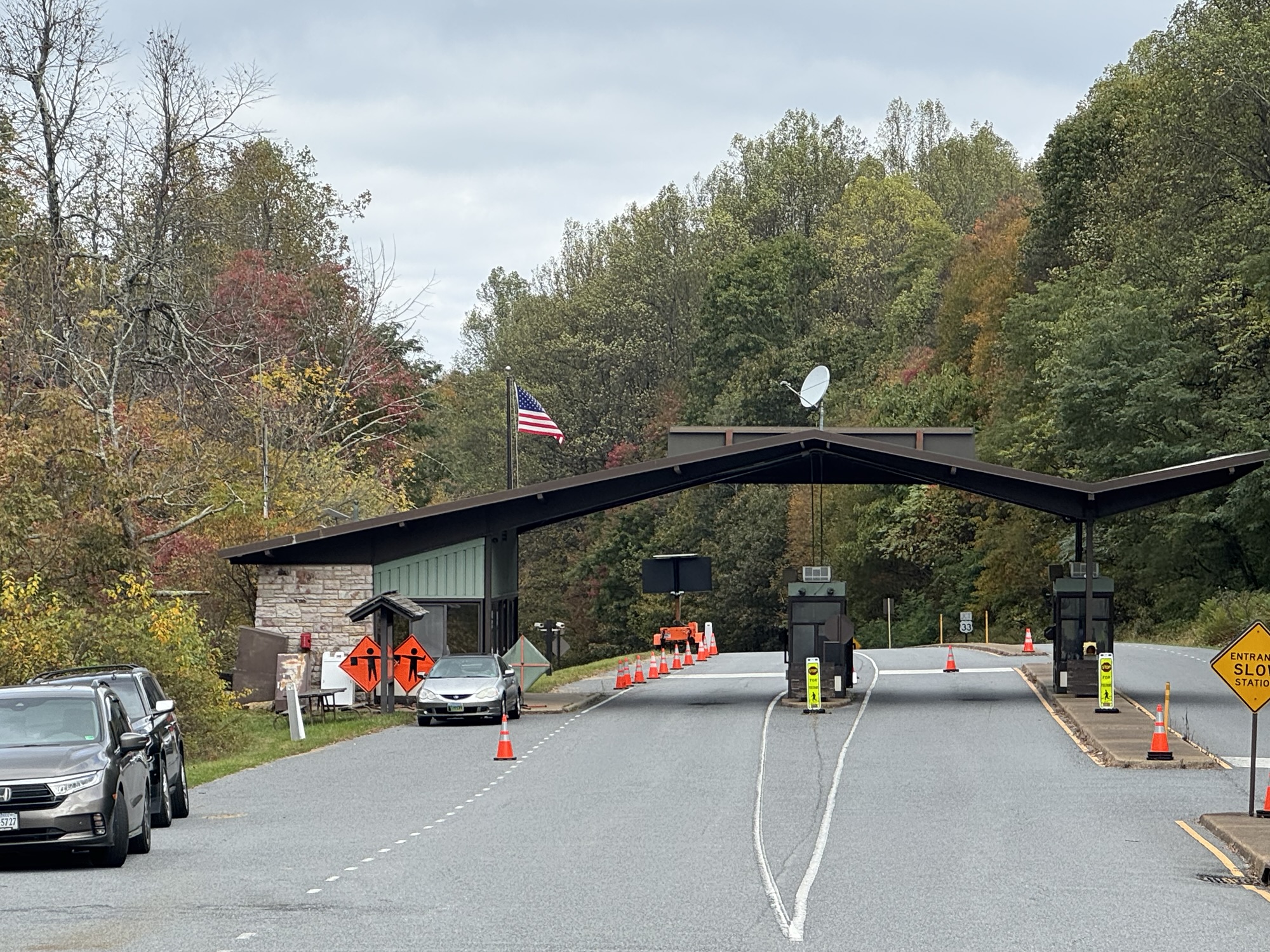
    Fairly easy morning. Uphill .7 miles to start but not bad. Chilly and breezy. Reached the Swift Run Gap, US 33 park entrance station at 10:30 and 3.68 miles. Walked to the entrance to get water and have second breakfast.

    Ed and Chuck at US 33
    Swift Run Gap park entrance

    Hiked 2 .2 miles uphill to South River Picnic Area at 12:00 for a snack and a rest. Still chilly, mostly cloudy even though forecast say sunshine. Oh well. 

    Tons of people here. Just about every parking spot taken. I guess it is a holiday weekend. Laughing at people who are disgusted by the park pit toilets. They are perfectly fine. LOL.

    Back on trail at 12:30. Boring hike today with not much to see.

    Arrived at Lewis Mountain campground at 2:45. It’s all booked up as I suspected. Got a soda and a sandwich as a late afternoon snack and chilled at the camp store for a bit. Picked up some resupply I probably did not need. Pushed on another mile to Bearfence Hut at 3:30.

    We arrived at Bearfence Hut at 4:00. Nice little shelter and very nice tent pads. No cell service, but sheltered from the wind. Can’t have everything. Nobody else here once again.

    Bearfence Hut

    Ed and I had dinner about 6:00 then headed to our tents. It’s getting cold fast. 

    I have been worried about the weather on Sunday. It’s supposed to rain all day and the temperature is a wild card. It could be in the mid 50s on Sunday, but it will most definitely be in the 40s or worse Sunday night. I’ve done cold rain on trail for a few days at a time and it sucks big time. This is hypothermia weather. 

    I told Ed we need to start thinking about backup plans for Sunday. While we are equipped to survive this kind of weather, this isn’t a thru-hike and we are out here to enjoy ourselves. Not just to survive.

    Ed texted with Lisa via satellite and she got us a room Sunday night at Skyland resort about 18 miles north on the AT. I thought there might be a chance of a room there. That’s the most expensive place in the park and usually the last to book up on weekends like this. We may have gotten the last room. 

    We will camp in the rain Saturday night then hike about 2.5 hours to Skyland and make like hiker trash in the lobby or elsewhere until we can checkin later in the afternoon. I can just imagine what that room will look like with two of us trying to dry out our gear in the hotel room. Brings back fond memories of my time in the Smokies on my thru-hike last spring. 

    Day 4 Map

    Technical Notes:

    • Pop Tarts 360
    • Snickers 250
    • Trail mix 210
    • Skittles 120
    • Skittles 120
    • Italian sandwich 590
    • Dr pepper 140
    • Dr pepper 140
    • Ramen 370
    • Tuna 70
    • Fritos 560
    • Water liters 2.5
    • Miles 14.32
    • Time 7:09
    • Up 2999
    • Down 3045
    • Calories consumed 2930
    • Calories burned 2349
  • Day 3 – Loft Mountain Campground to Hightop Hut

    Day 3 – Loft Mountain Campground to Hightop Hut

    Thursday, October 9, 2025. Up at 7:30. Upper 30s this morning going up to  upper 50s today. Breezy.

    Very windy last night but clear. Full

    Moon was amazing. It was more light out at midnight than sunrise. Ate breakfast, packed up and headed to camp store for coffee at 8:50.

    Breakfast at Loft Mountain camp store

    We have a medium-hard 14.5 miles to go today to reach Hightop Hut.

    Hard steep 1 mile climb out of Ivy Creek. My legs are feeling that one! Summited at 11:50 and 4 miles in.

    Chuck at Ivy Creek

    Stopped at the Ivy Creek Overlook on Skyline Drive at 12:00 for a short break. The leaves are turning colors just the past 72 hours.

    Leaves turning in Shenandoah

    Lots up solid uphills today. Getting a good workout.

    Stopped at Simmons Gap Ranger Station for water at 1:50 and 8.4 miles in. Nobody here due to the government shutdown, but water pump works. Had to stop here on my thru-hike last year as well. Had lunch and got back on trail at 2:15. We have 6.4 miles to camp and the last 2 miles will be steep uphill.

    Simmons Gap Ranger Station
    Water at Simmons Gap

    Tough last 3.6 miles uphill. Not as nasty when I hiked to this same camp site last year in July in 95 degrees and 85% humidity!

    Got to Hightop Hut at little after 5:00. We have it to ourselves. Got camp setup and filtered water. Real nice spot. No wind, unlike last night!

    Hightop Hut campsite

    One bar cell service. Called Pitcrew and chatted while I made dinner. It got COLD as soon as the fun set and the wind is picking up again. Freeze warning tonight. 

    Good day. I’m annoyed at my legs and hips. This hike should be easier than this. I suppose I deserve the pain done I took 2 weeks vacation right before this and got no exercise. One of these days I will learn.

    Tomorrow should be a good day. 12.2 miles to Lewis Campground. It’s a Friday so we have our fingers crossed on getting a camp site. If not then we have another 1 mile to Bearfence Hut. Either way we will pick up dinner and snacks at the Lewis Mountain camp store. Should be there between 2:00 and 3:00.

    Day 3 Map

    Technical Notes:

    • Pop Tarts 360
    • Half a Hershey bar 180
    • Half a Hershey bar 180
    • Fatty sausage  300
    • Skittles 130
    • Ramen 370
    • Spam 230
    • Fritos 560
    • Water liters 2.75
    • Miles 14.87
    • Time 8:00
    • Up 3474
    • Down 3491
    • Calories consumed 2280
    • Calories burned 2785
  • Day 2 – Wildcat Ridge to Loft Mountain Campground 

    Day 2 – Wildcat Ridge to Loft Mountain Campground 

    Wednesday, October 8, 2025. Up at 8:00. Foggy, Dan, mid 60s going to mid 70s. Clearing this afternoon.

    Rained on and off last night. Woke at 7:00 to heavy fog so I went back to sleep for a while. 

    Will have to pack up a wet tent and try to dry it if the sun comes out later afternoon. We camped on heavy leaves so at least stuff isn’t muddy! Broke down camp and got on trail about 9:15.

    Reached the Riprap Trail parking area at 10:05 and 2.13 miles. Humid and breezy. Sun is trying to come out. Hopefully that helps with the humidity. Took the legs off my pants. Too humid for long pants and the weather gets better as the day progresses.

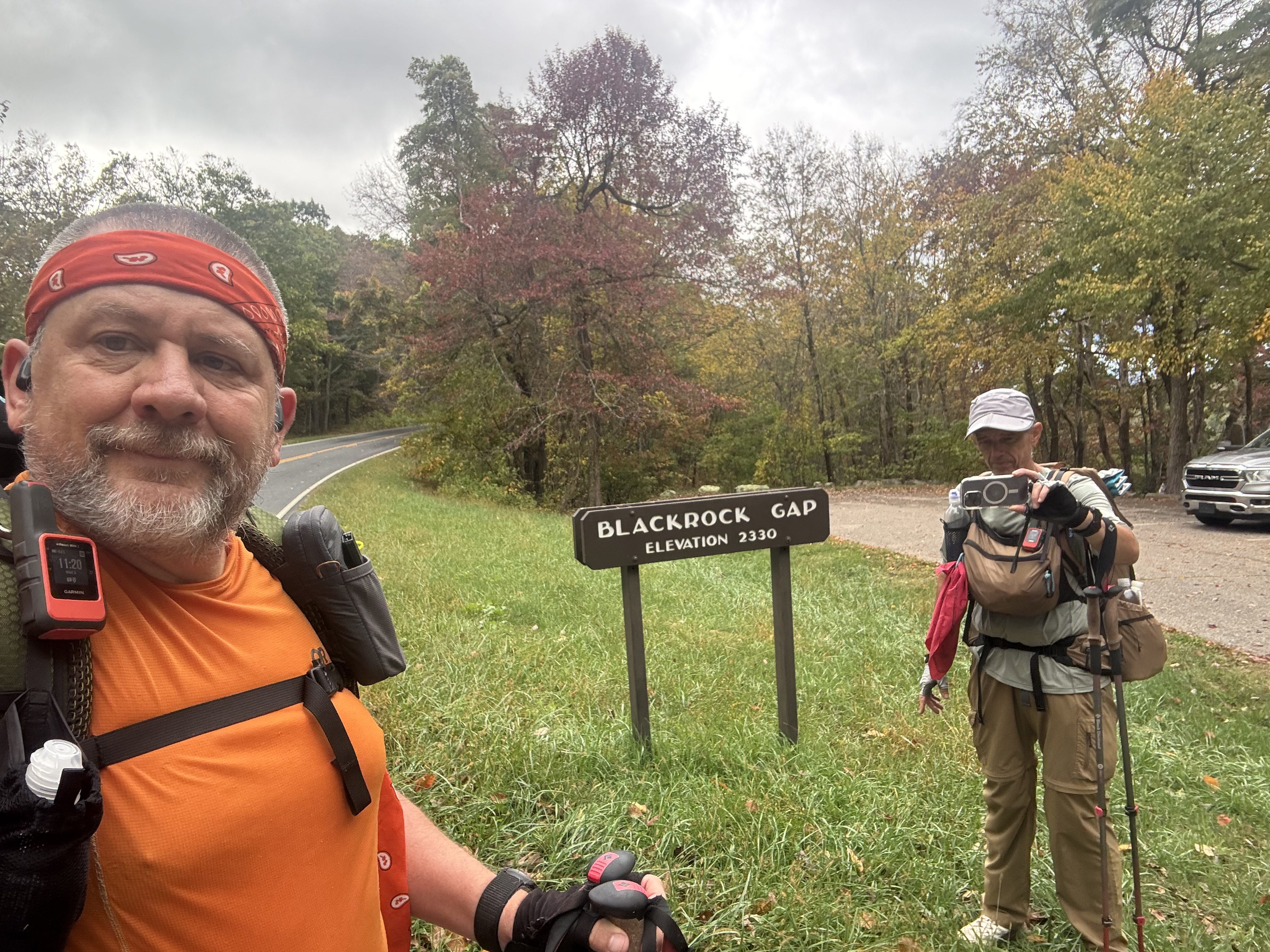
    Reached Blackrock Gap at 11:20 and 5 miles. Got cloudy again. Overcast and breeze feels nice. Trail is nice except for the slippery wet leaves. 

    Chuck and Ed at Blackrock

    Arrived at Blackrock Hut at 11:50. No water this year. This place was packed last year when we came through here in early July. Probably 12 other hikers minimum. We have 7.2 miles to reach Loft Mountain campground. Should be there by 4:00.

    Blackrock Hut

    Summited Blackrock at 12:50. Nice view to the west all the way across the Shenandoah valley.

    Chuck on Blackrock summit

    Quick break at Dundo Picnic Grounds at 1:45. Emptied trash and tested my feat. We have .7 miles downhill then 3.8 uphill to Loft Mountain campground. Probably 4:15.

    Startled a doe about 2 miles from camp.

    Startled a doe in Shenandoah

    Got to Loft Mountain campground and checked in just before 4:00. Set up camp in a nice sunny spot. Tent was a bit damp but dried quickly.

    Loft Mountain campground

    Headed to camp store at 5:00 or dinner and 2 days resupply. Good selection. We both got cold sandwiches and beverages for dinner. Ramen and spam for resupply dinner plus snacks.

    Ate dinner at camp and got into tent early. Getting cold fast and winds picking up. In bed at 7:00.

    Good day. Legs and feet need more work, but getting there.

    Day 2 map

    Technical Notes:

    • Pop Tarts 360
    • Fatty beef stick 300
    • Trail mix 210
    • Zero sugar sausage 120
    • Payday 240
    • 1330
    • Italian sub 590
    • Italian sandwich 450
    • Seltzer 400
    • Reese’s 400
    • Fritos 500
    • Water liters 2.25
    • Miles 13.44
    • Time 7:00
    • Up 3064
    • Down 2602
    • Calories consumed 3670
    • Calories burned 2716
  • Day 1 – Rockfish Gap to Wildcat Ridge

    Day 1 – Rockfish Gap to Wildcat Ridge

    Tuesday, October 7, 2025. Up at 6:00. Clear, 60 going up to 80 with rain in the evening.

    Had a nice breakfast at Mountain Home B&B. Our shuttle driver Scott shuttled us to Rockfish Gap near Waynesboro, VA at 7:00am. On trail at 9:10.

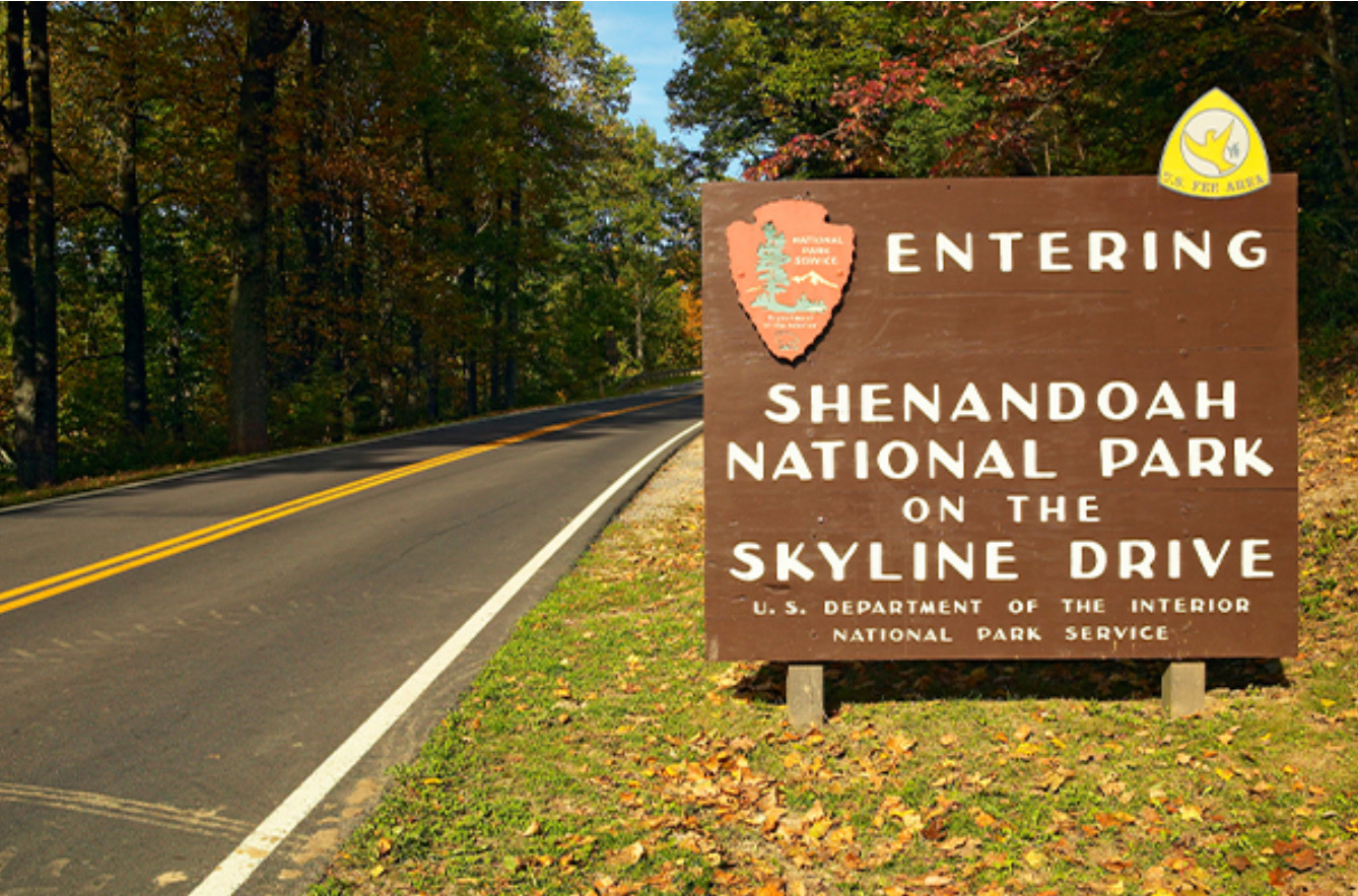
    Ed and Chuck entering Shenandoah

    First Skyline Drive crossing of many at McCormick Gap at 10:54 and 3.4 miles in. Good steady uphill hike so far today. Should stay that way until Bear Den Mountain.

    Skyline Drive at McCormick Gap

    Reached Bear Den Mountain and the communications towers at 11:30 and 4.8 miles. Good place for a rest and a snack. I always love the tractor seats set into the ground directly on the AT.

    Bear Den communications towers
    Tractor seats at Bear Den Mountain

    Decent descent to Skyline Drive at Beagle Gap then back uphill to Little Calf Mountain. Summited Little Calf Mountain at 12:45. Nice workout. Winds picking up and sky’s are getting cloudy. Rain this evening.

    Little Calf Mountain summit

    Stopped at the spring just before the Calf Mountain Shelter for water at 1:30. This is our only water until tomorrow evening. Very dry out here. I am carrying 4.25 liters or 10lbs of water for hiking 8 more miles this afternoon, cooking tonight, and hiking 14 miles tomorrow. I like this better than our original plan of camping here, then going 2 more days to the next water. Makes for a long first day, but I prefer this plan.

    Small world. We ran into Antlers. We hiked with him multiple times in Maine back in August. He is section hiking part of Shenandoah with 2 friends.

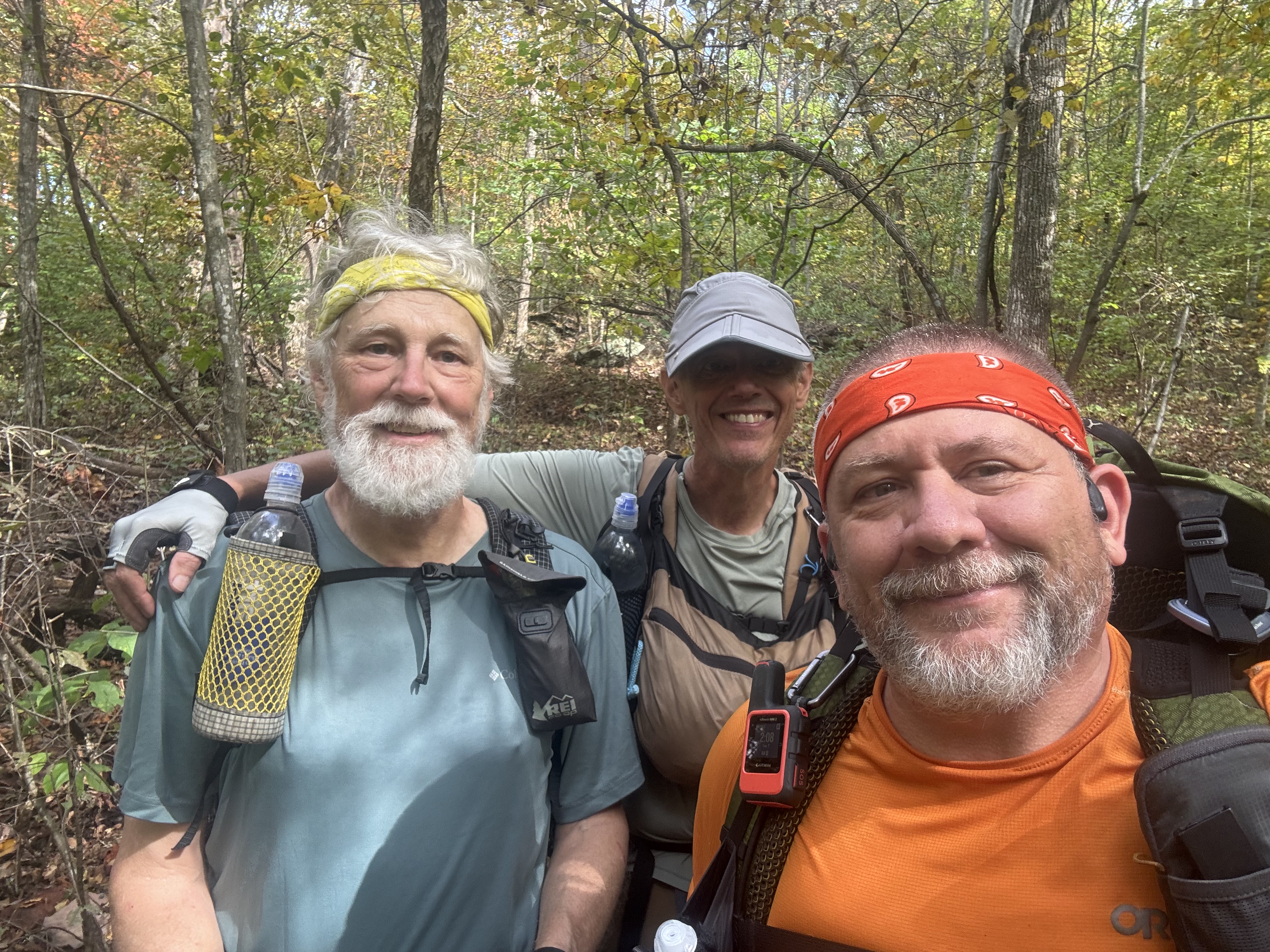
    Ed, Chuck, Antlers in Shenandoah

    This extra 5lbs sucks. I swear the added weight over about 25 lbs is NOT linear. More logarithmic in terms of how it feels!

    Stopped for a short break at Sawmill Run overlook at 3:30. We have 4 miles to go all uphill from here. Both Ed and I are struggling with the extra water weight.

    We found a set of stealth camping spots about one mile further than planned at 15.4 miles. Decent spot for 3 or 4 tents. We got here at 5:40. 

    Set up tents quickly as the rain started to arrive at 6:00. Made dinner in our tent vestibules due to rain. 

    Stealth camping in Shenandoah
    Cooking dinner in the tent vestibule

    All snug in my tent, blogging, and reading at 7:30. Curious to see how much rain we get and how cold it gets. 

    Good hard day overall. Double our original plan, but I never liked that plan. The last 3 miles up to camp with all the heavy water was not fun, but no choice. Drought.

    Hard day today sets us up for a much easier day tomorrow. About 13 miles to Loft Mountain campground where we hope to get a camping spot in the camp ground. 

    Day 1 Map

    Technical Notes:

    • Veggie cheese omlette 300
    • Fruit 120
    • Toast 111 
    • Apple cider 140
    • Coffee 30
    • Fig bar 200
    • Trail mix 210
    • Peak Refuel Home Style chicken and rice 740
    • Water liters 2
    • Miles 15.4
    • Time 8:30
    • Up 3858
    • Down 2907
    • Calories consumed 1850
    • Calories burned 3535
  • Day 0 – Poolesville, MD to Front Royal, VA

    Day 0 – Poolesville, MD to Front Royal, VA

    Monday, October 6, 2025.

    Base weight with some cold weather gear is 21.87 lbs and full weight with 1.75 liters of water and 2.5 days food is basically 30 lbs. Carrying my Osprey Atmos 65 pack and using my Durston X-mid tent as usual. 

    Ed and I are leaving this afternoon to hike Shenandoah for 8-10 days. We will be hiking all of the AT through Shenandoah National Park. At the present time, all the revenue generating facilities in the park are open even with the Federal Government Shutdown. That includes camp grounds, camp sites, and waysides. That is critical as we will plan to resupply from the camp grounds and waysides very 2 days or so.

    One bit challenge will be water. Fall is normally dry in that area, but to make things worse this has been a bad drought year. We have at least one 2-day water carry. I am not looking forward to carrying 2-days worth of water (almost 10lbs).

    I spent several hours getting all my gear ready for our 8-10 day NOBO hike from Waynesboro, VA to Front Royal, VA. I had to tweak my gear loadout for the cold weather as well as a few lessons learned from this summer.

    I finished my new Web Site for blogging last night. This new waste is much easier for the readers as well as much simpler and faster for me to post to. I moved over most of my old content and am looking t forward to seeing how my blogging goes over the next 2 weeks.

    Ed will pick me up in Poolesville around 4:00pm and then drive us about 2 hours to Front Royal, VA. We are staying Monday night at a B&B / Hostel that we have used before. We will leave Ed’s car at the hostel, shuttle to Waynesboro, VA Tuesday morning, and then hike back to Front Royal.

    The weather looks great other than a chance of rain on Wednesday. Cool, clear, and breezy weather. Perfect fall hiking weather.

  • Day 3 – Ensign Cowell Shelter  to Pen Mar Park 

    Day 3 – Ensign Cowell Shelter to Pen Mar Park 

    Thursday, Sep 18, 2025. Up at 8:20. Clear cool morning.

    We are taking our time to let the sun dry a few things out from yesterday’s rains. Only 10 miles to go today and our ride won’t pick us up till around 4:45pm.

    Got dried out a tiny bit. We left a gallon of water at the shelter. On trail at 10:15 (mile 1057.8).

    Uneventful morning. Stopped at a running stream for second breakfast at 11:30 and 3 miles in. 

    Climbed up to Raven Rock for a break and a nice view. Hazy day, but that’s Hagerstown MD way across the valley. 

    Ed at Raven Rock, MD
    Chuck at Raven Rock, MD

    Stopped at High Rock for lunch at 2:00. Just 3 miles to go. Quiet up here on a Thursday afternoon. The fence is new this year. It might keep a few kids from falling off, but it’s still easy to go around it and climb on the rocks.

    High Rock with the new fence
    Chuck at High Rock

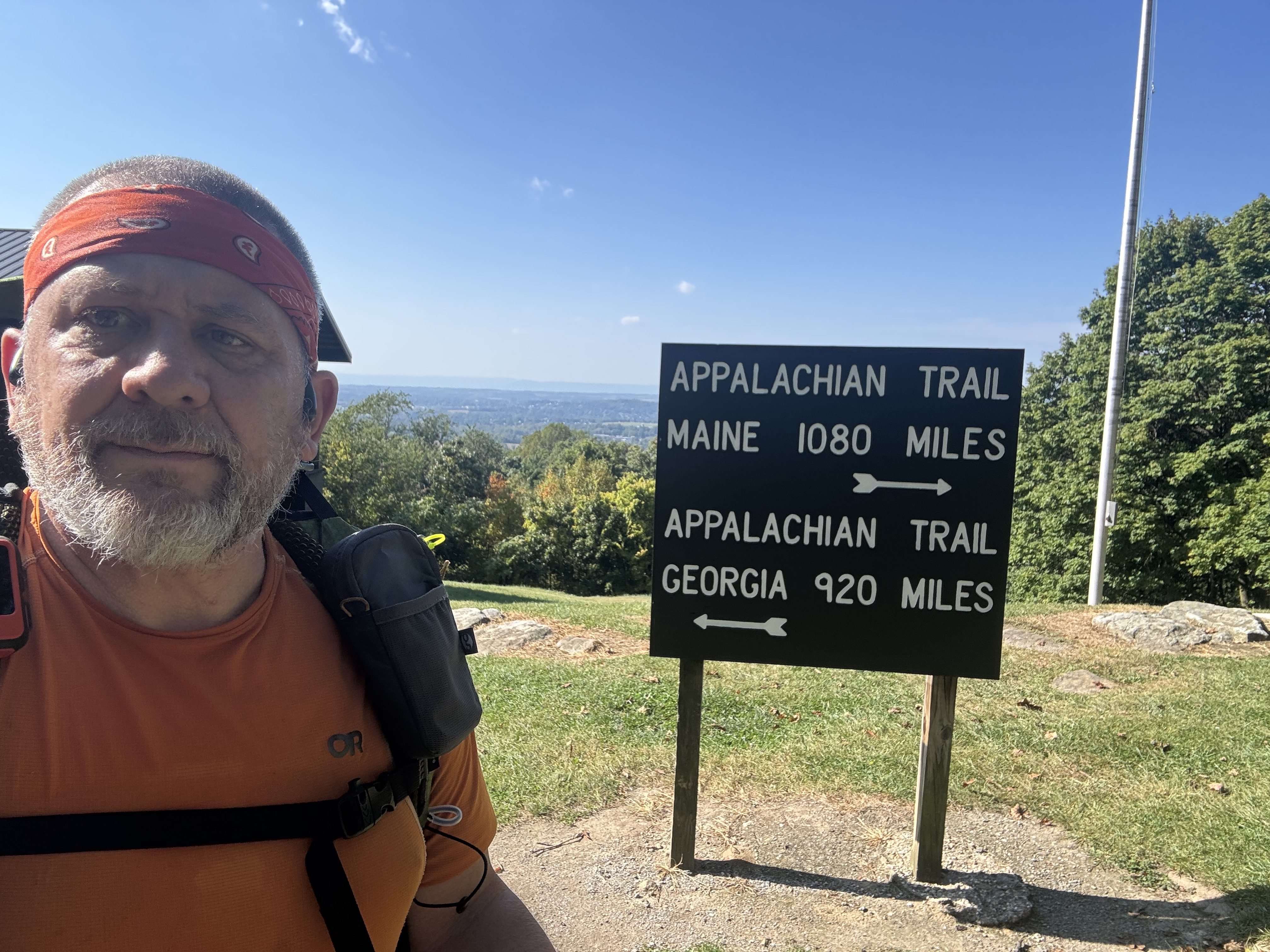
    Reached Pen Mar (mile 1967.4) at 3:50 and 9.9 miles. Great place to end a hike. 

    Wrapping up the hike at Pen Mar Park, MD

    We did not expect Dana to pick us up until 5:00, but she got here at the same time that we did. Sweet!

    We drove to our favorite diner in Frederick for an early dinner courtesy of Ed.

    Post-hike milkshake at Mountain View Diner in Frederick, MD

    Good end to short hike. Even with the bad weather yesterday.

    Technical Notes:

    • Pop tarts 360
    • Trail mix 210
    • Fig bar 200
    • Fatty beef stick 300
    • Water liters: 3
    • Miles: 9.83
    • Time: 5:33
    • Elevation gain: 1946 up
    • Elevation descent: 2011 down
    • Calories consumed: TBD
    • Calories burned: 1781