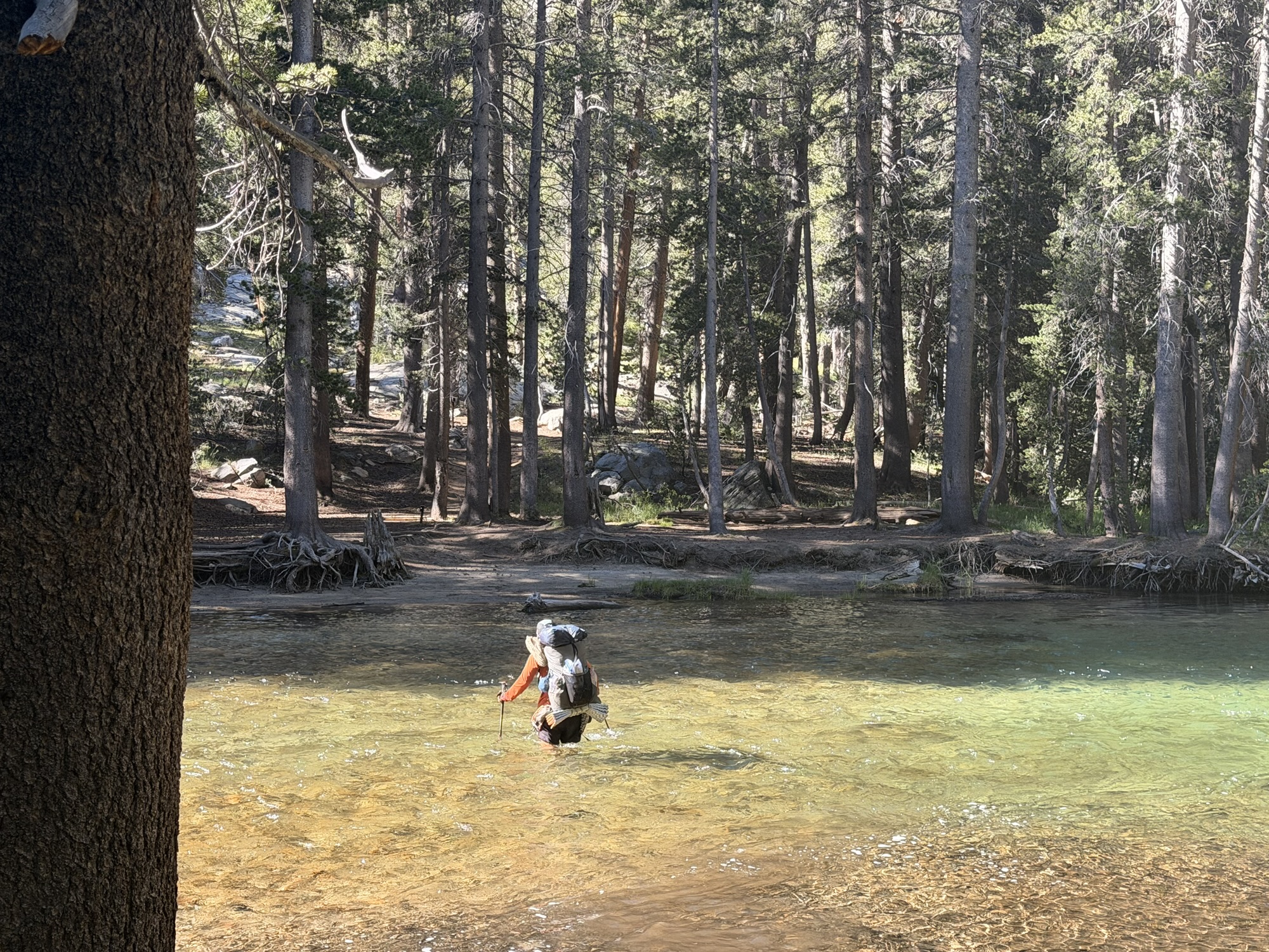
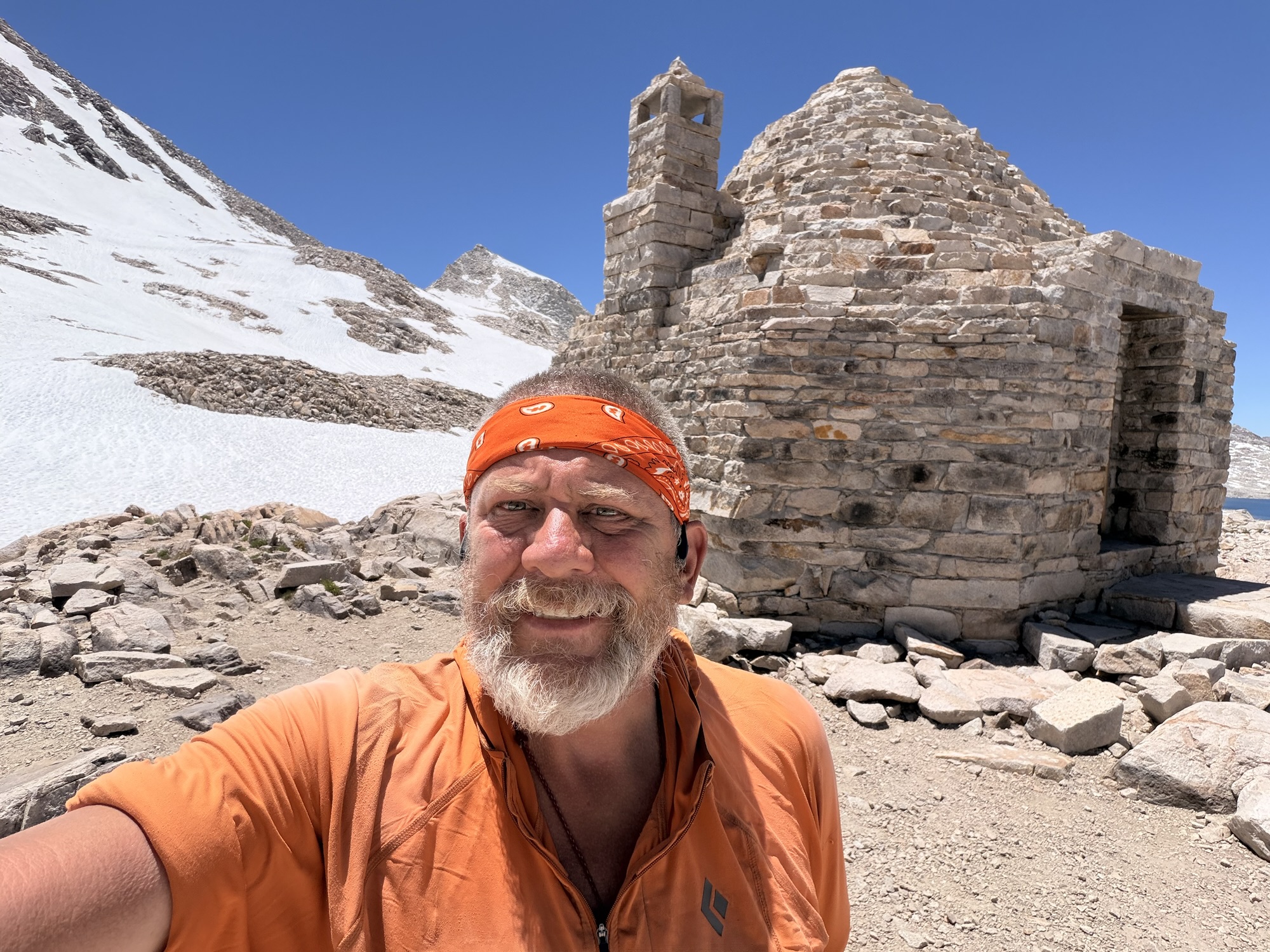
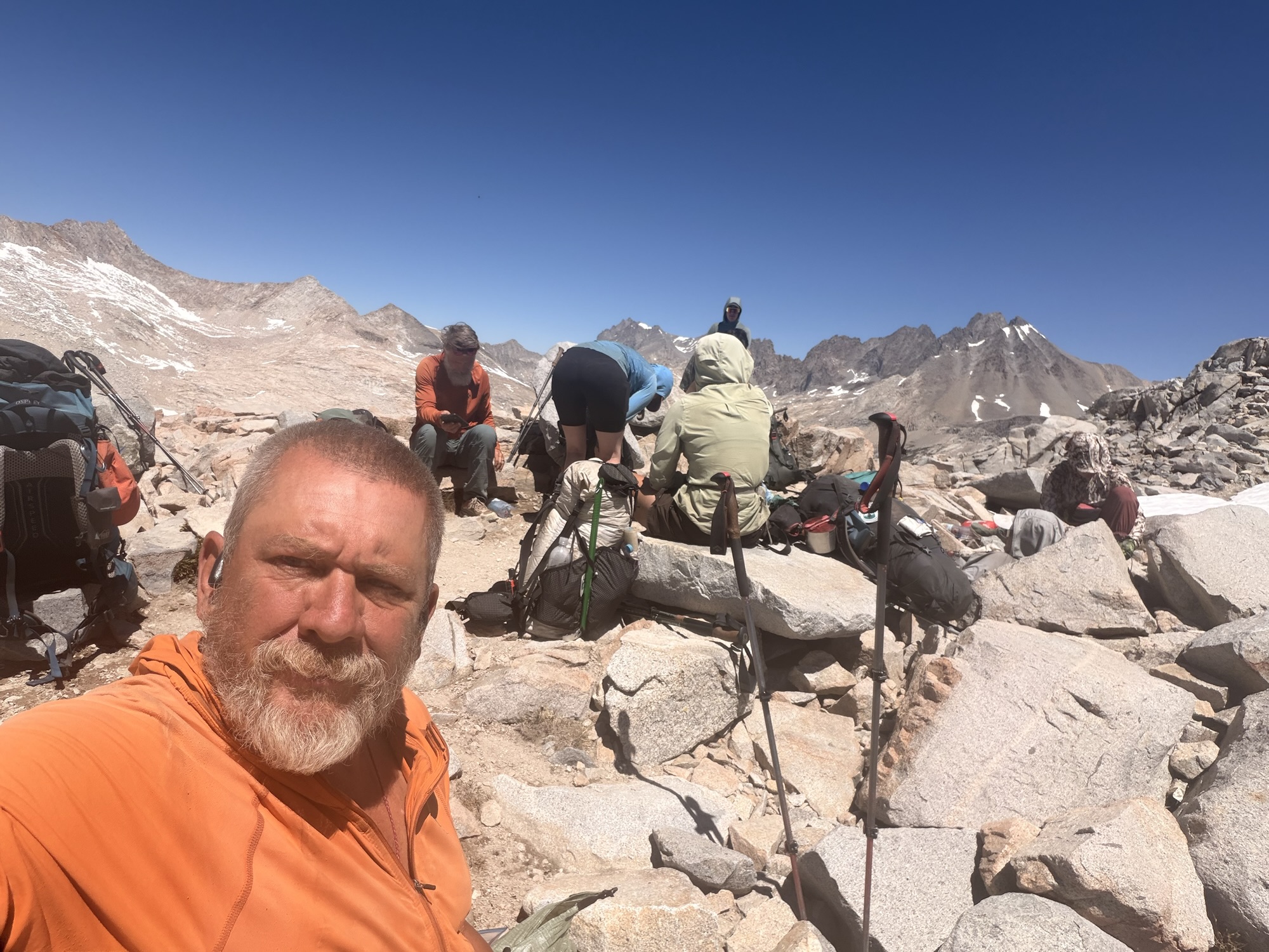
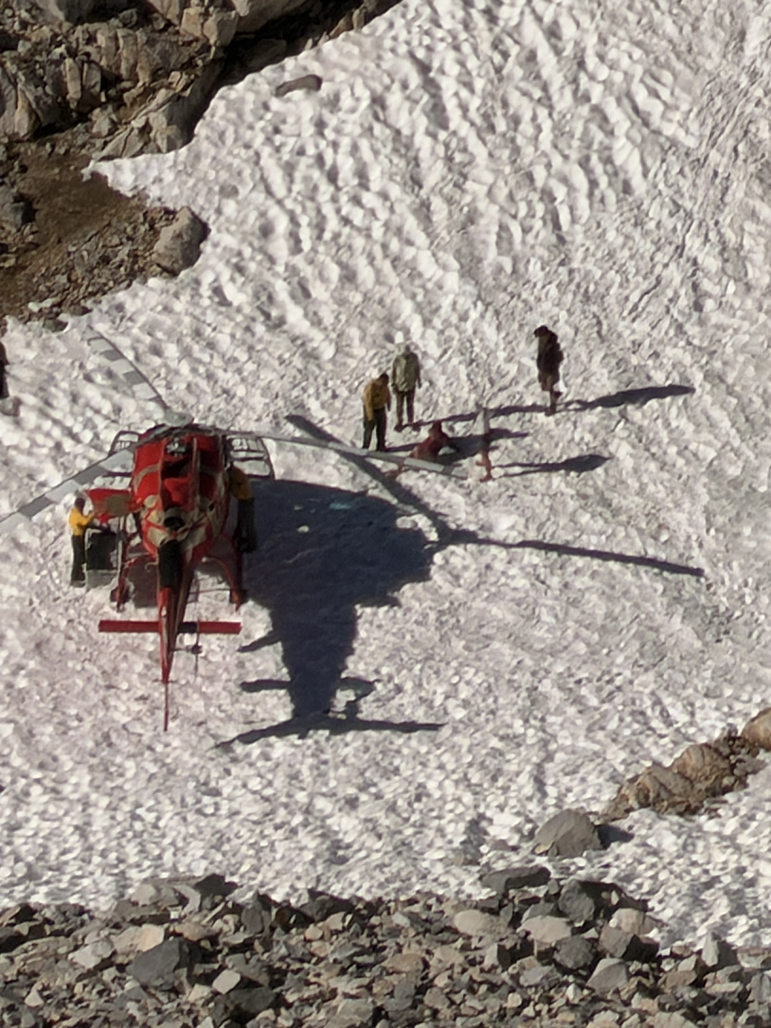
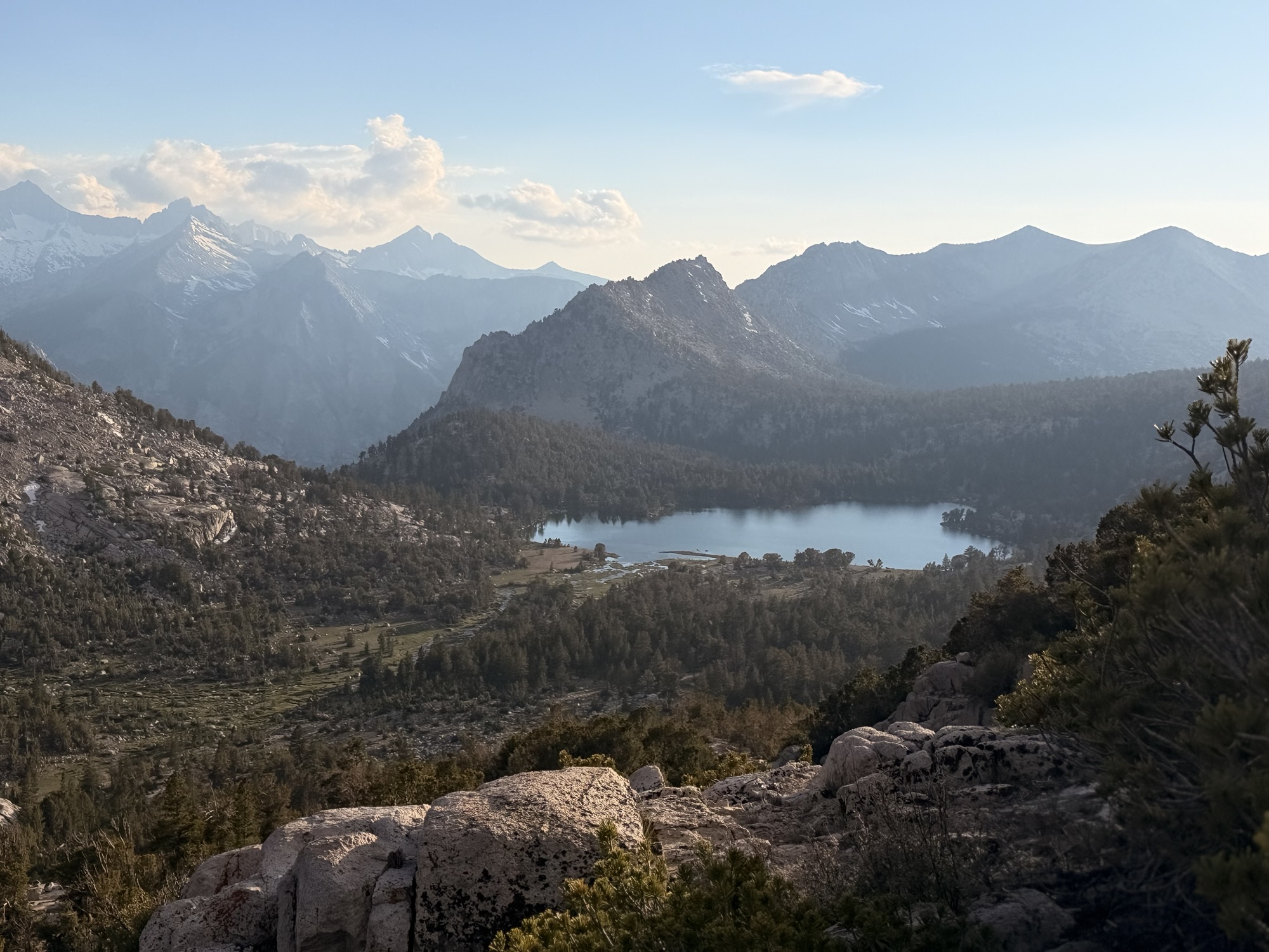
We started the summit ascent of Muir Pass at about 11:30 and reached the summit of Muir Pass (11,970) at 1:20. Spectacular views and a hard ascent up here. River crossings, multiple snow fields, a sketchy snow bridge, more big snow fields, and lots of frozen lakes.
Sunday, June 21. Low 40s and clear going up to upper 60s.
Up at 5:30. New tent is working great. Packed and on trail at 7:00. We have 7 miles downhill then 7 miles uphill to get over Pinchot Pass. Then a few miles to find a campsite.
Day 59 Morning at campDay 59 Morning at campDay 59 Morning at camp
Five water crossings on rocks today. Mostly dry feet.
Crossed the 800-mile mark. Still less than 1/3 of the way!
Day 59 800 Mile Marker
Crossed suspension bridge at 10:29.
Day 59 Woods Creek Suspension BridgeDay 59 Woods Creek Suspension BridgeDay 59 Woods Creek Suspension BridgeDay 59 Woods Creek Suspension Bridge
Time to start our 7-mile ascent to Pinchot Pass at 10:45. We will stop for lunch about halfway up.
Mother Nature’s water slide.
Day 59 Woods Creek Water Slide
Stopped for lunch at noon. Still have 5.6 miles to the summit of Pinchot Pass. It was a very hard climb.
Summited Pinchot Pass ( 12127 ft ) at 4:50. Another very hard ascent. I was last up by 45 minutes.
Day 59 Top of Pinchot PassDay 59 Top of Pinchot PassDay 59 Top of Pinchot Pass
The descent was only 1.5 miles with minimal snow. Set up camp at 6:00 next to Lake Marjorie with some friends.
Day 59 Lakes on Descent of Pinchot PassDay 59 Marmot
In tent at 7:15 after dinner to work on blogs and trip planning.
Today was very hard. Everyone was complaining about today’s ascent. We have 4 more days until we reach VVR on Friday and one hard pass to summit each of those days. This is a very difficult stretch of trail. My body is going to need a break.
Margarita is getting a ride to Piute Trail tomorrow and will hike in 8 miles tomorrow and the remaining 8 miles Tuesday morning. She will be ahead of us, but we should catch up by Thursday.
Day 59 Map – Mile 794.5 to Mile 809.8
Technical Notes:
Protein Shake (10oz): 330 cal, 19g carb, 13.5g fat, 36g protein
Saturday, June 20. Mid-40s and clear going up to low 70s.
Up at 5:30. Packed up and waited in the hotel for the restaurant across the street to open for breakfast at 7:00. Trying a new pack load-out headed out of Bishop. Carrying about 40 lbs for six days’ carry to VVR (Vermilion Valley Resort).
New Pack Setup Leaving Bishop
Had breakfast, checked out of the hotel, then took the town bus to the bus stop for the hour trip south to Independence. Headed out about 10 minutes late at 9:00. About 12 hikers in the bus headed back to the trail this morning.
I’m looking forward to getting back on the trail. I’m not looking forward to another 6-day remote stretch with a big food carry. The remoteness gets to me sometimes. I am curious to see if/when we catch up with our friends. Our double zero put us a day behind. I really want to get to VVR so that these long stretches of wilderness are behind me. The biggest section in the Sierras after VVR is only 4 days between Tuolumne Meadows in Yosemite and Kennedy Meadows North.
My heart isn’t quite in this today, but that should change once we are back on the trail.
We arrived in Independence about 9:45 and met our same shuttle driver for the trip up to the trailhead.
Long hard climb as expected. Passed a mule train that was coming down.
Day 58 Mule Train
Summited Kearsarge at 1:30 and 4.8 miles.
Day 58 Kearsarge Pass
Stopped for lunch at 2:10 at my old camp spot.
Summited Glen Pass at 5:20. That was a very hard 2-mile climb. It took us almost 2 hours. Once we were over the pass, we were in the land of high alpine lakes.
Day 58 looking Over Glen PassDay 58 Ascending Glen Pass
The descent into the lakes was also quite challenging. It took us about an hour, including several snow traverses.
Day 58 Descending Glen Pass
We finally made it to camp at 7:00. There were a lot of hikers here. I pitched my new tent and really liked it.
Day 58 New Tent
Several more hikers we know came in just before 9:00. It’s going to be crowded tomorrow.
As we were ascending the pass, a rescue helicopter passed over us and into the valley. Once we summited, we saw the helicopter on the ground in the lake valley. We could tell they were loading an injured hiker.
Day 58 Helicopter at Glen Pass
About halfway down, we watched the helicopter take off and depart about 5:45.
Once we got to camp, we found out that our friend Natalie hurt her ankle at 10:30 this morning, and she was the one being airlifted. She had been with us since day 1. We later found out that she broke her tibia.
Day 58 Map – Onion Valley to Mile 794.5
Technical Notes:
Three meat omelette: 800
Apple juice: 400
Mango (3-4p, 30g): 100 kcal, 25g carb, 0g fat, 0g protein per
Skittles (2.17oz): 250 kcal, 56g carb, 2.5g fat, 0g protein
Cup noodles stir fry (8 oz water): 370 Kcal, 54g carb, 13g fat, 8g protein x 2
Tuna: 90 kcal, 4-7g carb, 1g fat, 14-16g protein
Skittles (2.17oz): 250 kcal, 56g carb, 2.5g fat, 0g protein
Mango (3-4p, 30g): 100 kcal, 25g carb, 0g fat, 0g protein per
Cup noodles protein (8 oz water): 320 Kcal, 38g carb, 12g fat, 16g protein
Cup noodles protein (8 oz water): 320 Kcal, 38g carb, 12g fat, 16g protein
Up at 7:30. Made bus reservation for the hour drive back to Independence tomorrow. Made a reservation for a shuttle from Independence to the trail head in Onion Valley. Happy to have that all taken care or.
Took the bus across town to ship a bunch of stuff home: ice axe, socks, Durston Tent, food, spare inhaler, and some misc items. I got rid of 11 ounces of gear.
Took the bus downtown to a coffee shop and worked on blogs until 3:00. Lots of pictures and videos from Forrester to take care of. Walked back to my hotel and made plans for Lake Tahoe. I decided to get off trail 1.5 days south or Tahoe at a paved side road. Pitcrew will pick me up that morning and we will start a 4-day visit. I booked her airline and found us a condo on VRBO. It’s about 20 minutes outside of town. Very glad to have that finally taken care of.
Also took care of a bunch of home financial stuff and called my mom.
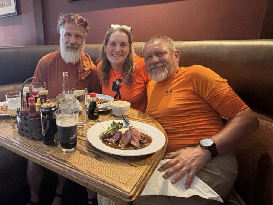
Headed out for dinner about 5:40. Brad, Margarita, and I had a nice goodbye dinner in Bishop. We hope to see Margarita again at some point, but unless she skips over 120 miles of the Sierras then she will be 4 days behind us. Maybe we will catch up in Tahoe!
Day 57 Dinner in Bishop
Walked back to the hotel and watched TV until 9:30. Got a big day getting back on trail tomorrow!
Up at 7:30. Walked across the street for a nice breakfast.
Spent several hours replanning the rest of the Sierras. Once that was done, I knew what resupply to buy for the next 6 days into VVR.
Went to the sporting goods store and bought a new tent. It’s 5 oz heavier than my original tent, and it’s semi-freestanding. Similar to the one I used on the AT.
Stopped at the post office to pick up my small resupply box. Mainly my meds.
Took the bus to the grocery store and resupplied for 6 days. I’m trying to pack less weight for this stretch.
Back to the hotel and repackaged all the food and loaded my Bear can. The Fritos don’t fit in the can, but all else did. Practiced setting up the tent. Uploaded 4 days worth of blogs.
Talked to Pitcrew for a while, then had dinner on the way back into town for Hell Yeah’s birthday bash.
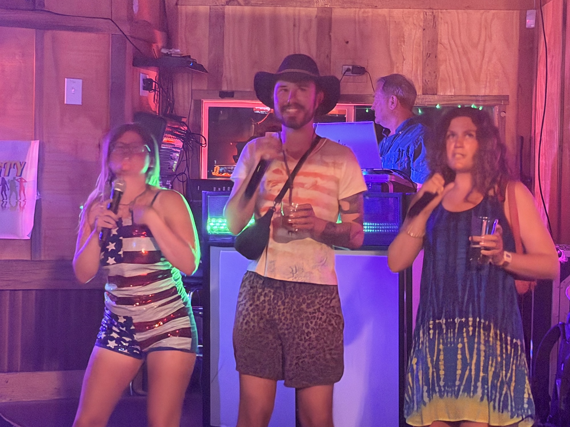
Hung out at a pub from 7:30 until 10:00 for the party and karaoke. Still have a ton of chores to do tomorrow. Will be doing a double zero.
Day 56 Bobbie KaraokeDay 56 Bug Dog KaraokeDay 56 Natalie, Jacob, Bonk KaraokeDay 56 Hell Yeah BirthdayDay 56 Karaoke
Wednesday, June 17. Clear and mid-30s going up to 67.
Up at 5:50. I have to be at the Onion Valley trailhead by 11:00 to meet our shuttle to Independence and then at the bus stop by noon to go to Bishop. Steep 1.2 miles to summit Kearsarge Pass. Then 5.5 miles very downhill to Onion Valley. Brad and Margarita have to add about 4 miles to that including the nasty climb I did yesterday late afternoon. On trail at 6:45.
The ascent up to Kearsarge Pass was steep, but not bad.
Day 55 NOBO Into Kearsarge Pass
Summited Kearsarge Pass at 7:20 and 1.2 miles.
Day 55 Lake Near Kearsarge Pass
There is a cool lake just over the summit on the south side of the pass.
Day 55 Lake Near Kearsarge Pass
The 4.5-mile hike down is easy, but I’m not looking forward to hiking back up it in 2 days to get back on the PCT.
I took a break at 8:30, had a snack, and enjoyed a little cell service. Sent Pitcrew some pictures and sent Brad a status in the shuttle and bus.
Day 55 killing time into Onion Valley
I got my first view of civilization as I neared the bottom coming into Onion Valley campground and trailhead.
Day 55 First Civilization In 7 Days
Got to the parking lot at 9:30. Shuttle arrived at 10:45. Thankfully, we saw Brad and Margarita descending the last part of the mountain. Shuttled down another 5,000 feet into 90-degree desert heat in Independence.
Got the bus loaded with about 25 PCT Hikers at 12:25. A bit of a cluster f@&k.
Day 55 Bus Stop in Independence
Drive an hour to Bishop and got dropped off 1.5 hot miles away from my hotel.
Day 55 Bus Stop in Bishop
We walked to our hotels, after a stop for lunch at the bowling alley. I got to my hotel at 4:00 and had to wait for my room. I got checked in, unpacked, and talked to Pitcrew for an hour. Then I jumped on the Kile family Zoom call for an hour. Finally, I showered and went out for a big celebratory dinner at 7:00.
Tell me I don’t look like a homeless person!
Homeless Me
I have a ton of chores tomorrow, including planning the rest of the Sierras hike!
Tuesday, June 16. Clear and mid-40s going up to 65.
After lunch, we still had a minimum of 7 miles to reach a decent campsite for the night.
I need to mention that Margarita was having bad altitude sickness issues since the ascent of Forrester earlier in the day. This became important as we need to be at our exit point for town tomorrow morning by 11:00, and we still have to get up and over Kearsarge Pass between now and then.
Second water crossing. Brad and I used a log.
Day 54 Second Water Crossing
We hiked down from Forrester most of the afternoon. We descended below the tree line and followed a raging river for several hours.
We reached a campsite by the river around 3:00 and had a conference. Margarita was still feeling badly, and we did not want to leave here alone. But I needed to get in contact with our shuttle driver and make sure he would pick us up at 11:00 so we could catch our bus at noon tomorrow. I also wanted to get to the trailhead early tomorrow in case the shuttle was early. I didn’t want him abandoning us. I decided to push up to the Kearsarge summit, and the others would follow starting early tomorrow. Hopefully, Margarita would be feeling better by then.
I started the ascent to the junction for the side trail to Kearsarge Pass around 3:15. The 2.5-mile ascent to the junction was brutal. Steepest thing we have climbed in days! I made it to the junction at 4:44 and left the PCT for the 7.5-mile journey to the trailhead at Onion Valley.
There was no water on the ascent, and I only had 1/2 a liter. My goal was to hike to a small stream about .7 miles from the Kearsarge summit, get water for dinner, and find a place to camp. I hiked about 2.8 miles through some beautiful scenery in the Kearsarge valley to my water source.
Day 54 View From Kearsarge AscentDay 54 View From Kearsarge Ascent
I passed by Bullfrog Lake and got an amazing view down onto it.
Day 54 View From Camp below Kearsarge Pass
I found a crappy tentsite at 5:45. It took 30 minutes tonight to make my tent work. The zippers in the tent are really bad!
Day 54 Bad Tent
Not a bad view from my campsite though!
Day 54 View From Camp below Kearsarge PassDay 54 View From Camp below Kearsarge Pass
There are several lakes with excellent fishing down in the valley below.
I had a nice dinner with an amazing view. This was the first time that I camped alone on the PCT so far.
Side note. One of my battery banks is not working well. It went from 3/4 to zero in two minutes yesterday. I charged my phone on Brad’s battery earlier today so I have power to contact shuttle and others tomorrow on the descent. I did contact the shuttle driver via satellite device this evening and he confirmed an 11:00 pickup and understands our hard schedule for the bus at noon.
I got up around 10:00 pm and checked out the stars. The Milky Way was a clear ribbon across the sky. We are so remote that there is almost zero light pollution!
Really looking forward to one or two zero days starting tomorrow.
Day 54 Part 1 Map – Tyndall Creek Campsite Over Forrester Pass
Technical Notes:
Protein Shake (10oz): 330 cal, 19g carb, 13.5g fat, 36g protein
Tuesday, June 16. Clear and mid-40s going up to 65.
This is such a big and amazing day. I have to split it into two blog entries. I apologize in advance for all the scenery photos. This was the most amazing day on the PCT, and the only thing from the AT that is close is Mount Katahdin. The photos don’t do justice to the awe-inspiring scenery. In my opinion, this even puts the Tetons to shame.
Keep in mind that the only way to see any of this in person is to hike two days in and then two days out. No tourists, no helicopters, no other way to experience this.
Up at 4:30. We have a big day. Up and over Forrester Pass. This is the highest point on the PCT at 13,200 feet. As previously discussed, we need to get up, over, and down before the sun warms up the snow. Margarita, Brad, and I hit the trail at 5:45.
I put together a largish video of the ascent, summit, and descent of Forrester. Thought I would try this as opposed to embedding lots of small video clips. Consider this video foreshadowing of the rest of this blog entry.
We started the 5.5-mile ascent of Forrester about 6:30. We quickly climbed above the tree line into a land of boulders, snow fields, lakes, and little streams or small rivers of melting snow. The first few miles were a long, gentle grade.
Day 54 Margarita, Orange Man, and Karaoke Starting ForresterWaterfall on Forrester Approach
We had to make our first snow traverse at 7:00 a.m. and 11,600 feet. The snow was still frozen and easy to cross without spikes.
Day 54 First Snow Traverse on Forrester
There are several ponds and lakes on the ascent. A few are still sporting a layer of ice.
Day 54 Frozen Lake on Forrester Approach
The view back to where we hiked this morning just kept getting better and better!
Day 54 Looking Back At Forrester Aporoach
Around 8:15, we crossed a broad snow field and an ice bridge before starting the extremely steep switchback ascent up to the actual pass.
Day 54 Snow Field Before Forrester SwitchbacksDay 54 Orange Man on Snow TraverseDay 54 Crossing a Snow Bridge on Forrester Approach
At 8:30, we finally got a good view of the actual pass. Thank god for switchbacks. The final ascent to the pass is almost vertical. And there is a snow traverse right near the top of the climb.
Day 54 First Clear View Of Forrester PassDay 54 Switchbacks Near Forrester Summit
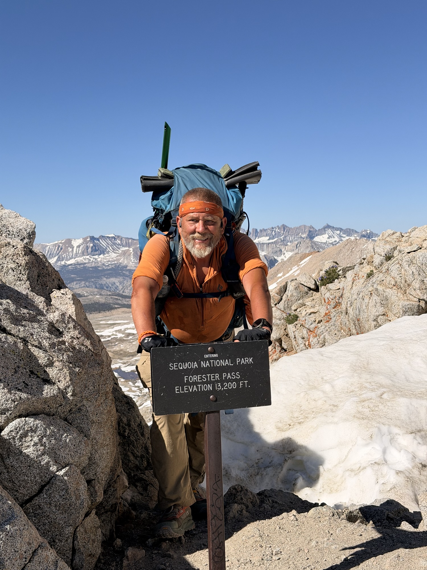
I reached the summit at 9:00. What a rush! The views are spectacular, and the thrill of climbing up here is indescribable. Who cares if there is no oxygen!
Day 54 Orange Man at Forrester SummitDay 54 Orange Man at Forrester SummitDay 54 Tramily at Forrester Summit
The view back south where we came from is great, but the view going north is spectacular.
Day 54 View Back From Forrester SummitDay 54 Looking North From Forrester Summit
Now that we are up here, we have to get down across a large, steep snowfield. Who knows the term “glissade”?
We had a multi-mile hike through wet, slushy snow after the glissade. We wore our spikes. I potholed several times up to my knees and hips. Some slipping and falling as well. The goal is to stay in the old boot tracks and hope they are semi-frozen.
Day 54 Snow Field Traverse Descending from Forrester SummitDay 54 Margarita, Orange Man, Karaoke Descending Forrester
We got out of the big snow field around 10:00. We had more snow to descend through, but nothing like the last hour. Lots of rivers and ponds on this side of the pass from the snow melt too.
Day 64 Orange Man on Forrester DescentDay 54 Ice Pool on Forrester Descent
We took a long lunch break at noon. How about that view for lunch!
Day 54 Lunchtime on Forrester DescentDay 54 Lunchtime on Forrester Descent
And this is a good place to break the blog into two parts!