Tag: 2024

  • Day 48 and 49 – Zero With Dana in Johnson City, TN

    Day 48 and 49 – Zero With Dana in Johnson City, TN

    Today’s Miles: 0

    Trip Miles: 436.8

    We had two nice, quiet days in downtown Johnson City. Lots of bars and restaurants within easy walking distance.

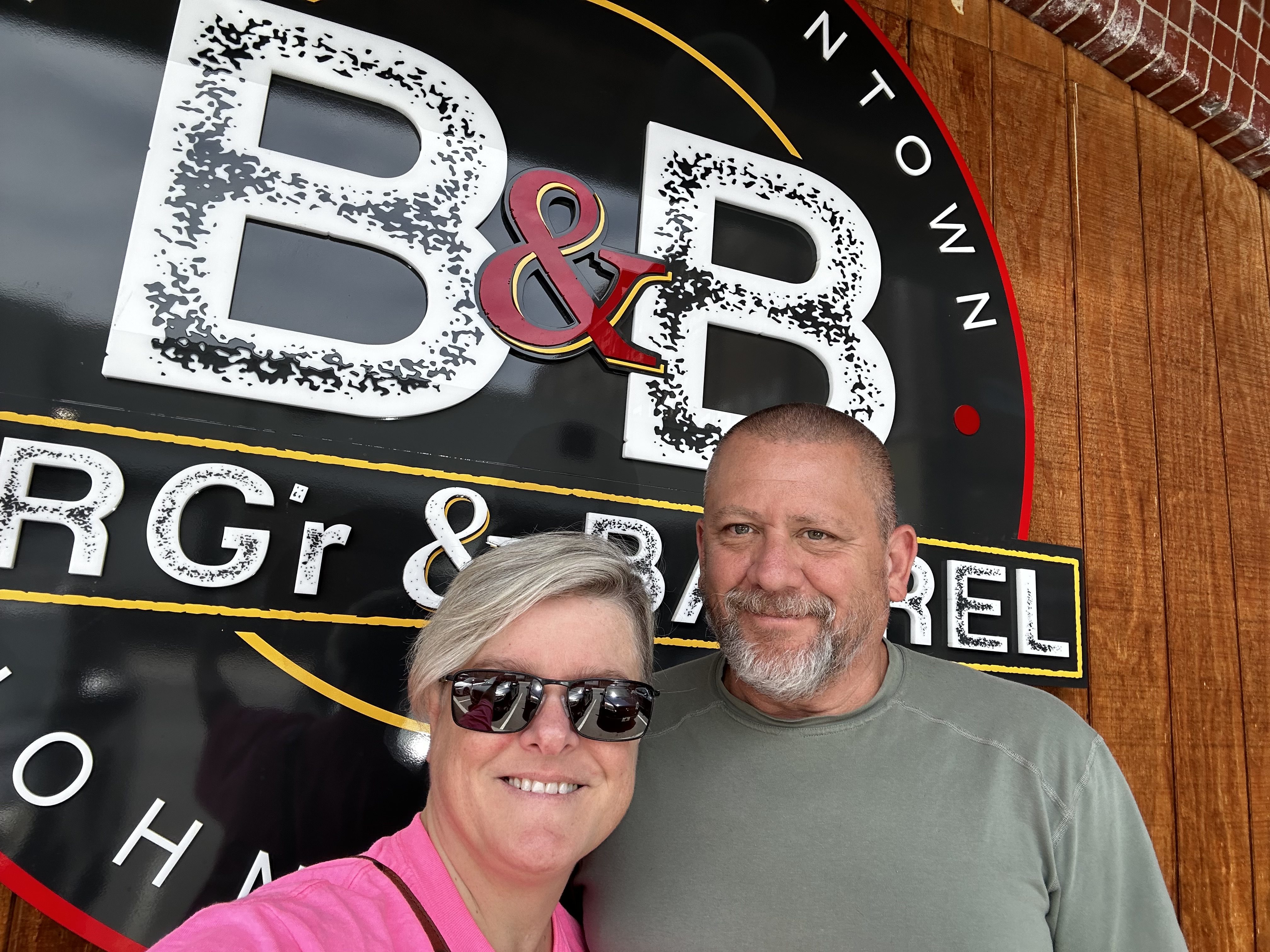
    Pit Crew and Orange Man in Johnson City, TN

    Dana brought me a bunch of gear from home:

    • 40-degree quilt
    • Resupply box
    • Prescriptions
    • New hiking pants from REI. Old ones DONT FIT ME ANYMORE
    • Hiking sandals from REI
    • Orange short-sleeve shirt 
    • Orange bandanna 
    • New trash compactor bag to replace my old one… used as a pack liner 

    I’ll be sending several items home:

    • Long-sleeve shirt
    • Short-sleeve shirt
    • Hiking pants that are too big
    • Rain gloves
    • Thermometer 
    • 10-degree quilt
    • Flip-flops
    • Old bandana

    Went to Walmart and bought permethrin so I can treat all my clothes for ticks and other critters. Sorted through all the resupply and picked for the next 4 days of hiking.

    Permethrining clothes in Johson City, TN

    Did a major replanning of my hike from here through central PA. Need to do big miles and cut down the number of days. See below. Still need to shrink this by several more days.

    Will head back to the trail Sunday morning.

    NightLocationMile MarkerDaily MileageElevation GainNotes
    50 – 06/02Iron Mountain Shelter 444.816.2

    51 – 06/03Abingdon Gap Shelter460.816

    52 – 06/04Damascus VA47110.2

    RESUPPLY
    FOOD X 4.5


    53 – 06/05Lost Mountain Shelter 48716

    54 – 06/06Thomas Knob Shelter 499.412.4

    55 – 06/07Hurricane Mountain Shelter 515.416

    56 – 06/08Partnership Shelter 534.419

    57 – 06/09Sunoco Resupply at Rt 11 – optional Long Neck Lair Alpaca Farm546.111.8

    RESUPPLY
    FOOD X 1.5


    57 – 06/09Tent site552.95.8 – 17.6 total

    58 – 06/10Burke’s Garden Hostel571.517.6

    RESUPPLY
    FOOD X 1.5


    59 – 06/11Suiter Road OR 589.4585.2 / 589.413.7 / 17.9

    60 – 06/12Brushy Mountain Outpost- resupply 592.16.9 / 2.7 

    RESUPPLY
    FOOD X 1.5


    60 – 06/12Jenny Knob Shelter60421.2 / 14.6

    61 – 06/13Wapiti Shelter – alternate for day 61618.514.5

    61 – 06/13Woods Hole Hostle625.821.8

    RESUPPLY
    FOOD X 1


    62 – 06/14Pearisburg VA.    ANGELS REST HIKER’S HAVEN637.318.8 / 11.5

    63 – 06/15Zero in Pearisburg00

    RESUPPLY
    FOOD X 3.5


    Hook up with Hanson in BBurg!
    64 – 06/16Pine Swamp Branch Shelter – camp sites at 650, 651, 653 65719.7

    65 – 06/17War Spur Shelter669.712.7


    VA 601, Rocky Gap – alt pickup for Blacksburg 672.515.5

    66 – 06/18Niday Shelter688.118.4
    BIG vertical climb mid-day

    VA 621 Craig’s Creek Rd – alt pickup or Blacksburg 689.519.8

    67 – 06/19VA 620 Trout creek OR VA 624 – Stay with Eric H.697 / 704.89 / 16.7
    RESUPPLY BOX 8
    Dragon’s Tooth about 2/3 of the way
    RESUPPLY
    FOOD X 1.5


    68 – 06/20Catabwa Mtn Shelter / 712.815.8 / 8

    69 – 06/21Daleville – Super 8 Motel730.617.8
    McAfee Knob 714.2
    RESUPPLY
    FOOD X 3.5


    70 – 06/22Bobblets Gap Shelter748.918.9

    71 – 06/23Bryant Ridge Shelter762.613.7

    72 – 06/24Thunder Hill Shelter772.810.2
    Big vertical day
    73 – 06/25Glasgow VA – Glasgow Shelter787.614.8
    RESUPPLY BOX 9
    All downhill day
    RESUPPLY
    FOOD X 5.5


    74 – 06/26Punchbowl Shelter 798.110.5
    Big vertical day
    75 – 06/27Cow Camp Gap Shelter813.215.1

    76 – 06/28Priest Shelter 83016.8

    77 – 06/29Maupin Field Shelter843.813.8

    78 – 06/30Paul Wolfe Shelter859.816

    79 – 07/01Waynesboro – Rockfish Gap – Hotel
    Quality Inn
    864.65

    RESUPPLY – NERO
    FOOD X 1.5


    RESUPPLY BOX 10 
    80 – 07/02Blackrock Hut88521.4

    RESUPPLY
    FOOD X 1.5
    lunch at Loft Mountain Camp Store892.4


    81 – 07/03Pinefield Hut898.213.2

    82 – 07/04Lewis Mtn Campground91819.8

    RESUPPLY
    FOOD X 1


    83 – 07/05Big Meadows Wayside lunch926.28.2

    RESUPPLY – NERO
    FOOD X 2


    83 – 07/05Rock Spring Hut930.64.2 – total 12.6

    84 – 07/06Pass Mountain Hut945.915.3

    85 – 07/07 RESUPPLY – lunch
    FOOD X 1.5
    Elkwallow Wayside9537.1

    85 – 07/07Gravel Springs Hut9596 – total 13.1

    86 – 07/08US Rt 522- Front Royal 972.113.5


    Shuttle into Front Royal. Meet Dana for a night.
    RESUPPLY – Nero
    FOOD X 2.5


    RESUPPLY BOX 11
    87 – 07/09Whiskey Hollow Shelter987.615.5

    88 – 07/10Sam Moore Shelter or Bear’s Den1002.9 / 1005.515.3 / 17.9

    89 – 07/11David Lesser Shelter1016.813.9
    Try skip this and push on to Harpers Ferry. 
    90 – 07/12Harper’s Ferry1026.19.7

    91 – 07/13 – RESUPPLY – ZERO
    FOOD X 3
    Harper’s Ferry00
    RESUPPLY BOX 12
    Meet up with Dana.
    92 – 07/14Dhalgren Capground1043.917.8

    93 – 07/15Raven Rock Shelter1061.718.8

    94 – 07/16Tumbling Run Shelter1075.914.2
    RESUPPLY BOX 13
    RESUPPLY
    FOOD X 2


    Dana shuttle service to Waynesboro


    95 – 07/17Quarry Gap Shelter OR Birch Run Shelter at 1095.51087.812

    96 – 07/18Pine Grove Furnace – Hostel1105.117.3

    RESUPPLY
    FOOD X 2.5


    97 – 07/19Green Mtn Store – Resupply and Lunch1113.97.8

    97 – 07/19Alec Kennedy Shelter1120.77.1 – total 15.6

    98 – 07/20Boiling Springs – LUNCH1124.33.6

    98 – 07/20Darlington Shelter1138.617.9

    99 – 07/21Duncannon1149.511.1

    RESUPPLY
    ZERO Maybe
    FOOD X 3.5


    RESUPPLY BOX 14
    XXXXXXXXXXX


    Technical Notes:

    • Nope…not today.
    • Water liters: 0
    • Miles: 
    • Time: 0
    • Elevation gain: 0
    • Calories consumed: a lot
    • Calories burned: a little
  • Day 47 – Boots Off Hostel to Johnson City, TN

    Day 47 – Boots Off Hostel to Johnson City, TN

    Today’s Miles: 0

    Trip Miles: 436.8

    “We met at a truck stop in

    Johnson City, Tennessee.

    I was gassing up my Firebird

    when I heard her calling me.

    Said, “Which way are you headed, boy?

    Do you need some company?” “ – Travis Tritt

    Up at 8:30. I reached out to the  condo owner in Johnson City, and they are good with early check-in! I picked up my supply box at the office, and they can shuttle me to Johnson City at 1:30. I can just hang out after checkout until it is time for the shuttle to leave. This is going to work out perfectly! I texted Dana the new plan.

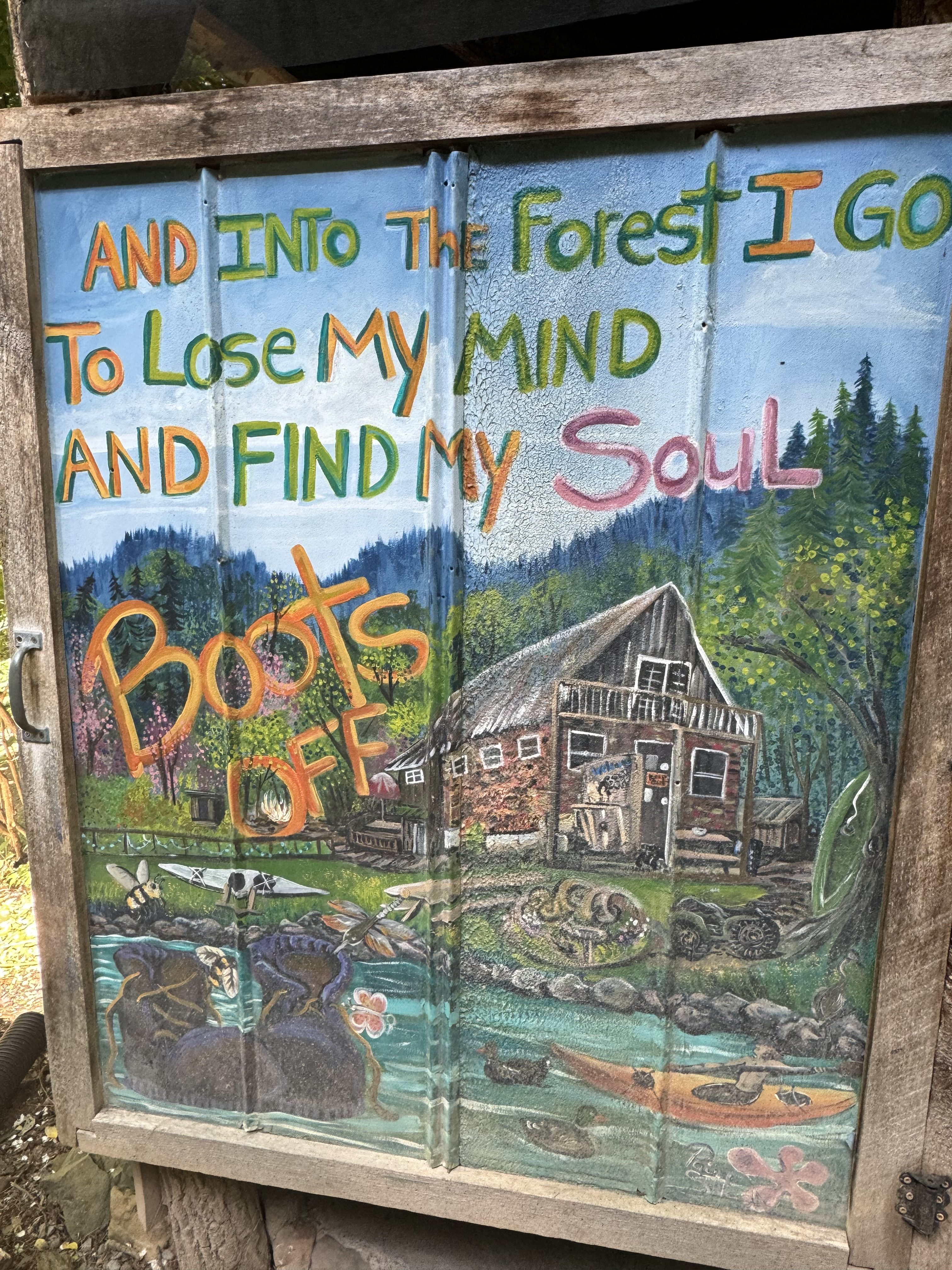
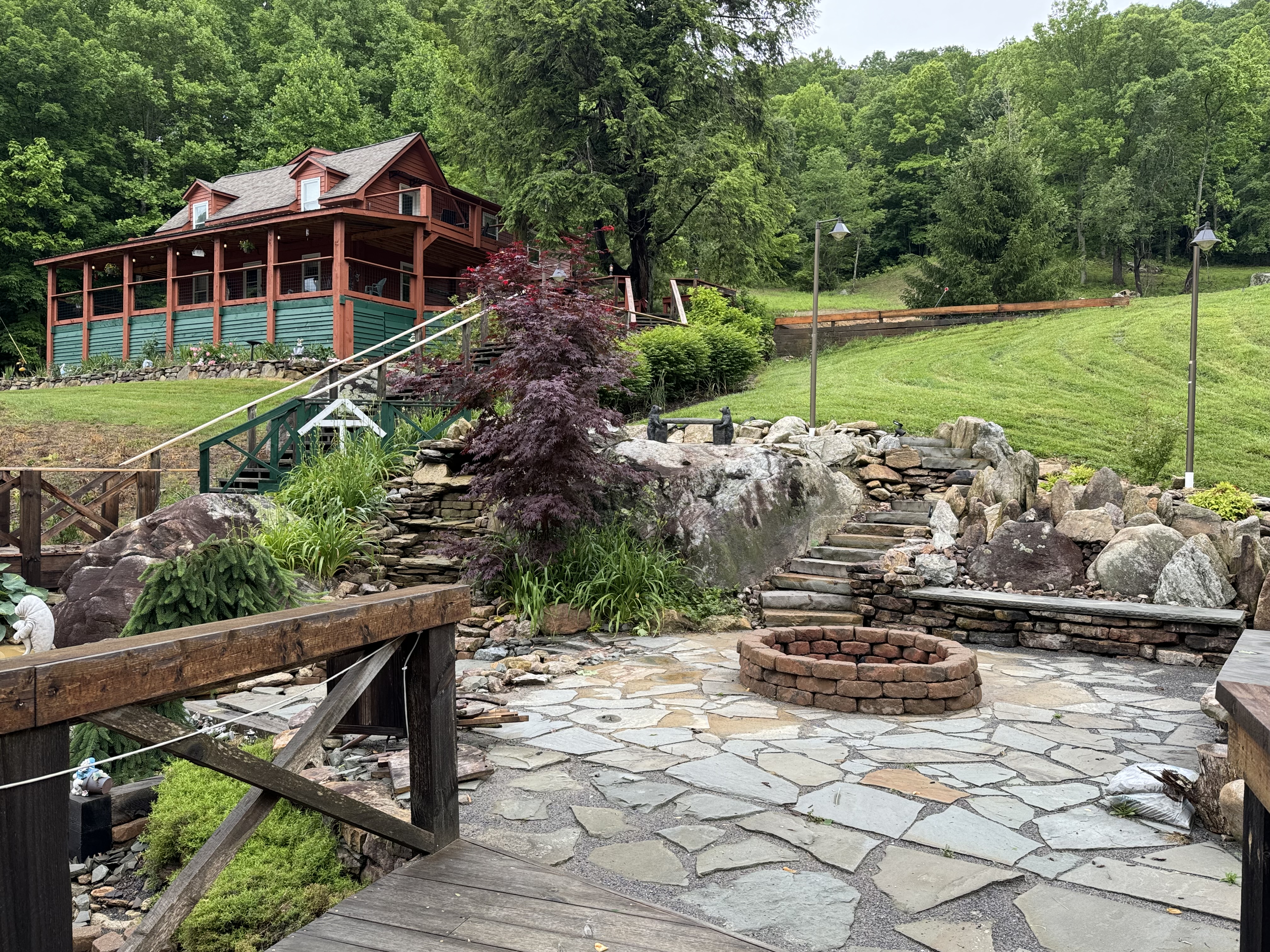
    Boots Off Hostel

    Tweaked recent blogs and uploaded all my videos to YouTube. I’ll do the actual blog postings over the next few days off in Johnson City.

    Just Jim shuttled me from Boots Off (he works there) to JC, arriving at 1:50. Nice apartment and great area! I unpacked, cleaned gear, did laundry, showered (YEY), and did some light grocery shopping. Dana arrived about 4:30. It should be a nice few days off trail with Dana.

    Technical Notes:

    • Nope…not today.
    • Water liters: 0
    • Miles: 0 
    • Time: 0
    • Elevation gain: 0
    • Calories consumed: a lot
    • Calories burned: a little
  • Day 46 – Moreland Gap Shelter to Boots Off Hostel

    Day 46 – Moreland Gap Shelter to Boots Off Hostel

    Today’s Miles: 14.8

    Trip Miles: 436.8

    “I’ve been drivin’ all night, my hands wet on the wheel.

    There’s a voice in my head that drives my heel.

    It’s my baby callin’, says, “I need you here.”

    And it’s a-half-past four and I’m shifting gear.

    When she is lonely and the longing gets too much,

    She sends a cable coming in from above.

    Don’t need no phone at all.

    We’ve got a thing and that’s a-called radar love.

    We’ve got a wave in the air.

    Radar love” – Golden Earring

    Up at 7:00, out at 8:00. Perfect weather today.

    Just making mikes so far today. Not much scenery of interest.

    Heard from Mike. He made it to Marion, VA after a bout of Noro in Damascus. Bummer on the Noro.

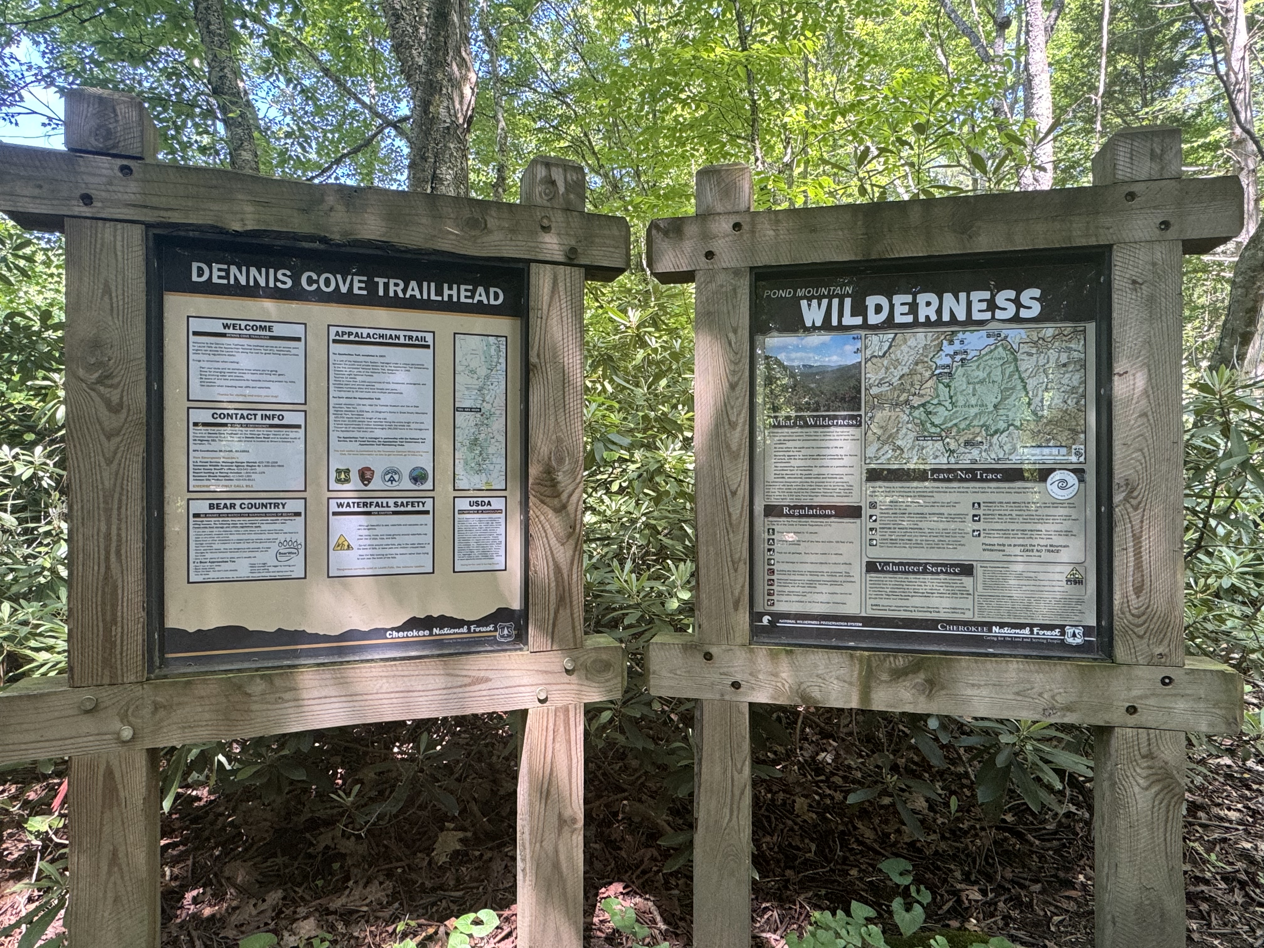
    Took two pictures of Overkill crossing the bridge into Dennis Cove area.

    Overkill crossing into Dennis Cove
    Bridge into Dennis Cove

    The trail dips very steeply several hundred feet to Laurel Fork Falls.

    Laurel Fork Falls
    Orange Man at Laurel Fork Falls

    YouTube video of Laurel Fork Falls.

    The trail then follows the river, including the climb back up, for a couple of miles.

    Bridge out of Laurel Fork Falls area

    YouTube video of the walk along the river.

    It’s 1:45 and time for the nasty 2.8-mile steep climb near the end of our day. I lost count of switchbacks going up after 25. This thing looked intimidating on the map and it was in person too. 

    Very tough climb out of Laurel Fork Falls

    Summitted this damn mountain at 3:50 and hauled ass 2.8 miles to Boots Off Hostel to make sure to catch their 6:00 shuttle to town. Really nice hostel. I got the blue tiny cottage. Made it to hostel at 5:15.

    Private cabin at Boots Off Hostel
    Interior of private cabin at Boots Off Hostel

    Shuttled into town to pick up a subway and some snacks for tonight. I have to pick up a supply box at the hostel office later. Got back to the hostel, ate, and chatted with Overkill for a bit while she planned out her food for the next 3 days. I’m getting off trail tomorrow with 4.6 miles to hike and then taking a double zero with Dana. 

    Overkill and I guesstimate that I should catch back up with her in about 2-3 weeks. That puts us near the VA triple crown not far north of Blacksburg, VA. I hope we pair up again on trail. We have similar personalities (both introverts a bit) and very similar and complimentary hiking styles and speeds. She wants to submit Kathadin on 09/29 for her anniversary and I want to summit on 09/30 for my birthday. Odds are we pair up north of Shenandoah worst case.

    Videoed with Dana to go over my list of things I need her to bring plus logistics for tomorrow. Can’t wait for the next few days with my woman:)

    Day 46 Map – Moreland Gap Shelter to Boots Off Hostel

    Technical Notes:

    • Pop-Tarts 370
    • Trail mix 170
    • Little Debbie 200
    • Trail mix 170
    • Snickers 250
    • RX Bar 210
    • Trail mix 270
    • Subway 1050
    • Truly 600
    • Pringles 900
    • Water liters 6
    • Miles 14.5
    • Time 9:00
    • Elevation gain 3000
    • Calories consumed 4400
    • Calories burned a little 6500
  • Day 45 – Mountain Harbour to Moreland Gap Shelter

    Day 45 – Mountain Harbour to Moreland Gap Shelter

    Today’s Miles: 0

    Trip Miles: 403.6

    “Inflatable pool full of dad’s hot air

    I was three years old splashin’ everywhere

    And so began my love affair with water

    On a river bank with all my friends

    A big old rope tied to a limb

    And you’re a big old wuss

    If you don’t jump in the water” – Brad Paisley 

    Up at 6:30. Overkill and I were out at 7:30. Got a long 18.4-miler today. Weather looks great. Sunny, low humidity, breezy, low 70s.

    That is what we came down in the thunderstorm on Sunday. Nice view back at it this morning.

    Looking back at Hump Mountain
    Looking back at Hump Mountain

    Summitted first mountain of the day at 9:10. That was harder than expected due to mud and a rutted logging road.

    Stopped near a cemetery 3 miles into the day for a break and a snack. 15.5 more miles to go.

    Hit the 400-mile mark dead on 10:00.

    400 mile marker

    Took a side trail to Jones Falls at 5.4 miles at 10:30. Very nice! The cool breeze and spray off the falls is refreshing.

    Jones Falls

    YouTube video of Jones Falls.

    Stopped at 11:45 for water refill and lunch. 1.6 miles uphill to next shelter and a break. 

    Stopped at second of 3 waterfalls at 12:45, Mountaineer Falls.

    Mountaineer Falls

    Stopped near Mountaineer Shelter for a break and water. We have 9.6 miles to go.  Back on trail at 1:15.

    Stopped at 12.1 miles for a snack and to look at Hump Mountain (straight ahead) and Little Hump Mountain (to the right) YET AGAIN! We are circling these guys today. Very done with those things.

    Hump Mountain (straight ahead) and Little Hump Mountain (to the right) YET AGAIN

    Stopped at 4:45 for one last snack and water refill at Hardcore Cascades. 3.1 more miles UP to go.

    Hardcore Cascades

    Made Moreland Gap Shelter at  6:45. Overkill and I did 18.8 total miles in 11:45. We had a .4 mile road walk to get to the trail. That is a record distance for both of us. Not a bad time, but we both hurt!

    Moreland Gap Shelter

    Set up my tent and had dinner around 7:30. Overkill is sleeping in the shelter. In bed at 9:00 p.m. Plan to sleep in and head out at 8:00 tomorrow.

    Day 45 Map – Mountain Harbour to Moreland Gap Shelter

    Technical Notes:

    • Pop-Tarts 370
    • Snickers 250
    • Trail mix 170
    • Snickers 250
    • Trail mix 270
    • Tuna packets 140
    • Ramen 740
    • Water liters 6
    • Miles 18.8
    • Time 11:45
    • Elevation gain 4300
    • Calories consumed 2400
    • Calories burned a little 7000
  • Day 44 – Zero at Mountain Harbour near Roan, TN

    Day 44 – Zero at Mountain Harbour near Roan, TN

    Today’s Miles: 18.4

    Trip Miles: 422

    Hostess: “Day off?”

    John Wayne: “ Off Day” – McLintock

    Woke up at 4:00 a.m. to pouring rain and thunder. Back to sleep. Woke up at 7:00 to steady rain. Forgot to mention that I’m in a loft room right under a tin roof with little to no insulation. 

    Mountain Harbour Hostel

    Very perplexed on what to do today. Many others are also unsure. That was a LOT of rain yesterday, last night, and right now. The forecast shows big thunderstorms headed our way until 1:00 today and then it gets decent in the early afternoon. But…the creeks are very swollen and the trails we can see from the hostel are still flooded. I am supposed to be at Boots Off Hostel for the night day after tomorrow. Then hike another 1.5 days to meet Dana on Thursday late afternoon.

    It’s cold, rainy, my knee hurts on both front and back sides, and it’s 8.8 miles to the next shelter with half of that uphill right out of the gate. Damn Velcro on the knee brace tore me up good.

    Ouch..underside of knee

    They are famous here for their breakfast which I bought along with my room. Ate a massive feast at 8:00 a.m. Then wished Dana happy birthday:)

    Mountain Harbour…best breakfast on the AT

    Checkout is at 10:00 and the store opens at 9:00. Went to the store to get supplies for the next two days and the staff person working the register mentioned that my room is not sold tonight….yet. Side note, there were about 12 tents set up last night and the bunk room was full. Most of the tent people are wet this morning. 

    Screw it…I decided to grab the room for tonight and not deal with the rain and mud today. I’ll replan my get together with Dana, do chores, update blogs, and head out tomorrow early. The rest of the week looks like perfect weather. Those people who did decide to hike today mostly ventured out about noon and they are all headed to that same shelter 8.8 miles away. Gonna be crowded and muddy.

    I was able to move my reservation at Boots Off Hostel from tomorrow to Wednesday. It’s a bit over 32 miles, but that was my plan all along. I’ll break it into 2 parts, obviously. Exactly how is a game-time call, recognizing there is a big mountain to go up and down the last 5 miles right before Boots Off. Also, Overkill will be on the same schedule as she has a reservation there Wednesday night as well.

    Spent a lot of time today trying to figure out where to stay for 3 nights next weekend with Dana. My original plan was Abingdon, VA, but the places I liked are all booked, and I will still be a few days south in TN due to weather and other delays. I eventually decided on a loft Air B&B in downtown Johnson City, TN. It’s in the heart of the restaurant / bar district and easy walking distance to lots of stuff. Dana and I both like Johnson City. I’ll hike about 6.5 hours on Thursday, and Dana will drive about 6.5 hours to pick me up. I guess that’s a fair trade?

    Spent time figuring out how to pad/protect the back of my knee from my brace. Don’t have much to work with, but I rigged up something that should help. Also worked on how to pack my backpack a little differently to try to help my back issues. Basically, putting my fleece in the dry bag with my quilt and uncompressing them to better fill the width of the bottom of my pack. The quilt used to be highly compressed in a dry bag down there, and it was not using the entire width of the pack. Long story short, that and a few other changes are intended to build up a better lumbar support and to push more weight down to the middle of my back. It’s a good theory. We will see how it works tomorrow.

    I got my blogs all updated and will try to upload them tonight. The internet service is bad here, particularly for video uploads. Also, have things all packed as best I can to make a quick departure in the morning. Want to be out by 7:30 a.m.

    Had a very nice smoked Ruben and tater tots at the bar for dinner. Chatted with Overkill for about an hour. Probably gonna be in bed around 9:30. Overkill also plans to be on trail early and shoot for the shelter at 18.4 miles tomorrow. The worst part SHOULD be the first 3 miles. Be nice to knock that out before the humidity builds up. Curious how bad the mud will be. Bonus, we have two waterfalls on the agenda for tomorrow!

    Technical Notes:

    • Nope…not today
    • Water liters 0
    • Miles 0 
    • Time 0
    • Elevation gain 0
    • Calories consumed a lot
    • Calories burned a little
  • Day 43 – Ash Gap to Mountain Harbour Roan, TN

    Day 43 – Ash Gap to Mountain Harbour Roan, TN

    Today’s Miles: 18.2

    Trip Miles: 403.6

    “Here comes the rain again

    Falling on my head like a memory

    Falling on my head like a new emotion

    I want to walk in the open wind

    I want to talk like lovers do

    Want to dive into your ocean

    Is it raining with you?” – Eurythmics 

    Patchy fog before 7 a.m., then a chance of showers and thunderstorms. Mostly sunny, with a high near 72. Southwest wind 0 to 5 mph. Chance of precipitation is 50%. New rainfall amounts between a tenth and quarter of an inch possible.

    I have left myself a long hike today. 18.2 miles to make it to Mountain Harbour B&B. And I don’t want to get there late. At least the last 5.4 miles are very downhill. At 2 miles per hour that’s about 9.5 hours…probably 10 hours. I need to get up and moving early. I want to be in by 5:00. That means I need to be out of camp by 7-7:30. We will see what happens. 

    Up with alarm at 6:30. Clear cool morning and no rain last night. On trail at 7:40. Only have a bit under .7 liters of water. Big 2-mile climb up followed by 1.3 miles down to water and a bathroom.

    Made it to Carver’s Gap at 9:30. Making good time. Lots of civilians here today.

    Welcome to Carvers Gap

    Got to see/use my first toilet in 3 days. Isn’t it beautiful!

    Lovely privy at Carvers Gap

    Filled up water and got back on trail at 10:00.

    I have 5 balds to cross this afternoon. Summitted Round Bald at 10:30.

    Chuck on Round Bald

    YouTube Video on Round Bald.

    Summited Jane Bald at 10:45.

    Summit of Jane Bald
    View from Jane Bald

    Took a break and called Dana. Back on trail at 11:00.

    Summited Little Hump Mountain at 2:10. Great views.

    Rest stop on Little Hump Mountain

    I took my shirt off to dry in the breeze and took my shoes off to stretch my feet. It’s very peaceful up here on this bald summit. Could take a nap…but miles to go before I sleep. 7.5 miles to be exact.

    YouTube video on Little Hump Mountain.

    Unfortunately, I still have to climb Hump Mountain.:( I really don’t want to climb that thing today. The photo does not do the climb justice.

    The trail ascending Hump Mountain

    Summited Hump Mountain at 4:00. I have 5.4 miles to go. That was not fun! This thing is a LOT steeper than it looks. And there are storms on the horizon right where I am headed.

    Tough ascent up Hump Mountain
    Finally reached summit of Hump Mountain

    Long story short, the next 5.4 miles down to Route 19E SUCKED. I am racing to beat the rain, and it’s a losing battle. The first mile is a rutted grass track, then it turns to nasty rocks that are hard to make good time on and are ankle killers. I passed a lot of Memorial Day weekend hikers in their tent sites. I’m flying past them as the thunder and lightning are starting. I stopped with 3.1 miles to go to catch my breath and ran into Overkill. I thought I would catch up with her sometime today. She is going to the same hostel and has the same weather concerns. She camped 2 miles ahead of me last night at Roan High Knob. We took off at a fast pace to try to beat the rain.

    I ran into this guy with about 2.4 miles to go. He startled me just a bit

    Surprise Snake

    And with 2.1 miles to go, the sky opened up. Lots of thunder and lightning. The trail is still a rocky mess, now slippery and turning into a fast-moving stream. I put up my umbrella and made tracks as fast as I could. Those 2.1 miles took almost 90 minutes in this slop. I left Overkill behind at her request. I walked through calf-deep water and muck the last 1.5 miles. So much for clean new shoes and socks! I got to the road at Route 19E about 6:20. Once I figured out directions to the hostel, I walked down the highway in the lovely rain for .4 miles and finally arrived.

    I got checked in, unpacked all my wet gear, stripped out of my wet clothes, pulled on my fleece and my thermal bottoms, which were the only dry things I had left. I had a shirt and bandanna hanging on the back of my pack to dry in the sun today, but that plan went to hell about 2.5 miles back. Overkill arrived right about this time.

    Both washing machines are in use. And the kitchen and the store closed at 6:00 as it’s Sunday. There is no Honor fridge or snacks. Lovely. At least the bar is open for another hour. I had 3 Angry Orchards and 2 bags of bar potato chips. Fortunately, since I shaved a day off this section, I have one Knorr rice dish and a tuna packet. That will be my dinner. Finally got a washing machine around 8:00. Got clothes washed and dried while I ate. Very, very exhausted. Finally finished laundry about 9:15. Got all my gear drying as best it can. Washed my shoes and put them next to a fan to dry. Talked to Dana briefly, but I am falling asleep sitting up.

    OMG…today was hard and sucked big time the last 2 hours! Torrential rain, lightning, ankle-deep mud, slippery as hell, and I had not properly planned for how steep the climbs would be. All that on an 18.2-mile day was a stone-cold bitch. I hurt, I’m wet, the hostel is highly mediocre with no food , and I could rant more. And it’s gonna rain on me tomorrow, so I am NOT doing another 18.4-miler as originally planned. 

    Day 43 Map – Ash Gap to Mountain Harbour Roan, TN

    Technical Notes:

    • Mini chocolate donuts 500
    • Trail mix 170
    • Snickers 250
    • Trail mix 170
    • Tuna packet 70
    • Knorr chicken rice 585
    • Guinness draft 120
    • Angry Orchard x 3 720
    • Fritos 250
    • Water liters 6
    • Miles 18.2
    • Time 11
    • Elevation gain 3477
    • Elevation descent 5908
    • Calories consumed 3000
    • Calories burned 7000
  • Day 42 – Cherry Gap Shelter to Ash Gap

    Day 42 – Cherry Gap Shelter to Ash Gap

    Today’s Miles: 15.7

    Trip Miles: 385.4

    “When you see a guy reach for stars in the sky,

    You can bet that he’s doing it for some doll.

    When you spot a John waiting out in the rain,

    Chances are he’s insane, as only a John can be for a Jane.

    When you meet a gent paying all kinds of rent

    For a flat that could flatten the Taj Mahal,

    Call it sad, call it funny, but it’s better than even money,

    That’s the guy’s only doing it for some doll. “ – Guys and Dolls

    Up at 7:10. Got my food from my bear hang and started to eat breakfast in my tent. Rain started just after I got back in my tent. Rained for about 10 minutes. Sun is trying to peek through. Chilled in the tent for half an hour waiting for the sun. 

    Out of camp at 8:40. Stopped briefly at a nice overlook. 

    Day 42 view

    Stopped at 3 miles where the trail crosses TN Route 107 and NC Route 226 for a quick snack.

    Lots of bear activity in the area. Lots of talk about food being taken from shelters in the last week. Part of the reason I’m pushing miles to not have to camp around here. 

    Bear Activity

    Stopped for water and talked to Dana at 11:15.  She liked the fruit basket I sent her for her birthday. Made a reservation for tomorrow night at Mountain Harbor B&B. Should get in around 5:00 tomorrow. 

    Stopped at Clyde Smith Shelter at 2:00 to rest and readjust my brace. It’s eating into the underside of my knee. Ugh. Added a bandage and some more cloth to protect the spot where it’s chewing into the back of my knee. Should get me the next 6.6 miles to camp. 

    I have 6.6 miles to go to Ash Camp. The last 2.7 are very uphill. Hopefully, I’ll be there by 6:30 at the latest.

    Made a quick stop at an overlook around 3:15.

    View near Roan Mountain

    Stopped for water. Not the best water sources this afternoon. That’s one impressive little leaf. This is the only good water in a large distance! Filled 1.7 liters from that little guy.

    Amazing little leaf

    Got 4.2 uphill miles yet. Steep uphill. Will be in about 6:15….I think. 

    Stopped at the last road crossing of the day, and a nice lady gave me a large BodyArmor beverage. I love those things. Great timing as I start the big climb to camp next. 

    Mileage sign near Roan High Knob

    Stopped at a nice view about 1/2 a mile from camp.

    View near Ash Camp

    Made it to Ash Gap at 6:20. I should go 2 more miles to Roan High Knob Shelter, but I’m beat. Hopefully, I won’t regret this decision tomorrow. Set up a clothesline and hung up sweaty clothes to dry a bit. Got tent set up, changed into camp clothes, and spent 35 minutes fighting to get a good bear hang. Compromised on a mediocre bear hang. Oh well:(

    YouTube Video of camp at Ash Gap.

    Made dinner at 7:30. Surprisingly, I have a bar of cell so texted a little with Dana. She and a large group are going to Kenny Chesney tonight.

    Dan a and the gang going to Kenny Chesney

    I’m at 5340 feet. It’s getting chilly, and the sun isn’t even down yet. Climbed into bed at 8:30. Caught up on some blogging and worked on plans for the next few days.

    Booked a room at Boots Off Hostel for Tuesday, May 28. I have a supply box going there.

    Planned out my next 5 days. On Thursday, May 30, Dana will drive to Abingdon, VA , then another 35 minutes southeast on US 421 to Low Gap, TN. Then we will drive back to Abingdon. Not what I hoped for, but I’m behind schedule, and everything from Low Gap north has no road access for 2 days. We will double zero in Abingdon. Can’t wait!

    I’m not sure what to think about today and yesterday. No rain both days, so that was good. Not much in the way of views, and the green tunnel is starting to live up to its name. My focus these last two days, as well as tomorrow, is making miles, nothing more. I need to cut 1-2 days off my schedule between yesterday and next Thursday in order to meet Dana in a good location. Looks like I have cut 1 day, assuming I actually survive my 18.2-mile day tomorrow. Basically, these 3 days are more work than enjoyment, particularly with these elevation gains. I hadn’t planned on doing miles this big until the terrain levels out in Virginia. The things we do for love 🙂

    Side note, I really hope I don’t have any bear issues tonight.

    Day 42 Map – Cherry Gap Shelter to Ash Gap

    Technical Notes:

    • Mini chocolate donuts: 600
    • Trail mix: 270
    • Trail mix: 170
    • Snickers: 250
    • Snickers: 250
    • Dehydrated chicken: 170
    • Ramen: 540
    • Fritos: 400
    • Water liters: 5.4
    • Miles: 15.7
    • Time: 9:40
    • Elevation gain: 4300
    • Calories consumed: 2900
    • Calories burned: 5500
  • Day 41 – Erwin, TN to Cherry Gap Shelter 

    Day 41 – Erwin, TN to Cherry Gap Shelter 

    Today’s Miles: 17.2

    Trip Miles: 369.7

    It’s not a dress, it’s a kilt.

    Patchy fog and a slight chance of rain showers before 11 a.m., then a slight chance of showers and thunderstorms. Partly sunny, with a high near 72. Northwest wind around 5 mph. Chance of precipitation is 20%. New rainfall amounts less than a tenth of an inch possible.

    Up at 8:00. Packed, ate, used the bath house, and hit the trail at 9:15. Cloudy at present, but I’m hoping it clears up today. I have a hard first 5-mile climb out of Erwin. I would like to make 15 miles today. 

    Crap. I lost my rain kilt. I just ordered a new one online, and Dana will bring it to me next week. I borrowed a trash bag from the hostel. I will try to make a substitute with that.:(

    As I was texting Dana about the kilt, Amy from Nature’s Inn Hostel walked by and said hi. She was picking up a slackpacker. When she walked back to her car, I saw she had our slackpacks from Wednesday. I wonder….sure enough, my kilt was still in that pack from Wednesday! I thanked Amy profusely!!! 

    Crossed my first railroad tracks leaving Erwin. Many more to come.

    First railroad tracks

    Hard climb the last 1.5 miles out of Erwin. Grade is 624 ft/mile!

    Hard climb out of Erwin, TN

    Made it to Maple Gap Shelter at 11:25. Took a 15-minute break for water and a snack. Very humid after all the rain the past 2 days. Nice shelter.

    Maple Gap Shelter

    Made Indian Grave Gap at 1:35. Took a 30-minute break and had a snack.

    Middle back hurts….again. I can’t figure out why my pack is hurting my back so much lately. It’s a daily thing. Very frustrating! 

    Made it to Beauty Spot at 3:40. Stopped to top off water and have a snack.

    Chuck at Beauty Spot

    YouTube video at Beauty Spot.

    I have either 2.5 miles or 6.2 miles to go. I’ll decide once I reach the first potential campsite in a bit over an hour. 

    Ugh. It might only be 1.5 miles, but 729 feet per mile grade. Give me a break!

    Steep climb to Cherry Gap

    Summitted at 5:50. I’m pushing on to the shelter another 4 miles.

    Made it to Cherry Gap Shelter ay 7:30. Set up tent, ate, made my bear hang, and in bed at 9:00. Garmined with Dana and updated blog for today.

    That was a long, hard climbing day! Hope to do a lot more of these long days going forward. Knee feels good. The brace helped a lot.

    Day 41 Map – Erwin, TN to Cherry Gap Shelter

    Technical Notes:

    • Mini chocolate donuts: 560
    • Tea: 0
    • OJ: 170
    • Snickers: 250
    • Trail mix: 340
    • Snickers: 250
    • Tuna: 80
    • Ramen: 540
    • Little Debbie: 200
    • Water liters: 5
    • Miles: 17.3
    • Time: 9:38
    • Elevation gain: 5135
    • Calories consumed: 2500
    • Calories burned: 6500

    Follow me in near real-time here: https://share.garmin.com/CharlesStump

  • Day 40 – Zero Day in Erwin, TN

    Day 40 – Zero Day in Erwin, TN

    Today’s Miles: 0

    Trip Miles: 352.5

    Up at 8:00. Rained and thunderstormed massively last night. Spent the morning doing chores: laundry, duct-taped handle on CNOC, cleaned my pack, sorted resupply box, replaced my worn-out gloves with new ones Dana sent me.

    I spent the afternoon working on blog updates and planning out my next few resupplies. 

    I heard from Mike. He got to Damascus. He aqua-blazed Lake Watauga. Cool.

    Shuttled into town and bought a knee brace and got dinner at Taco Bell. 

    Bought a new heavy knee brace at Walgreens. Made a sleeve to go under the brace out of a pair of super stretchy yoga pants I found in the hiker box. It will do.

    My new knee brace in Erwin

    Got to sleep around midnight. Miles to go tomorrow.

    Technical Notes:

    • Not counting on zero days
    • Water liters: 0
    • Miles: 0
    • Time: 0
    • Elevation gain: 0
    • Calories consumed: 0
    • Calories burned: 0
  • Day 39 – Spivey Gap to Erwin, TN

    Day 39 – Spivey Gap to Erwin, TN

    Today’s Miles: 11.1

    Trip Miles: 352.5

    “God damn, well I declare, have you seen the like?
    Their walls are built of cannon balls
    Their motto is “don’t” tread on me”

    Come hear Uncle John’s Band, playing to the tide
    Come with me or go alone
    He’s come to take his children home” – The Grateful Dead

    A slight chance of rain showers after 5 p.m. Partly sunny. High near 81, with temperatures falling to around 78 in the afternoon. South wind 0 to 5 mph. Chance of precipitation is 20%. New rainfall amounts less than a tenth of an inch possible.

    Up at 7:15. Got both my slackpack and big pack packed up. Went to the common room for breakfast and checked out of the hostel. Had 2 cups of coffee….woohoo! Headed out on shuttle at 8:30. 

    Overkill and I got dropped off by Amy at Spivey Gap at 9:00.

    Amy from Nature’s Inn next to Overkill

    Amy took a picture of me and Overkill before saying goodbye. Overkill is the one on the left.

    Overkill and Orane Man at Spivey Gap

    Just 11.1 mostly downhill miles to Erwin with a 1-mile climb at the very start. Should be an easy day.

    The things you run into on the trail.

    Ferris Wheel in a tree … why?
    Ferris Wheel in a tree … creepy

    We stopped at 11:30 for a snack and water at No Business Shelter. Making a solid 2 mph.

    No Business Shelter

    Ran into the two older guys and their dog who are slackpacking. This is the 6th day in a row I have run into them. They are basing out of Laughing Heart in Hot Springs. Very cool.

    Back on the trail at 12:20. Just shy of halfway for the day.

    The view down on the river and rail bridge in Erwin reminds me a lot of Harpers Ferry.

    Chuck overlooking Erwin TN valley

    Took a nice video of the valley and the town from one mile out.

    YouTube video of Erwin.

    And a train came through as we were walking by another overlook.

    YouTube video of train leaving Erwin.

    Made it to Uncle Johnny’s in Erwin, TN at 5:20. Unpacked, got my laundry ready (will do chores tomorrow morning), showered, and borrowed loaner clothes. 

    Welcome to Erwin, TN
    Welcome to Uncle Johnny’s Hostel

    Overkill is just here for one night and staying in the bunk house. I’m here two nights and have a nice room with AC and a fridge!

    Private room at Uncle Johnny’s

    I had two supply boxes waiting for me. One is food/meds and the other is a new pair of shoes. Thank you, Dana! Old on the left and new on the right.

    Out with the old and in with the new

    Overkill and I took a shuttle into town at 5:00. Had mediocre Mexican food and picked up some supplies for tonight and breakfast. Shuttled back to hostel at 6:45.

    I said goodnight and goodbye to Overkill. She will be leaving early tomorrow. We agreed to keep in touch. Odds are good I catch up with her in 3-5 days. 

    I spent some time trying to plan my next week on the trail. It’s complicated. The weather looks bad and there is a lot of bear activity in the area I had planned to camp two nights from now. Plus, I need to be somewhere that Dana can pick me up on Thursday evening. Currently, it looks like I will be nowhere near a road Thursday night. Gotta work on all that. 

    Had a video call with Dana and we tweaked the resupply box she is shipping tomorrow. Thanks, Dana!!

    I watched YouTube till 1:00 a.m. and finally fell asleep.

    Day 39 Map – Spivey Gap to Erwin, TN

    Technical Notes:

    • Coffee: 10
    • Pop-Tarts: 740
    • Coffee: 10
    • Snickers: 250
    • Cliff Bar: 250
    • Snickers: 250
    • Pringles: 900
    • Burrito: 500
    • Steak dinner: 1000
    • Seltzers: 700
    • Water liters: 3.4
    • Miles: 11.1
    • Time: 6:15
    • Elevation gain: 2934
    • Calories consumed: 4800
    • Calories burned: 3500