Tag: 2025

  • Day 0 – Poolesville, MD to Front Royal, VA

    Day 0 – Poolesville, MD to Front Royal, VA

    Monday, October 6, 2025.

    Base weight with some cold weather gear is 21.87 lbs and full weight with 1.75 liters of water and 2.5 days food is basically 30 lbs. Carrying my Osprey Atmos 65 pack and using my Durston X-mid tent as usual. 

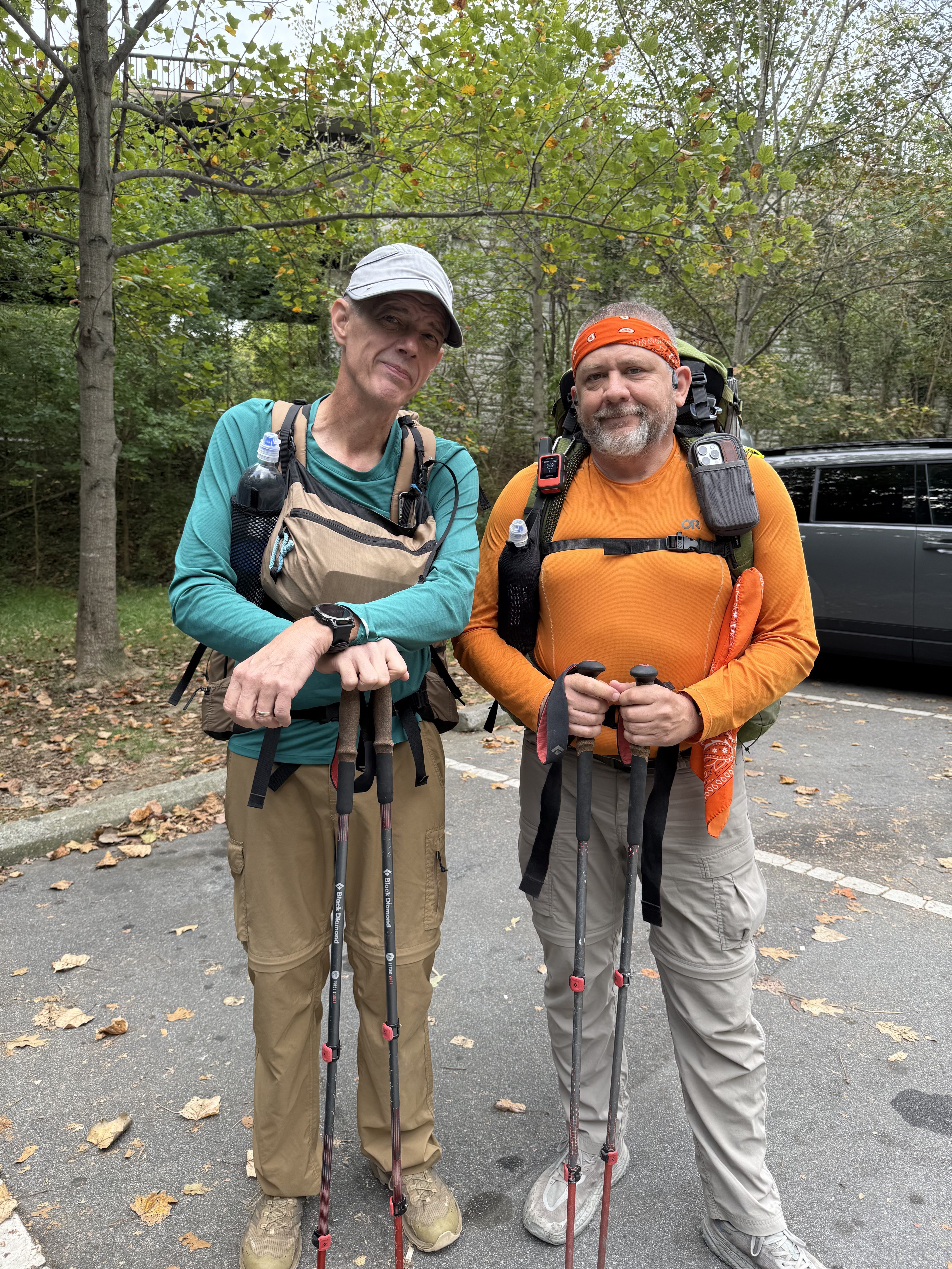
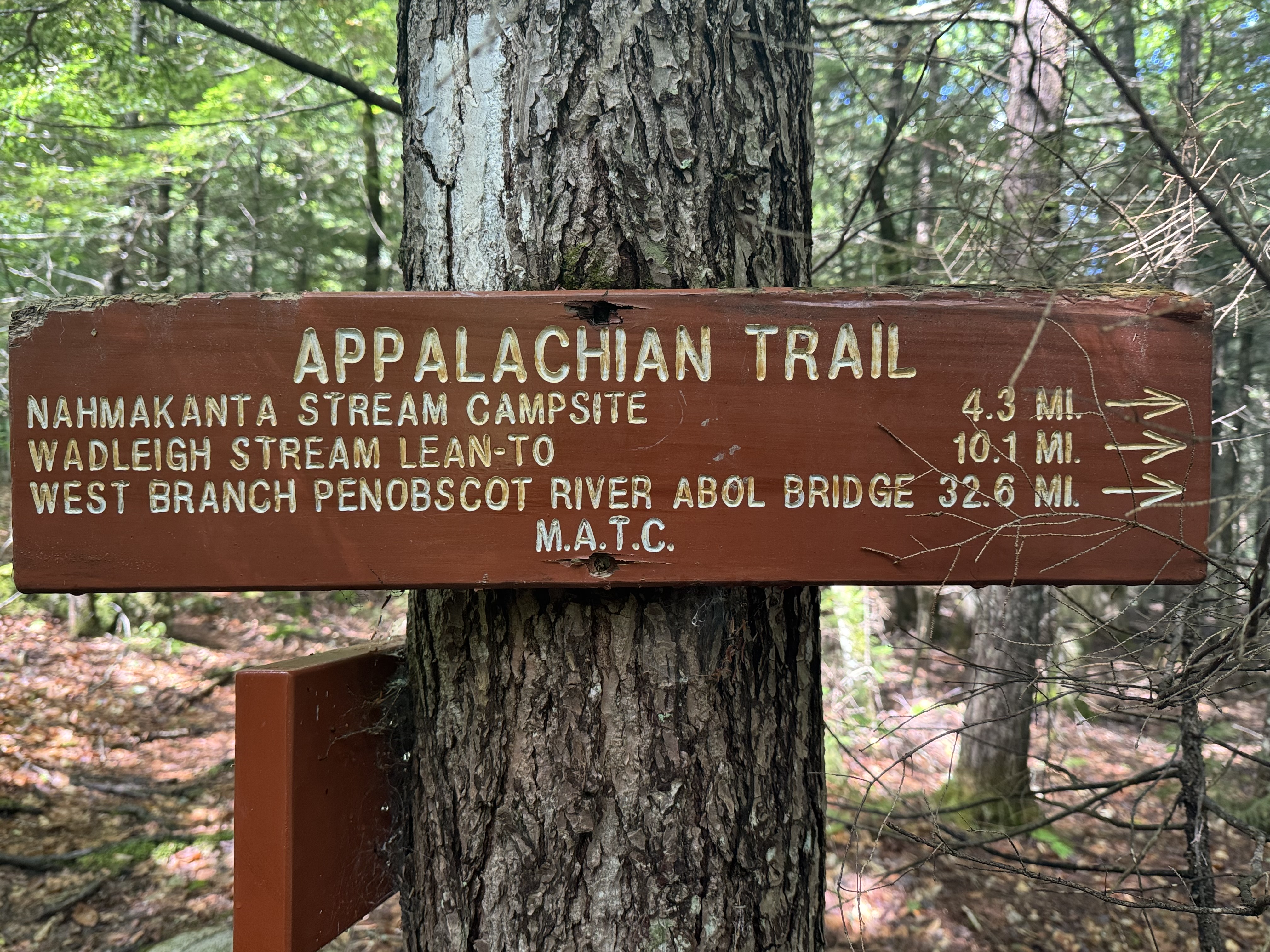
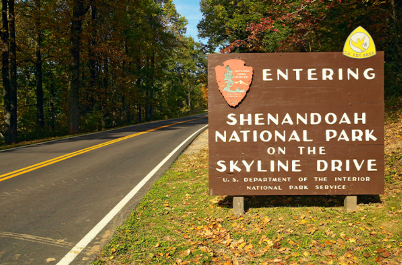
    Ed and I are leaving this afternoon to hike Shenandoah for 8-10 days. We will be hiking all of the AT through Shenandoah National Park. At the present time, all the revenue generating facilities in the park are open even with the Federal Government Shutdown. That includes camp grounds, camp sites, and waysides. That is critical as we will plan to resupply from the camp grounds and waysides very 2 days or so.

    One bit challenge will be water. Fall is normally dry in that area, but to make things worse this has been a bad drought year. We have at least one 2-day water carry. I am not looking forward to carrying 2-days worth of water (almost 10lbs).

    I spent several hours getting all my gear ready for our 8-10 day NOBO hike from Waynesboro, VA to Front Royal, VA. I had to tweak my gear loadout for the cold weather as well as a few lessons learned from this summer.

    I finished my new Web Site for blogging last night. This new waste is much easier for the readers as well as much simpler and faster for me to post to. I moved over most of my old content and am looking t forward to seeing how my blogging goes over the next 2 weeks.

    Ed will pick me up in Poolesville around 4:00pm and then drive us about 2 hours to Front Royal, VA. We are staying Monday night at a B&B / Hostel that we have used before. We will leave Ed’s car at the hostel, shuttle to Waynesboro, VA Tuesday morning, and then hike back to Front Royal.

    The weather looks great other than a chance of rain on Wednesday. Cool, clear, and breezy weather. Perfect fall hiking weather.
  • Day 3 – Ensign Cowell Shelter  to Pen Mar Park 

    Day 3 – Ensign Cowell Shelter to Pen Mar Park 

    Thursday, Sep 18, 2025. Up at 8:20. Clear cool morning.

    We are taking our time to let the sun dry a few things out from yesterday’s rains. Only 10 miles to go today and our ride won’t pick us up till around 4:45pm.

    Got dried out a tiny bit. We left a gallon of water at the shelter. On trail at 10:15 (mile 1057.8).

    Uneventful morning. Stopped at a running stream for second breakfast at 11:30 and 3 miles in. 

    Climbed up to Raven Rock for a break and a nice view. Hazy day, but that’s Hagerstown MD way across the valley. 

    Ed at Raven Rock, MD
    Chuck at Raven Rock, MD

    Stopped at High Rock for lunch at 2:00. Just 3 miles to go. Quiet up here on a Thursday afternoon. The fence is new this year. It might keep a few kids from falling off, but it’s still easy to go around it and climb on the rocks.

    High Rock with the new fence
    Chuck at High Rock

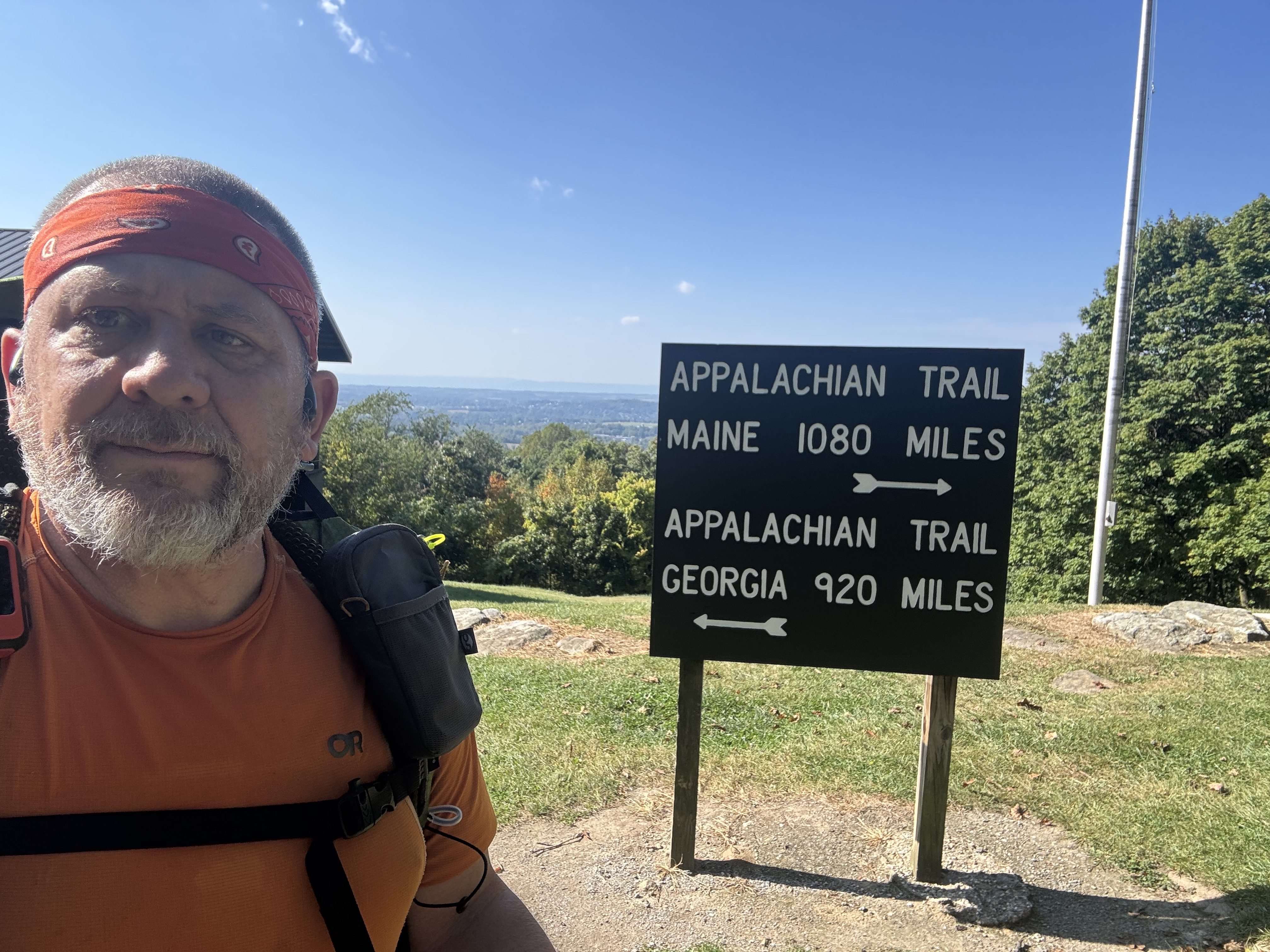
    Reached Pen Mar (mile 1967.4) at 3:50 and 9.9 miles. Great place to end a hike. 

    Wrapping up the hike at Pen Mar Park, MD

    We did not expect Dana to pick us up until 5:00, but she got here at the same time that we did. Sweet!

    We drove to our favorite diner in Frederick for an early dinner courtesy of Ed.

    Post-hike milkshake at Mountain View Diner in Frederick, MD

    Good end to short hike. Even with the bad weather yesterday.

    Technical Notes:

    • Pop tarts 360
    • Trail mix 210
    • Fig bar 200
    • Fatty beef stick 300
    • Water liters: 3
    • Miles: 9.83
    • Time: 5:33
    • Elevation gain: 1946 up
    • Elevation descent: 2011 down
    • Calories consumed: TBD
    • Calories burned: 1781 
  • Day 2 – Dahlgren Campground to Ensign Cowell Shelter 

    Day 2 – Dahlgren Campground to Ensign Cowell Shelter 

    Wednesday, Sep 17, 2025. Up at 7:30. Rainy day and cool. 

    Slept GREAT. Used the bath house to get dressed and cleaned up this morning. Had breakfast in tent then waited in tent until a break in the rain at 8:40 to strike camp and head out. Rain today until about 6:00pm. And it rained harder at 8:45. Still waiting for that break in the rain at 9:15. So much for the weather forecast!

    Packed up in the rain. Goal is to keep the inner tent dry. Everything else is wet and dirty. Wearing my rain kilt, umbrella, and neoprene gloves this morning. Gonna keep up heavy rain until at least noon. Oh well. On trail at 9:40 (mile 1043.9)

    Only 13.5 miles today with our first stop in 2 miles at Washington Monument park. There is a pavilion there where we can get out of the rain for a bit if needed. And potable water. Next stop after that is the US 40 underpass about 3.2 miles later. Very noisy but should be dry.

    Stopped at Washington Monument park for second breakfast. Been raining good since we got on trail. The temps are just at the lower end of where I am comfortable NOT wearing a rain jacket. That means I am wearing a light rain jacket but the sweating in the jacket is annoying. Should lighten up on the rain in about 3 hours.

    Starting the day in the rain and cold from Dahlgren Campground

    We took a break at Washington Monument park for half an hour. Ditched the rain coat. Too hot. A NOBO hiker and a SOBO thru-hiker stopped to get dried off as well. This weather is miserable.

    Ed at Washington Monument State Park, MD

    We hiked on from the monument and crossed I-70 on the foot bridge overpass.

    Ed crossing the footbridge ver I-70 near Boonsboro, MD

    Arrived at Ensign Cowell shelter (1057.8) about 4:40. Got our tents setup, they are wet from the rain, and started to get our wet gear unpacked. Dana arrived just after 5:00 to deliver water and my spoon . Glad she brought water as the spring is a shallow muddy puddle.

    Camp at Ensign Cowell Shelter

    Nice tenting spot. We hung things to dry, but no wind and it’s a bit humid. We are in no hurry tomorrow so we can let things dry while we chill around camp until 10:00 only 10 miles to go and Dana will not be able to pick us up until close to 5:00pm. 

    Technical Notes:

    • Pop tart 360
    • Fig bar 200
    • Trail mix 210
    • Fatty beef stick 300
    • Payday 240
    • Peak Refuel chicken rice w. Veggies 750
    • Crackers 190
    • Fritos 320
    • Water liters: 1.5
    • Miles: 14.18
    • Time: 7:00
    • Elevation gain: 2543
    • Elevation descent: 2208
    • Calories consumed: 2570
    • Calories burned: 2463
  • Day 1 – Harper’s Ferry to Dahlgren Campground

    Day 1 – Harper’s Ferry to Dahlgren Campground

    Tuesday, Sep 16, 2025. Cloudy, cool, chance of showers.

    Dana drove Ed and I to Harper’s Ferry (mile 1025.7) at 8:15. Said goodbye and got on trail at 9:10.

    The first part of the hike includes a very boring 2.5 miles on the C&O Canal Tow Path. Basically a flat road walk. We crossed the active railroad tracks and started the ascent up Weaverton Cliffs at 10:50 and 4.4 miles in. Took a short break on the cliffs before moving g on.

    Chuck and Ed on Weaverton Cliffs

    Arrived at  Gathland State park at 2:00 and 11 miles. Refilled water from the potable water source in the park and had lunch. The restrooms at the park have been closed for over 2 years, but there is a well maintained port-a-potty.

    Crampton Gap water

    While we were taking our break, I read that Robert Redford died today. Amazing actor. 

    Back on trail at 2:30. About 7 more miles. I day hike this area a lot and it’s a very boring section of trail with nothing much to see from Weaverton Cliffs until Washington Monument park tomorrow.

    Made it to White Rocks overlook at 4:05 and 14.75 miles. No rain yet but it looks and feels like rain. According to Dana it rained HARD back home this afternoon. That’s only about 20 miles away as the crow flies.

    Ed at White Rocks

    Got to Dahlgren Campground (mile 1043.9) at 5:20. Nice bathrooms with showers, toilets, trash cans. Potable water too. Set up and making dinner at 6:20.

    Camp at Dahlgren Campground
    Dahlgren Campground bathrooms

    And I forgot my cozy and my spoon! First time I’ve ever done anything like that. I’ll have Dana bring the spoon tomorrow when she drops off water. Stupid. I’ll improvise something to eat my dehydrated meal. Thankfully I was not eating ramen tonight!

    Necessity is the mother of invention. I didn’t really use that comb anyway.

    Eating dinner with a comb since I forgot my spoon

    Dana found the spoon and cozy. I have one box of stuff from my last hiking trip that goes back in my pack. And another box of spare gear to put away. The cozy and spoon ended up in the wrong box. Talked to Dana for almost half an hour this evening.

    Rain started at 7:15. Good timing! In my tent and reading for a few hours at 7:30.

    Good hard boring day. Feet hurt a bit after 18 miles, but good day overall.

    Day 1 Map – Harper’s Ferry to Dahlgren Campground

    Technical Notes:

    • Coffee 35
    • Blueberry Muffin 450
    • Mixed Berries 80
    • Fig bar 200
    • Zero sugar sausage 120
    • Fatty beef stick 300
    • Trail mix 210
    • Peak Refuel sweet pork & rice 800
    • Water liters: 1.5
    • Miles: 18
    • Time: 8:12
    • Elevation gain: 3041
    • Elevation descent: 2306
    • Calories consumed: 2300
    • Calories burned: 2648

  • Day 20 – Race Brook Falls MA to Salisbury CT

    Day 20 – Race Brook Falls MA to Salisbury CT

    Sunday, August 31, 2025. Cool, clear, no breeze.

    We are hiking a short section of trail that I missed last year. This will 100% complete my journey of the Appalachian Trail. I tried to hike this once last October just after summiting Katahdin and again early this April before my 1 year anniversary of my start date, but the weather got in my way both times. Third time is a charm!

    Up at 6:40. Quick breakfast at hotel then off to the trailhead. On trail at 8:00.

    Summited Mount Race.

    Ed and Chuck on Mount Race, MA

    YouTube video from Mount Race. 

    Reached the Connecticut border and water refill at 11:90 and 5.8 miles in.

    Moving into Connecticut
    Waterfall near the MA/CT border

    Reached the state line at 12:46 and 6.73 in.

    CT-MA state line

    Bear mountain CT summit at 12:10. Looking back at Race Mountain.

    Bear mountain CT summit looking back at Race Mountain

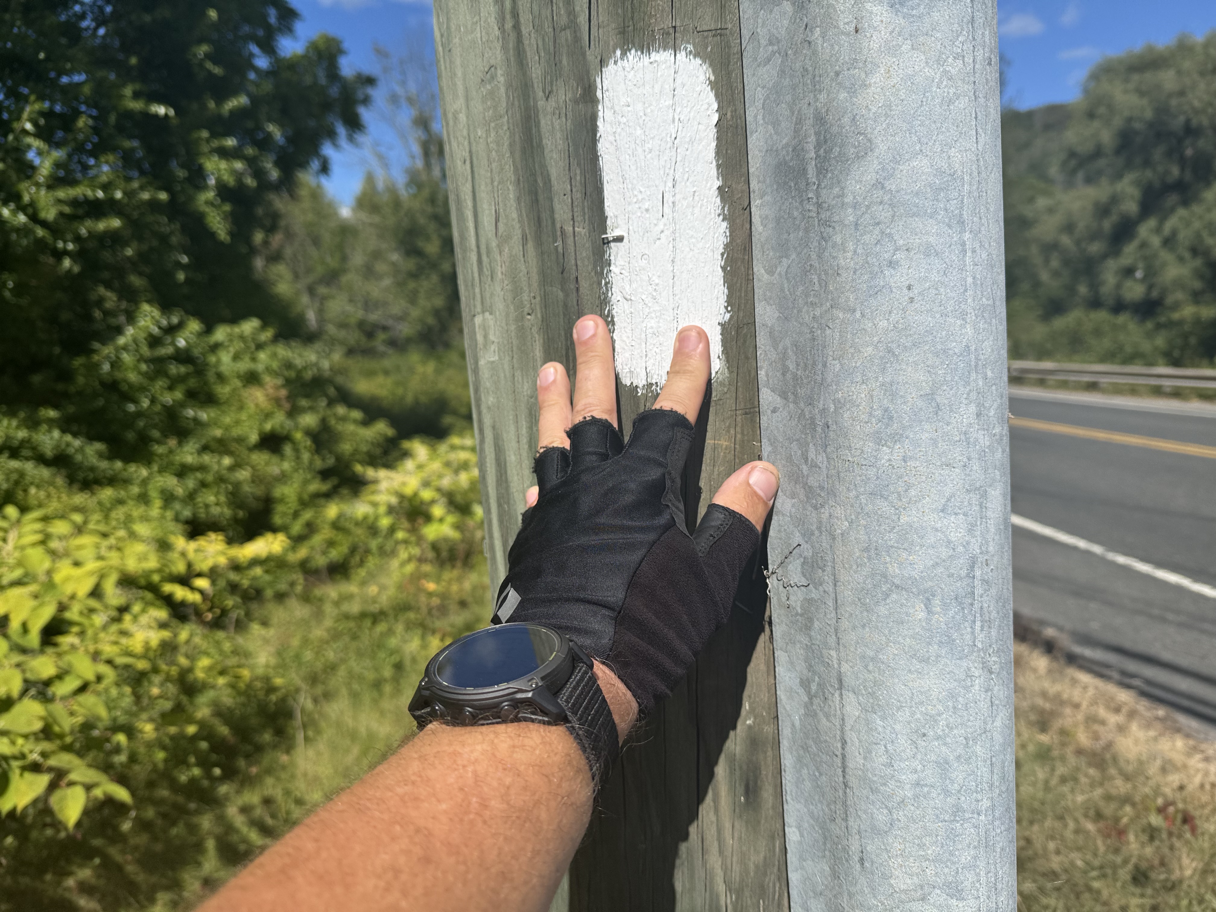
    Finished at 2:50. This is a bit emotional as this is my final white blaze to 100% complete the Appalachian Trail. 

    My final Appalachian Trail Blaze

    Got to White Hart Inn at 3:00. Jon Luning picked us up and drove us back to our car. We will be having dinner with Jon and Pam this evening in Pawling, NY.

    Got up Sunday morning and drove back to Ed’s house in PA. Picked up my truck and drove back to Poolesville, MD. 

    Lost 7 lbs per the scale but I know I put on a lot of leg muscle. Overall, not bad weight loss.

    And that’s it for this trip. Stay tuned for 3 more hikes before December this year.

    Technical Notes:

    • Breakfast 800
    • Coffee 50
    • Fatty beef stick 300
    • Zero sugar sausage 120
    • Town food … 
    • Water liters 1.5
    • Miles 13.94
    • Time 6:58
    • Up 3314
    • Down 3383
    • Calories consumed lots
    • Calories burned 2725
  • Day 19 – Zero – Millinocket Maine to Great Barrington MA

    Day 19 – Zero – Millinocket Maine to Great Barrington MA

    Saturday, August 30, 2025. 

    Up at 6:45. Had coffee and read until 9:30. It rained hard this morning. Glad to not be on trail. The owner, Gail, came by and we paid our bill and headed to Dunkin for food before getting on I-95 to start our 7+ hour drive to Great Barrington, MA.

    On the road at 10:30. We have 6:40 to Great Barrington. Weather is starting to clear and should be sunny by the time we reach southern Maine.

    Arrived at the Holliday Inn on the edge of Great Barrington at 6:15. Got unpacked and ran down the street for great Mexican. 

    We are slackpacking tomorrow so we unpacked our gear and threw what we are not carrying in the car. All in I’m probably carrying about 13 lbs.

    Technical Notes:

    • Fig Bar 100
    • Breakfast 1300
    • Lunch 1300
    • Dinner 1700
    • Water liters 
    • Miles 
    • Time 
    • Up 
    • Down 
    • Calories consumed 
    • Calories burned 
  • Day 18 – Abol Bridge to Katahdin Stream Campground

    Day 18 – Abol Bridge to Katahdin Stream Campground

    Friday, August 29, 2025. Up at 6:25. Overcast, cool, breezy, showers around noon.

    Wishbone left camp (mile 2183.4) at 6:00am. He needs to be at the Baxter Park kiosk to meet the ranger at 7:00 to try to get one of the 12 hiker camp spots in the Birches Campground. Weather permitting he will try to summit tomorrow, Saturday. Weather does not look good for him.

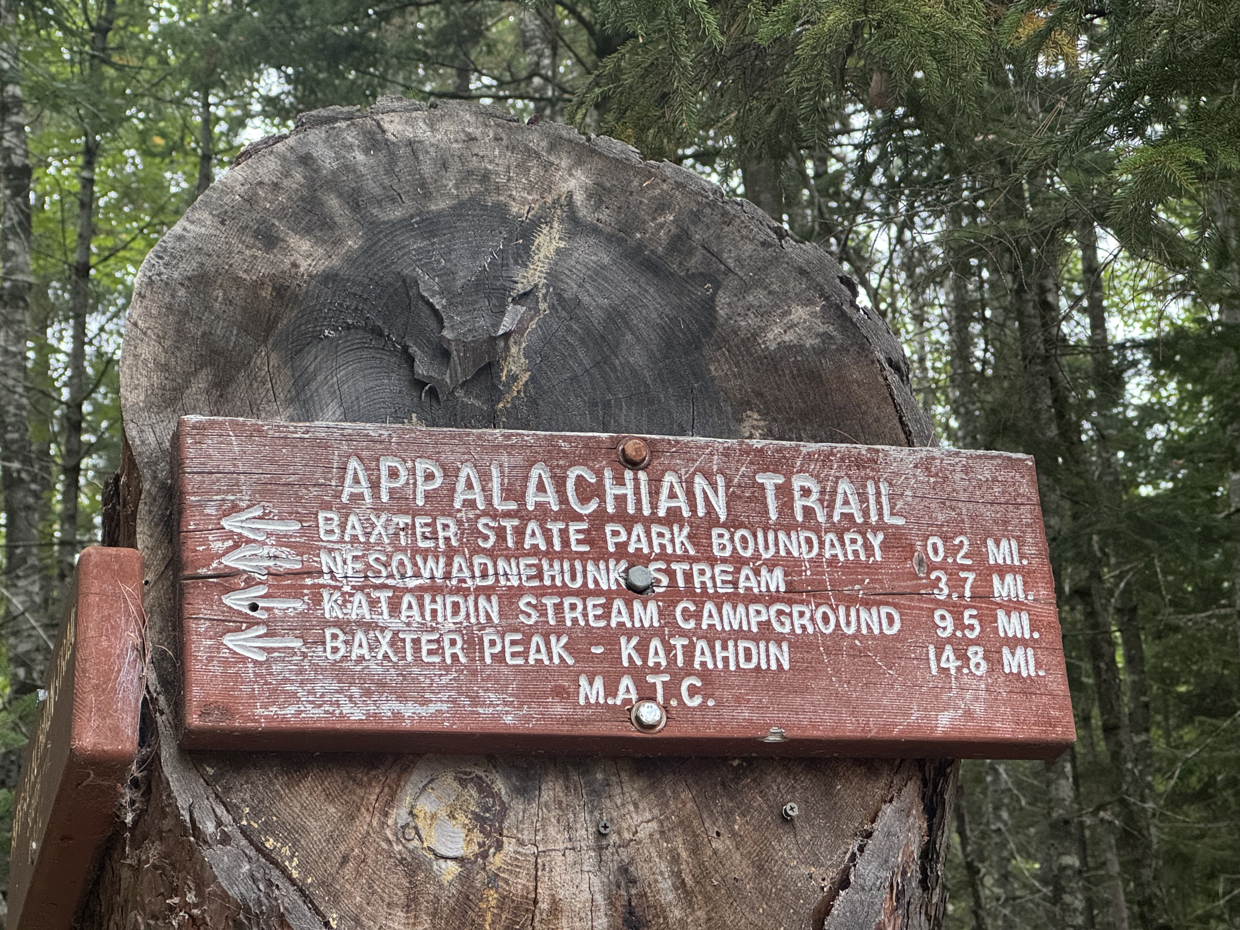
    We road walked a mile to the entrance to Baxter spark. Arrived a bit before 8:00am at the park entrance kiosk and talked with the ranger Donald Duck. He has the morning duty most days and is quite famous on the AT up this way. Wishbone is going to start with us and then meet us at the end and shuttle to Millinocket with us. It’s too risky to summit this afternoon with thunderstorms forecast after 1:00 on Katahdin.

    Passed a minor waterfall at mile 4 and 9:30. Beautiful easy trail.

    Waterfall in Baxter Park

    Minor water crossing. Ed got both feet wet up to the calves but no harm.

    Ed just before he falls into the stream

    Stopped for second breakfast at 9:50 and 4.7 miles by the first waterfall on Nesowadnehunk Stream. Trail has been mellow with a slight incline and good footing. 

    waterfall on Nesowadnehunk Stream

    At 10:45 and 6.34 miles we reached Big Niagara Falls on Nesowadnehunk Stream. Impressive even in a drought! See Ed on the right side for scale.

    Big Niagara Falls on Nesowadnehunk Stream

    YouTube Video of Big Niagara Falls on Nesowadnehunk Stream.

    About .3 miles later we reached Little Niagara Falls on Nesowadnehunk Stream. Katahdin in the background shrouded in low clouds..

    Little Niagara Falls on Nesowadnehunk


    YouTube video of Little Niagara Falls on Nesowadnehunk Stream.

    Getting close. Trail continues to be very pleasant.

    Getting close to Katahdin

    There are a ton of day hiking trails up here. Well marked fortunately.

    hiking Trails in Baxter State Park

    Arrived at Katahdin Stream Campground at the base of Mount Katahdin at 12:20. There are a pair of thru-hikers here who went up and down in 6 hours this morning. That’s insanely fast!  

    Ed and Chuck at Katahdin Stream Campground
    Hunt Trail to summit Katahdin
    Katahdin Plaque

    Wishbone arrived about 10 minutes after we did. Ranger Donald Duck was up here covering for the normal day rangers who had to do a night rescue on the mountain last night. We talked for about half an hour. Great guy!

    Lloyd shuttled us back to Millinocket along with Wishbone at 1:40. Just as the rain started. Yay. Wishbone headed back to Monson for the night and will drive his car back up here tomorrow and try to summit on Sunday.

    Hung out at 100 Mile Wilderness Inn until 5:30. Got a well needed shower after 7 days on trail. Called Pitcrew, caught up on news and blogs. Went for a drink at the Blue Ox then had dinner at the restaurant across the street. Back to the Inn and in bed about 8:45.

    Day 18 Map – Abol Bridge to Katahdin Stream Campground

    Technical Notes:

    • Pop tarts 360
    • Zero sugar sausage 120
    • Zero sugar sausage 120
    • Payday 250
    • Town food and drink
    • Water liters 1
    • Miles 9.9
    • Time 4:45
    • Up 1047
    • Down 541
    • Calories consumed lots
    • Calories burned 1650
  • Day 17 – Rainbow Spring Campsite to Abol Bridge

    Day 17 – Rainbow Spring Campsite to Abol Bridge

    Thursday, August 28, 2025. Up at 6:40. Cold, breezy, not a cloud in the sky. 

    We have 11.4 miles to Abol Pines campground for our last night on the AT. Should be an easy and early day. Arrive about 1:15.

    On trail (mile 2172.3) at 8:10.

    Walked the edge of the lake for first 3.8 miles then started ascending to Rainbow Ledges. Stopped at Rainbow Ledges for a break at 10:30 and 5.1 miles. Ran into Wishbone again. He was leaving as we got here. Texted the shuttle service for tomorrow to let them know that we were on schedule.

    Rainbow Ledges

    Momma K showed herself in all her glory this morning.

    Mama K from Rainbow Ledges
    Mama K from Rainbow Ledges
    Chuck and Mama K from Rainbow Ledges

    Stopped at noon and 7.63 miles to refill water near Hurd Lean-to. The hike since Rainbow Ledges has been VERY rooty making for difficult footing. Only 3.5 miles to go.

    Exited the Hundred Mile Wilderness. I love this sign!

    End of the HMW

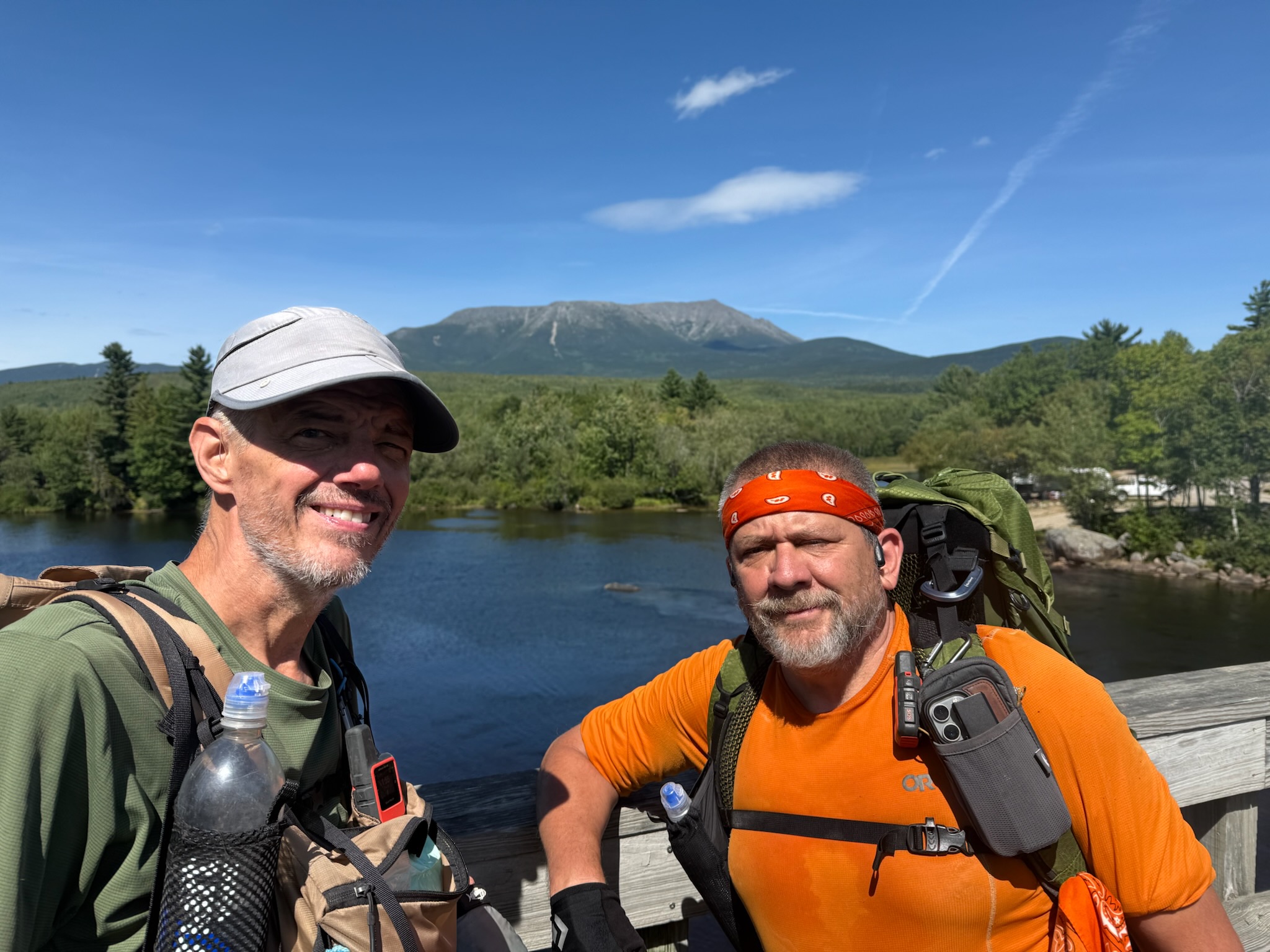
    Got to the famous Abol Bridge (mile 2183.5) at 1:50. Huge milestone. Met Wishbone on the bridge. Amazing views of Katahdin from the bridge.

    Ed and Whishbone on Abol Bridge
    Mama K from Abol Bridge
    Katahdin from Abol Bridge
    Wishbone, Ed, and Chuck with Katahdin taken from Abol Bridge
    Chuck with Mama K from Abol Bridge

    We went to the Abol Bridge camp store for beer, snacks, and to rent a small primitive cabin for the three of us for the night. It will be good to have a mattress that does not deflate on me 5 times a night tonight. Plus no need to mess with tents. 

    Abol Bridge store
    Our cabin at Abol Bridge campground

    We dumped our stuff in the cabin and then celebrated our hikes and reaching Katahdin. I bought a six pack of Schlitz. I have not seen that beer in over 25 years.

    It’s Schlitz time
    Happy hour with Ed and Wishbone at Abol Bridge campground

    We hung out and talked until 5:15 when we walked back to the store to grab cold sandwiches for dinner and more beer. We were all in bed by 6:45 as it’s getting cold and windy and there is no electricity.

    Really great end to the hundred mile wilderness. Abol Bridge is a huge milestone for NOBO hikers. All that’s left is a 10 mile hike to either The Birches camp or Katahdin Stream camp (KSC) inside Baxter Park, followed by an ascent and descent of Mount Katahdin. I did that last year and Ed wants to hold off on the ascent until he has section hiked the entire AT.

    Technical Notes:

    • Pop tarts 360
    • Zero sugar sausage 120
    • Fig bar 200
    • Schlitz X 6
    • 6 inch Roast beef sub X 2
    • Chips
    • Little Debbie cake
    • Hershey bar X 2
    • Water liters 3
    • Miles 11.23
    • Time 6:00
    • Up 1572
    • Down 2090
    • Calories consumed lots
    • Calories burned 1932
  • Day 16 – Nahmakanta Lake Camp to Rainbow Spring Campsite

    Day 16 – Nahmakanta Lake Camp to Rainbow Spring Campsite

    I got up at 1:00am and walked down to the lake to look at the stars. No clouds and very clear. Zero ambient light. The Milky Way was a bright band running diagonal over the lake. Stars from the horizon up to the Milky Way and back down behind me. Awesome view.

    Wednesday, August 27, 2025. Up at 6:30. Cool, partly cloud, breezy. Nice hiking weather. 

    On trail (mile 2157.7) at 8:00. We have 14.5 miles to go. 

    Nice trail paralleling the lake this morning including some beach walks.

    Ed hiking the beach at Nahmakanta Lake

    That turned into a good hard climb to our last decent mountain before Katahdin. Including some interesting rock formations. Tough rooty trail again.

    Ed in Mother Nature’s rock house in HMW
    Tough rooty trail in HMW

    Stopped on summit of Nesuntabunt Mountain for second breakfast at 10:25 and 4.5 miles in.

    Summit of Nesuntabunt Mountain

    Good view of Momma K topped in clouds. Hopefully we will see her in sunshine later today.

    Katahdin with her top hiding in clouds

    YouTube video of Katahdin and lake.

    Found something interesting at Wadleigh Pond Road.

    Crutches at Wadleigh Pond Road

    Stopped to fill up on water at noon. Mother Nature’s boat ramp.

    Mother Nature’s boat ramp

    Stopped at Rainbow Stream Cascades waterfall at 1:15 and 8.75 miles for a snack. Falls are flowing, but not nearly what they normally would due to drought. 

    Stopped at Rainbow Stream Cascades waterfall

    Passed by Rainbow Springs Lean-To at 2:15. This was our backup in case of rain. 

    Rainbow Springs Lean-To

    Stopped at Rainbow Lake Dam at 3:10. Thought about camping here but decided to push on. Awesome view of Katahdin from the tent spots.

    Rainbow Lake Dam sign
    Katahdin from Rainbow Lake Dam

    At 4:00 we made at camp at Rainbow Spring Campsite (mile 2172.3). Good tent sites with picnic table, sheltered from the wind, and an amazing piped spring! Older gentleman from Tennessee named Wishbone we met on day 2 is here finishing his Hundred Mile Wilderness section hike and his summit of Katahdin. Had been sectioning with his brother, but the brother went home last Wednesday from Monson.

    camp at Rainbow Spring Campsite

    We all had dinner together at 5:45. By 6:30 everybody was cold and tired, so we adjourned to our tents. Took care of chores including blog edits by 7:00. 

    Going down to upper 40s and breezy tonight. Sleep pad is deflating within an hour. I picked a spot with a good bed of leaves for padding and insulation. Put two sit pads under the sleep pad at my torso to help with the cold that the ground sucks out of your body.

    Good day overall. Just 1.5 days left on Maine on trail. Momma K is getting closer and closer.

    Day 16 Map – Nahmakanta Lake Camp to Rainbow Spring Campsite

    Technical Notes:

    • Pop tarts 360
    • Trail mix 170
    • Zero sugar sausage 120
    • Trail mix 170
    • Peak Refuel White Chicken Chili 760
    • Fig bar 200
    • Payday 250
    • Fatty beef stick 200
    • Water liters 4
    • Miles 14.86
    • Time 8:20
    • Up 2635
    • Down 2201
    • Calories consumed 2230
    • Calories burned 2856
  • Day 15 – Antlers Campsite to Nahmakanta Lake

    Day 15 – Antlers Campsite to Nahmakanta Lake

    Tuesday, August 26, 2025. Up at 6:40. Warm, breezy, sunny. We are in no rush as we only have 11 flat miles. 

    If there was any doubt that I have a leak in my sleep pad, last night took care of that. I had to put more air in it 4 times. I may try to find the leak and patch it this afternoon.

    I’m also running low on batteries. Not sure why one of my power banks only lasted 2 nights. Should have been 3+. I may have left WiFi on yesterday 🙁

    We took an hour to dry our tents and clothes on the beach this morning. Breeze and sun are great. Fully disassembled the inner from the outer tent to get things as dry as possible. Inner is dry and foot print is dry. Outer is close enough. Can dry the outer more at camp this afternoon before pitching the entire tent.

    On trail (mile 2146.7) at 9:00. Hope to be at camp by 2:00.

    We got our first on-trail view of Katahdin. Spectacular. And emotional. More on that later.

    First view of Katahdin
    Ed and Chuck with Katahdin in background

    Slippery wooden walkways all morning from the rain. Very slippery.

    Slippery wooden walkways in HMW

    We had 3 mellow water crossings. Most years you have to ford these. But with the drought this year we could rock hop.

    Ed at water crossing in HMW

    Nice walk in the woods for a few miles.

    Nice soft trail in HMW

    Stopped at 12:15 and 7.33 miles for lunch and water refill. Yes those are stairs bolted into the river side.

    Stairs bolted to the river bank on trail in HMW
    Lunch and water resupply in HMW

    Hard last 3.7 miles. Lots of slippery nasty roots and rocks. Ed took a nasty fall at one point, but all is good. 

    Startled this little guy as he was eating lunch. Sorry dude.

    Squirrel having lunch in HMW

    We got to Nahmakanta Lake (mile 2157.7) at 2:20. There is a 4 person group already taking one big tent area. We found a great tent area very close to the lakeshore and about 100 feet from a picnic table. Setup camp and got a lot of gear out to air out. 

    Camp at Nahmakanta Lake in HMW

    It’s VERY windy as you can tell from the whitecaps on the lake. The wind is a steady 15-20 mph and is 60 degrees at 4:00pm. Hopefully the wind chills out later.

    Nahmakanta Lake

    Refilled my sleep pad at 5:42. It was mostly flat by 7:00. Gonna use mine and Ed’s sit pads and spare clothes to try to make a pallet under the sleep pad to help with the cold and the tree root that is in the middle of my back!

    Wind is finally dying down as Ed and I make dinner at 7:30. How about that sunset!

    Sunset on Nahmakanta Lake

    In bed to read at 8:40. Wind is mellowed and lows tonight are about 50. The pallet I made under the half deflated air  mattress is helping. Fingers crossed on that front.

    Good easy day today. I really wanted to swim in the lake but the wind and lack of sun messed that up. Got another lake to try that with tomorrow. Seeing Katahdin again brings up all kinds of mixed emotions. I’m exited to see it, but it dredges up some regrets from last year’s thru-hike. This could be my last time up here. Who knows. 

    That post-hike depression thing can linger for a long time. I try to look at life through the front windshield and never the rear view mirror, but every now and then ….

    Day 15 Map – Antlers Campsite to Nahmakanta Lake

    Technical Notes:

    • Pop tarts 360
    • Fatty beef stick 300
    • Trail mix 170
    • Zero sugar sausage 120
    • Peak Refuel chicken rice w veggies 740
    • Fritos 500
    • Fig bar 200
    • Water liters 4
    • Miles 11.14
    • Time 5:26
    • Up 988
    • Down 860
    • Calories consumed 2390
    • Calories burned 1800