Tag: 2025

  • Day 14 – Logan Brook Lean-To to Antlers Campsite

    Day 14 – Logan Brook Lean-To to Antlers Campsite

    Monday, August 25, 2025. Up at 6:40. Overcast, potential rain, cool. It drizzled last night. Much less rain than I expected. Storms on and off today per forecast.

    Out of camp (mile 2127.1) at 8:00  Either 15.4 or 19.6 to go today.

    Stopped at 8:40 for water.

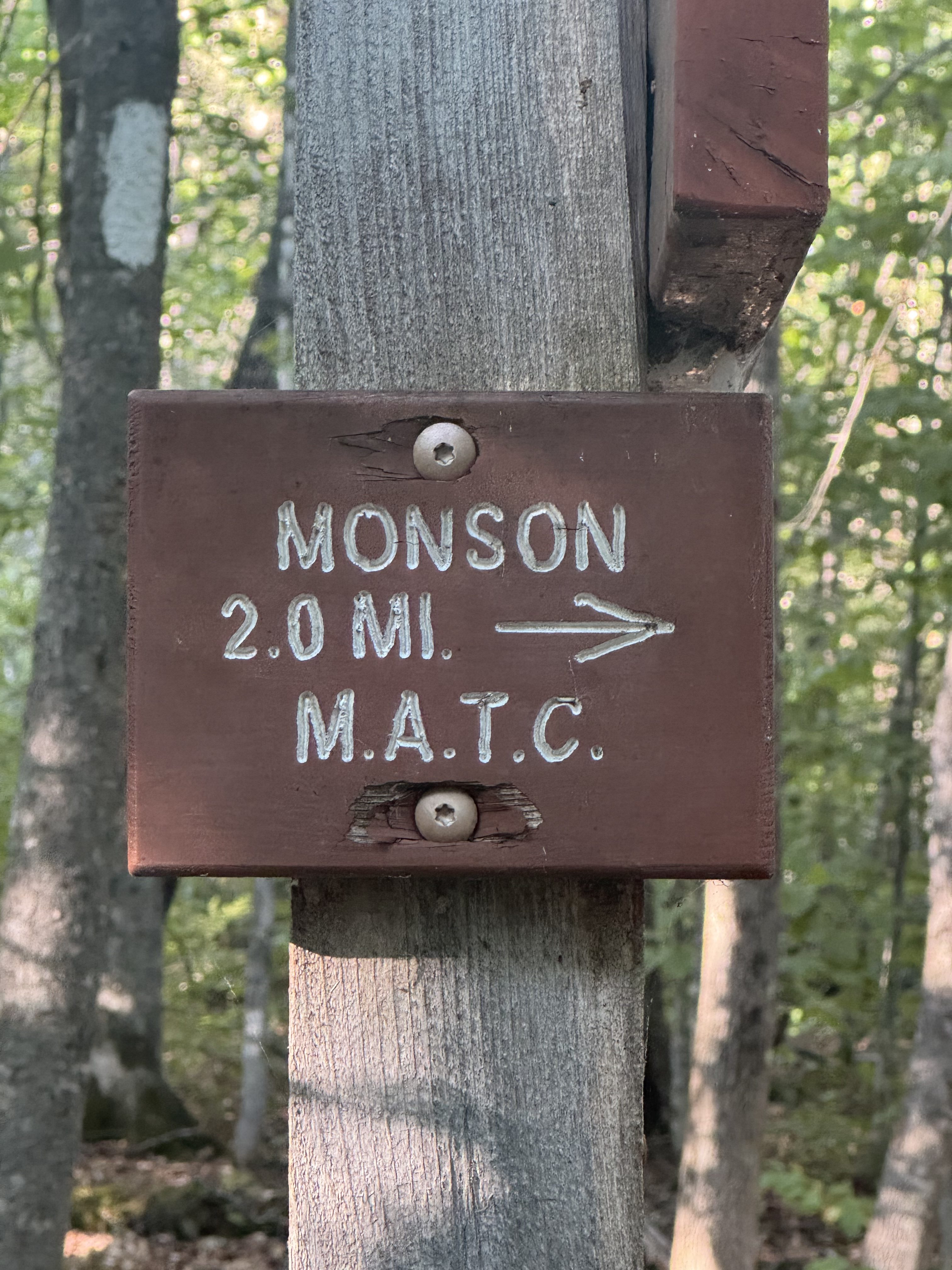
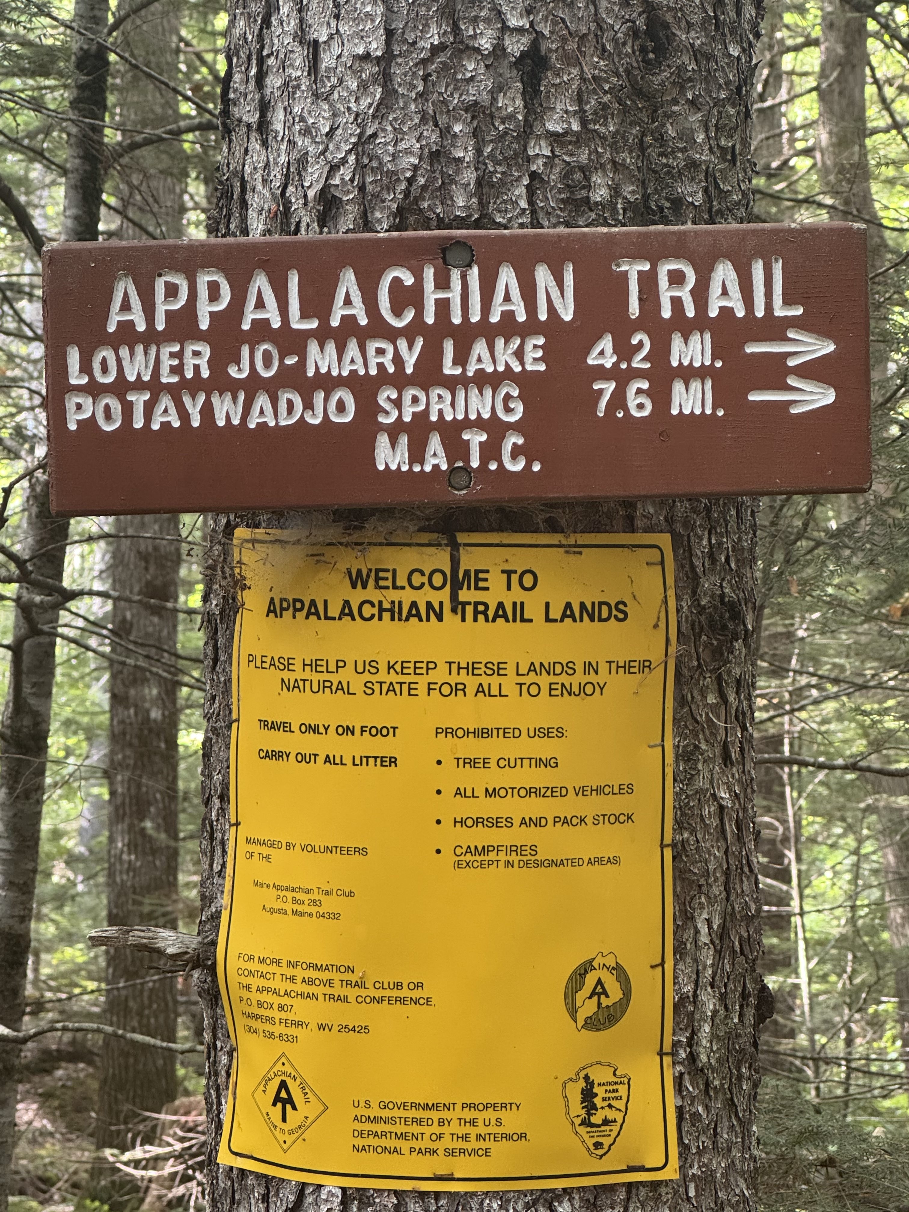
    Appalachian Trail signage

    Stopped at Mountain View Pond at 10:39 and 5.3 miles to fill water and have a snack. Small pond. Medium uphill last 1.2 miles. We have .7 down a saddle then .8 up to Little Boardman Mountain. Been misting heavily. Not quite rain yet. Hopefully that holds off till the afternoon. Back on trail at 10:50.

    Summited Little Boardman Mountain at 11:40 and 6.84 miles. Surprisingly steep, but all easy after this!

    Summit of Little Boardman Mountain

    Texted with Pitcrew, sort of. One bad bar cell service on the summit. Starting to rain so headed down.

    Making good time now that we are in better terrain. Stopped at a great stream at 1:40 and 10.9 miles to get water and have lunch. Humid but the sun is trying g to come out. Maybe we missed the real rain? Back on trail at 2:00.

    Took a break at Jo-Marry road at 3:33. This is one of the two major private logging roads through the HMW. Also where you can get a supply drop but we don’t need one. This road handles major logging traffic including 18 wheelers hauling big loads of logs. 

    Jo-Marry road

    Beaver definitely at work here. 

    Beaver has been here

    Got to Antlers Camp (mile 2146.7) at 5:20 and 19.6 miles. Good long hard day. There are 7 other hikers here. Lots of room so we are all spread out. Beautiful campsite on Jo-Marry lake. Very big lake in a chain of lakes. If the sun were out I would go for a swim. Water is warm.

    Ed bathing at Jo-Marry Lake at Antlers Camp

    Got camp all setup and dried clothes a bit before the rain got here at 6:45. We were both all set up and in our tents about 5 minutes before the rain started. Surprisingly have decent cell service. Looks like rain will continue until around 8:30. We will be cooking dinner in our tent vestibules tonight.

    Camp site at Antlers Camp
    Rainy evening soaking in vestibule at Antlers Camp

    Asleep at 9:30. Long day today but not too difficult other than carrying 30 pounds for 19 miles 🙂 My feet are feeling it.

    Our long day today gives us a short flat 11 miles tomorrow. Should be mostly sunny which will let us dry our gear after all this rain this evening! We will get to camp around 2:00 at latest. It’s supposed to be an awesome camp right on the lake. Looking forward to that!

    Day 14 Map – Logan Brook Lean-To to Antlers Campsite

    Technical Notes:

    • Pop tarts 360
    • Zero sugar sausage 200
    • Fatty beef stick 300
    • Payday 250
    • Doritos 300
    • Peak Refuel sweet pork and rice 800
    • Water liters 5
    • Miles 19.5
    • Time 9:20
    • Up 1686
    • Down 3533
    • Calories consumed 2300
    • Calories burned 3313
  • Day 13 – Gulf Haggis to Logan Brook Lean-To

    Day 13 – Gulf Haggis to Logan Brook Lean-To
    Sunday, August 24, 2025. Up at 6:30. Warm and sunny and  breezy. Heading for low 80s.

    Packed up, had breakfast, and got shuttled back to Monson at 8:10. Arrived at 100 Mile Wilderness Adventures camp in Monson at 9:40. 

    Jordan picked us up at and we headed for Gulf Haggis via the Katahdin Ironworks Road at 9:55. Taking the long way in from Moosehead Lake due to the road being closed on the Millinocket side for bridge repairs.

    Arrived at the trailhead in the Hundred Mile Wilderness (mile 2114.4) at 11:00. Immediately got on trail.

    We made 5.6 miles by 1:30. Fairly cruisy with a few medium uphills. Took a break for a snack and to refill water before we start the hard climb. Next 5.8 miles to the summit of White Cap are 4 steep up and down mountains. Probably slow us down to a bit over 1 mile per hour. I hope to be at camp by 7:00pm.

    Appalachian Trail sign near Gulf Haggas

    We have been leapfrogging with Turtle since mile 1. He started in NY and is going to Katahdin, then flipping back to NY to complete his thru. He lost his water cap somehow while we were taking a break. I had a spare. The trail provides.

    Nice waterfall.

    Nice waterfall near Gulf Haggas

    Back on trail at 2:00. We have 4 summits this afternoon. Reached Gulf Haggis Mountain at 2:35. That was a nasty hard climb.

    Summit of Gulf Haggis Mountain

    Crossed over West Peak about 3:30. Nasty climb number 2.

    Summited Hay Mountain at 4:30. Nasty climb number 3.

    Summit of Hay Mountain

    Now we need to climb up to White Cap Mountain at over 3600 feet. That’s what we need to go over.

    View of White Cap Mountain at over 3600 feet

    Dragged our butts up to the top of White Cap about 5:40. Tough ascent and the wind is at least 30 miles per hour above tree line with gusts that push me around a lot. Amazing views up here even with the cloud cover. Looking north into the HMW we can’t see any sign of civilization. 

    Summit of White Cap Mountain

    YouTube video from White Cap Mountain.

    Somehow there is decent cell service up here. Took a picture and sent it to Pitcrew. She sent me a picture back. 

    View from top of White Cap Mountain

    We descended about a mile to Logan Brook Lean-To (mile 2127.1) by 6:20. The shelter as full and the tent sites were all taken. We got water and hiked about .25 miles to a decent stealth camp spot. Very rocky but it works. Finished setting up camp about 7:40. Made dinner in the dark and in bed to read by 8:30. 

    It’s very windy with a high chance of rain tonight. Ed and I both put extra guylines to hold the tents in the wind. Fingers crossed. 

    Not a bad day. Hard but not terrible. We are basically done with big climbs for the next 5 days. Yay! There is a 100% chance of rain tomorrow. Will see how wet we get. Probably soaked. Just hoping to put up our tents between storms tomorrow night. We have 15.3 miles to an OK spot, but we want to push for 19.4 to a good camp area. We will see how we feel by mid afternoon tomorrow.

    Day 13 Map – Gulf Haggis to Logan Brook Lean-To

    Technical Notes:

    • Donut holes 320
    • Crackers 190
    • Readywise pasta vodka chicken 690
    • Fig bar 200
    • Fritos 300
    • Water liters 3.4
    • Miles 13.23
    • Time 7:31
    • Up 4377
    • Down 2815
    • Calories consumed 1400
    • Calories burned 3359
  • Day 12 – Zero in Bangor and Millinocket 

    Day 12 – Zero in Bangor and Millinocket 

    Saturday, August 23, 2025. Up at 7:40. Mid 70s, sunny and breezy.

    Did our route plan for the rest of the trip.  Headed to breakfast at a highly recommended local truck stop then onto Millinocket. Should be there about 1:00.

    We decided to cut out the first 2 days in the HMW. They are big mountains and we would have to do the nastiest in the rain. I hiked both those sections last year, so no problem here. This also lets us do an average of 14-15 mile days which also means we don’t need to do a resupply in the HMW. Should finish at Baxter Park on Friday afternoon.

    We got to the Hundred Mile Wilderness Inn in Millinocket in the mid-afternoon. This is a nice little house that has been turned into a hostel. I stayed here last year and really liked it. Good location, clean, and great owners.

    We met with the owners to plan our shuttle into the HMW at the Katahdin Ironworks (KI) Road tomorrow. And we hit a major snag. The eastern entrance to the KI road is closed. The lumber company that owns the road is replacing several culverts. They were supposed to be finished a week ago, but work continues. Our only option is to come into the HMW from the WEST end of the KI road over by Moosehead Lake and Greenville, Maine. And the only way to do that is to drive in a great big semi-circle from Millinocket south to Monson and then northwest to Greenville and then east on the KI road many. Miles into the HMW to meet the AT. Ugh. Fortunately the owner here can shuttle us to Monson in the morning and Jordan from the Hundred Mile Wilderness Adventures in Monson can drive us the rest of the way to the AT.

    We walked to the Scootic Resturant for dinner then back to the hostel. I read for a while and decided that I need to find a different blog site. I plan to build my own site using WordPress and blog there. Downloaded several WordPress tutorial books and started reading.

  • Day 11 – Bald Mountain Brook Lean-To to Monson

    Day 11 – Bald Mountain Brook Lean-To to Monson

    Friday, August 22, 2025. Up at 6:15.  Cool and sunny. 

    We have 18.6 miles to go. Estimating 5:00.

    I got careless in my tent and tore a quarter sized hole in the netting. It’s the outer netting with a pocket attached, so I must have shoved something with a sharp edge into that pocket. Fixable with a patch kit but annoying.

    I also had to put air in my sleep pad at 4:00am. I’m worried I have a slow leak. I need to figure that out before heading into the hundred mile wilderness.

    On trail (mile 2061.8) at 7:15.

    Stopped at 8:10 on the top of Moxie Bald Mountain. I need to call my doctor and get a rescue inhaler prescription sent to Millinocket. Fortunately that was successful! We made a hotel reservation in Bangor for tonight. It’s a 1 hour drive from Monson this evening. We get a real bed, bar, and restaurant. No rush as tomorrow will be a zero instead on a Nero day are hiking 18.6 miles today. Really looking forward to this evening as and a couple of bourbons.

    Back on trail at 8:30. Stopped at Bald Mountain Pond for water and second breakfast. Easy descent from Moxie Bald Mountain. 

    Back on trail at 10:10. Should be a gentle downhill all day to Monson.

    Stopped at 11:40 and mile 7.75 for a break and a snack. The last several miles were VERY Rocky!

    Rocky trail near Moxie Bald Mountain

    And then we got a brief break with this lovely path. 

    Lovely Appalachian Trail near Moxie Bald Mountain

    Last few hours have been tough. Rocks, roots, and a lot of small steep ups and downs we had not expected. Last year I had to ford two streams. One was calf deep and one ankle deep. It’s so dry this year we walked across on stones.

    Ran across Mary-Beth, Toni, cruise director, and Antlers on our hike today. Said good luck and goodbye to all of them. 

    Stopped at Horseshoe Canyon for a break and a snack at 2:20. Need to refill on water but not here. It is a canyon with the river waaaay at the bottom. We have 5.3 miles to go.

    Getting close to Monson, Maine

    Reached the 100 Mile Wilderness Adventures in Monson (mile 2080) at 5:40. Awesome end to the first half of the trip.

    Drove to Bangor for a hotel and meal. We have a day to kill tomorrow so no rush on things. Had a decent dinner at Texas Road house to celebrate the success of thfirst half of our trip. 

    Today was one of those slog it out days.  No views, nothing special. You just have to get from point A to point B. Hike on, keep your head down, and suck it up. 

    Day 11 Map – Bald Mountain Brook Lean-To to Monson

    Technical Notes:

    • Pop tarts 360
    • Fig bar 200
    • Payday 240
    • Fatty small sausage 190
    • Seltzer 100
    • Crackers 190
    • Dinner and food in town 
    • Water liters 5
    • Miles 18.9
    • Time 10:15
    • Up 2812
    • Down 3245
    • Calories consumed 4000
    • Calories burned 3619
  • Day 10 – ME Rt 201 to Bald Mountain Brook Lean-To

    Day 10 – ME Rt 201 to Bald Mountain Brook Lean-To

    Thursday, August 21, 2025. Up at 6:45. Cool and overcast going up to 77 and sunny. Weather looks great until 4 days from now on Sunday August 24.

    Had a great hot breakfast at the Inn. Got a ride to the trail in the back of a pickup. Been about 40 years since I did that! On trail (mile 2047.1) at 8:50.

    Shuttle from Sterling Inn to trailhead at ME Rt 201

    Pretty chill hike for the first 5.5 miles then a 1.7 mile solid climb up to Pleasant Pond Mountain. Passed Flash, Crash, Toni, and Cruise Director who are slacking back to the Inn for the night. Had lunch on top of the mountain at 12:50.

    Summit of Pleasant Pond Mountain
    Chuck at summit of Pleasant Pond Mountain

    YouTube video from Pleasant Pond Mountain.

    Called Pitcrew and chatted a bit as this is the last cell service until Saturday afternoon. Back on trail at 1:20. We have 7.7 miles to go.

    Stopped for some questionable water about 3.3 miles from camp. Beggars can’t be choosers so we filtered a liter each. I’m gonna have to give my filter a serious cleaning when we get to Millinocket! Lots of dirt and debris in the water.

    Got to Bald Mountain Brook Lean-To (mile 2061.8) at 5:00. I’m pleased with the pace we had today to get here by that time. 

    Set up tents and walked .2 miles to get water from a puddle under a bridge. Even worse than the water this afternoon. Water is a big challenge up here this year. Reminds me of Virginia and Pennsylvania in the drought last summer. We will have to carry 4 liters with us tomorrow morning assuming we can get that much out of the puddles under the bridge. First good water tomorrow is 5.8 miles out with a big climb first.

    Camp at Bald Mountain Brook Lean-To

    There are 4 people in the shelter and one tenter. The couple in the shelter are an older couple from Germany doing a large SOBO section. Two guys in their 50s are on their next to last section for finishing the AT. One is a dentist from Silver Spring, MD and the other is from Rochester, NY and is in charge of continuing education (GEDs and such) at a maximum security prison. Interesting stories !

    Not a bad hike this afternoon. Sort of a sawtooth over 8 miles but steadily downhill. Unfortunately we have a big 1.7 mile climb to start the day tomorrow. We decided that we felt so good today and made such a good pace that we will try to do the 18.5 miles into Monson tomorrow instead of the 12.5 that we had planned.

    In bed and reading at 7:30. We are hearing coyotes howling fairly close. First time for that this trip. 

    Day 10 Map – ME Rt 201 to Bald Mountain Brook Lean-To

    Technical Notes:

    • Coffee w cream 80
    • Breakfast casserole 500
    • Blueberries 100
    • Fatty Beef Stick 300
    • Pro Adventure Meal beef and Korean rice 750
    • Fritos 300
    • Water liters 2.5
    • Miles 14.68
    • Time 8:10
    • Up 3445
    • Down 2644
    • Calories consumed 2100
    • Calories burned 3433
  • Day 9 – Pierce Pond Lean-To to ME Rt 201

    Day 9 – Pierce Pond Lean-To to ME Rt 201

    Wednesday, August 20, 2025. Up at 6:30. Overcast and cool. 

    Just 3.7 miles downhill to the ferry then .4 miles to the road and a shuttle to the hostel. Yey.

    On trail (mile 2043.1) at 7:45. Easy day following the stream that flows out of Pierce Pond. Lots of waterfalls all the way today. We stopped at a good viewpoint for a waterfall at 1 mile from camp.

    Waterfall from Pierce Pond outflow
    Waterfall from Pierce Pond outflow

    Arrived at the canoe ferry across the Kennebec River at 9:45. There were 3 people in front of us so we had to wait for 2 round trips before we crossed. Ferry holds 2 passengers. 

    Canoe ferry across the Kennebec River

    Got a shuttle to the Sterling Inn (mile 2047.1) and checked in just before 10:30. I stayed here last year. Showered and did laundry. Got more chores to do this afternoon. Full house at the hostel including Toni, Antlers, Flash, Crash, and a lot of others.

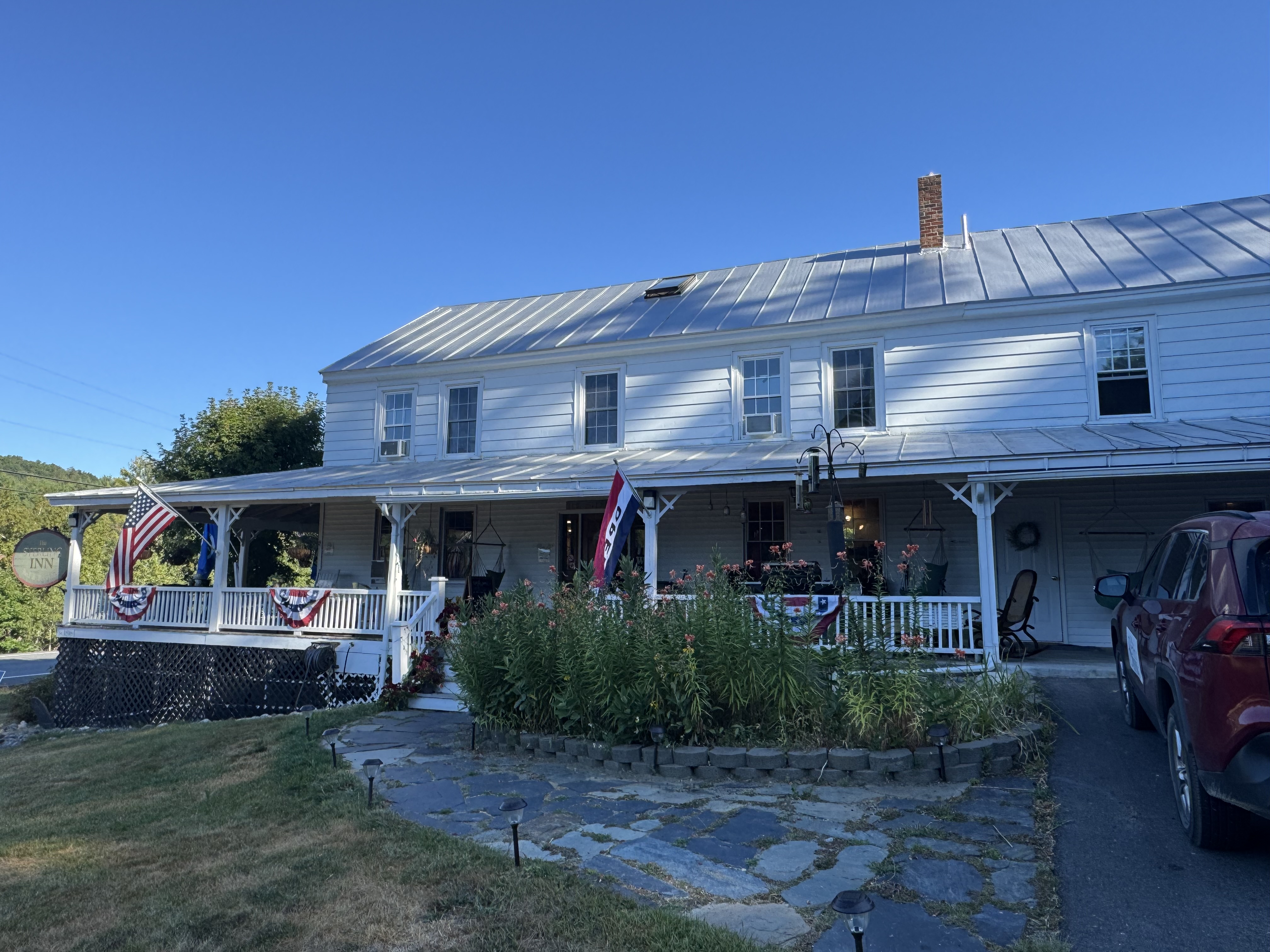
    The Sterling Inn, Caratunk Maine

    Had lunch at hostel and did a bunch of chores. Finalized our hiking plan for the next 12 days. Made hostel and shuttle reservations in Milinocket. All we need to do yet is schedule our resupply drop into the Hundred Mile Wilderness (HMW) on day 5 of our HMW trek.

    I also changed the display on my watch to show fewer fields but in a bigger font while hiking. Old age sucks!

    We are all resupplied and packed for tomorrow. Got 14.7 miles with one medium sized mountain mid-day.

    Went to dinner at the rafting adventure place a few miles up the road with Antlers and Perfect Day. Back to hostel and had a long call with Pitcrew. 

    About 8 of us hung out in the hiker lounge and chatted until 8:30. Very nice social evening. 

    Technical Notes:

    • Pop tarts 360
    • Payday 240
    • Dr Pepper 150
    • Hot pocket x2 720
    • Frozen pizza slice 500
    • Hershey bar 210
    • Meatloaf and mashed potatoes 1000
    • Beers x4 800
    • Water liters 1
    • Miles 5.93
    • Time 2:30
    • Up 318
    • Down 925
    • Calories consumed 4000
    • Calories burned 910
  • Day 8 – West Carry Pond Lean-To to Pierce Pond Lean-To

    Day 8 – West Carry Pond Lean-To to Pierce Pond Lean-To

    Tuesday, August 19, 2025. Up at 6:45. Clear and cool. 

    Short day today. Just 10 flat miles. Would go further but the ferry closes at 1:00pm, so we are limited. Should be an easy day and guesstimating at camp by 2:30.

    On trail (mile 2033.1) at 8:15.

    Ran into Antlers at West Carry Pond. Fair number of vacation homes across the lake.

    West Carry Pond
    Sign for The Great Carrying Place

    Crossed several boardwalks over boggs today.

    Boardwalks and Boggs in Maine
    Ed on the boardwalk in Maine

    Reached the beach of East Carry pond at 10:00.

    Beach at East Carry pond

    The trail hugs the pond for about half a mile.

    Appalachian Trail on the shores of East Carry pond

    Stopped for a snack at Scott Road at 10:50. Road is owned and maintained by The Scott Paper company which owns huge swaths of land in the area.

    Tedious but easy hike the rest of the day.

    Arrived at Pierce Pond (mile 2043.1) at 1:15. Made it in 5 hours flat. Great campsite right on the pond.

    Pierce Pond
    Camp on the shores of Pierce Pond
    Chuck’s tent at Pierce Pond

    Late afternoon nap with the sound of rushing water from the river in the background, sun and breeze seeping into the tent, and the lake-view just 15 yards away. Wonderful!

    Antlers is in the shelter, Flash and Crash are tenting up the hill, some weird angry lady tenting by the shelter, and a young NOBO in the shelter. Limo Bean arrived about 5:00. She had a long hard day. Another young pair of NOBOs is tenting someplace close by. There are only a few good tent spots by the pond and we got them early:)

    We have a bunch of logistics to figure out tomorrow including our shuttle back to the start oh the hundred mile wilderness from Millinocket.

    Had dinner by the shelter with Limo, Antlers, a different Lady Bug and two others. 

    Now that there is a damn good bear hang!

    Good bear hang at Pierce Pond

    In bed and reading at 7:00.

    Day 8 Map – West Carry Pond Lean-To to Pierce Pond Lean-To

    Technical Notes:

    • Pop tarts 360
    • Fig bar 200
    • Fatty sausage 300
    • Crackers 190
    • Ramen 380
    • Tuna 70
    • Pop tarts 360
    • Fritos 300
    • Water liters 2.7
    • Miles 10.15
    • Time 4:55
    • Up 883
    • Down 1076
    • Calories consumed 2160
    • Calories burned 1633
  • Day 7 – Safford Notch Campsite to West Carry Pond Lean-To

    Day 7 – Safford Notch Campsite to West Carry Pond Lean-To

    Monday, August 18, 2025. Up at 6:30. Sunny breezy and high of 65. 

    Packed up and on trail (mile 2020.5) at 8:10.

    Here is a map view to put our location in context. We are the big blue dot.

    Maine Map

    First 3.7 miles are uphill but easier than the past several days. Once we pass Bigelow Ledges at mile 3.7 it will be mostly 9 miles downhill.

    Stopped for second breakfast at 10:00. Still more views of sugarloaf. We have hiked in a half circle and are directly across from the Sugarloaf summit, which we hiked past 2 days ago.

    Sugarloaf mountain and ski runs seen from the Bigelows

    Flash stopped and asked if we had seen Crash. She took a phone call and he hiked on. A little worried that she had not caught up to him yet as he is slow. She decided to backtrack and try to find him. Odd.

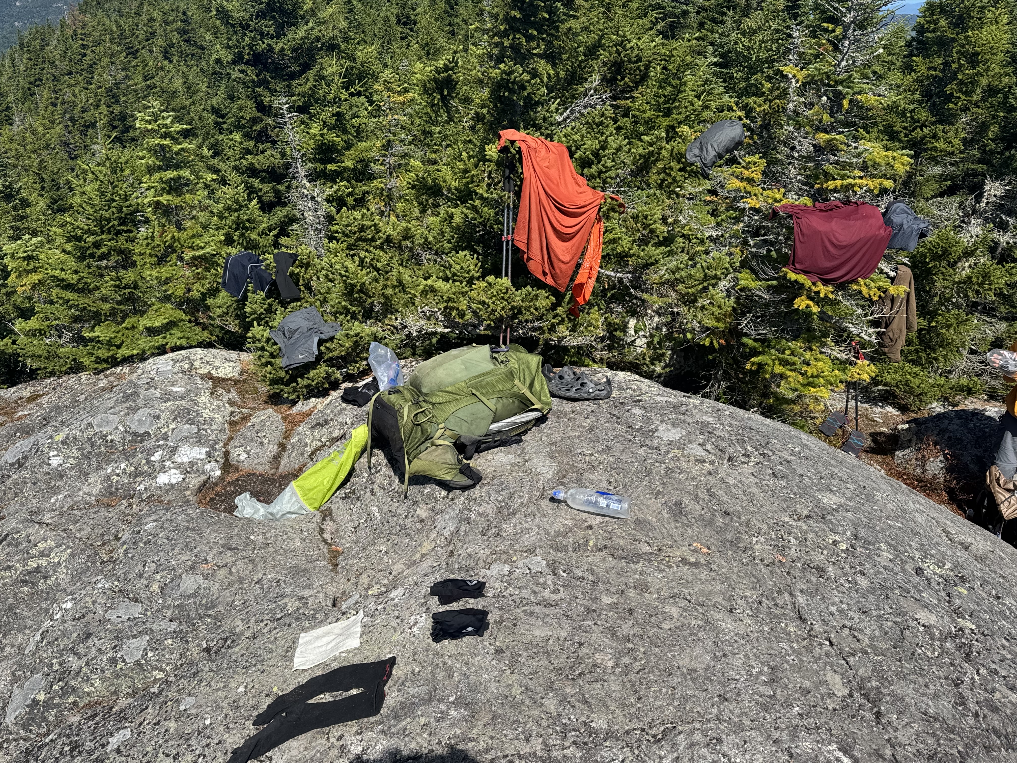
    Reached the Bigelow Leges at 11:00. Highest point of the day. It’s cool but sunny and breezy, so we are trying to dry our clothes from yesterday. Just hiker trashing up Mother Nature.

    Drying gear on Bigelow Ledges

    YouTube video of Bigelow Ledges.

    Flash and Crash stopped to say all was well. He got off trail to use the potty and she must have hiked past him during his bathroom break. All’s well that ends well. 

    Clothes are mostly dry. Packed up and headed out at noon. We have 9 miles to camp. Guessing about 5:30.

    Stopped at little Bigelow lean-to at 1:00 for water. Quick stop.

    At 1:40 we crossed Flagstaff Road. Highly trafficked gravel road. This is where shuttles drop off a lot and there is a busy AT parking lot.

    At 2:00 we passed Flagstaff lake. Very choppy. Big lake!

    Flagstaff Lake, Maine

    Got water near Long Falls Dam road at 3:15. My feet are not happy but we have 3.4 miles to go.

    Made camp by West Carry Pond (mile 2033.1) at 5:15. There are 3 others here: Antlers, One Speed, and another guy. No cell service. Chatted with Antlers and One Speed while we had dinner. Antlers is an older guy sectioning to Caratunk and One Speed is thru hiking NOBO.

    Camp at West Carry Pond, Maine

    In bed at 8:00 and read for an hour or so. Cold night.

    Day 7 Map – Safford Notch Campsite to West Carry Pond Lean-To

    Technical Notes:

    • Pop tarts 360
    • Fig bar 200
    • Zero sugar sausage 200
    • Fig bar 200
    • Ramen x 2 760
    • Tuna x2 140
    • Fritos 140
    • Water liters 4
    • Miles 13.54
    • Time 9:06
    • Up 2930
    • Down 3793
    • Calories consumed 2000
    • Calories burned 3453
  • Day 6 – ME Rt 27 to Safford Notch Campsite

    Day 6 – ME Rt 27 to Safford Notch Campsite

    Sunday, August 17, 2025. Up at 6:00. Clear cool morning, rain on and off afternoon and evening.

    Hopefully we will get to camp after the afternoon rain and before the evening rain so that we can pitch our tents in dry conditions. Fingers crossed.

    Got shuttled to trail at ME Rt 27 (mile  2010.1by the hostel at 7:50. On trail at 8:05. I am carrying 4 liters of water as there is only one good place to get water the entire hike today.

    Trail sign to start the day at ME Rt 27
    Old 2000 mile marker

    Easy flat first 2 miles followed by steep dirt uphill for 1.4 miles. The next 1.5 miles was one big rock scramble. Not as bad as Saddleback on day 1, but a good workout.

    Stopped at a nice overlook at 11:00 to swap water and have lunch. We have .7 to the next lean-to where there is a pond where we can get water. Then a big steep climb 🙁

    Stopped at an amazing overlook. That is the pond where we will get water shortly. Horns Pond. The 2 peaks in the background are South Horn and North Horn.

    Looking down on Horns Pond with South Horn and North Horn peaks in the background.

    Reached Horns pond at 12:10. Lovely alpine pond. We got 2 liters of extra water as there is none for the next 6 miles and we have also some tough climbing to do.

    Horns Pond

    The weather finally turned to clouds and rain and strong winds right as we ascended above tree line on Bigelow Mountain West. Summiting a 4100 foot rock pile in that weather is not fun.

    Ed summiting Bigelow Mountain West
    Ed summiting Bigelow Mountain West
    Ed and Chuck at the summit of Bigelow Mountain West

    The rain and wind picked up as we went down from Bigelow West, crossed the saddle between peaks and ascended Bigelow Avery at 4062 feet. Visibility was about 50 feet and the winds were way over 25 mph.

    After that peak, we had a 2.3 mile steep  rocky slippery descent almost 2000 feet to camp. Rain and wind for 3 hours. We were soaked and cold when we finally reached camp.

    Got to Sanford Notch Campsite (mile 2020.5) about 5:00. Set up in drizzle by 5:30. Cold and windy and rain evening. At least we climbed down about 1500 feet unlike some of our friends from last night such as Lady Bug and Limo Bean. They are camping much higher up and it’s very cold and very windy up there. They are not happy based on their texts.

    I’m dry and have a good tent pitch, so I’ll be good for the night. Surprisingly we have 2 bars of cell service.

    Warming up and drying out at Safford Notch after bad weather day in the Bigelows

    An older couple, Flash and Crash, arrived just after we setup. They are section hiking to Monson. 

    Made a hot dinner in the tent vestibule. Hot food is very welcome at this point. Tried Good to Go dehydrated meals for the first time. Vegan but darn tasty. Added jalapeño tuna to fix that vegan issue.

    Cooking dinner in the tent vestibule in the Bigelows

    All ready for bed and blog entries written by 8:00. Will read for a bit and hopefully fall asleep soon.

    Day 6 Map – ME Rt 27 to Safford Notch Campsite

    Technical Notes:

    • Blueberry bread pudding 500
    • Coffee w creamer 80
    • Fatty beef stock 300
    • Trail mix 180
    • Fig bar 200
    • Good to Go Cuban rice bowl 570
    • Tina creations jalapeño 70
    • Fritos 300
    • Water liters 5
    • Miles 11.28
    • Time 9:00
    • Up 4541
    • Down 3776
    • Calories consumed 2300
    • Calories burned 4275
  • Day 5 – Zero in Stratton Maine

    Day 5 – Zero in Stratton Maine

    Saturday, August 16, 2025. Up at 6:00am. Beautiful morning!

    Interesting morning. We almost had to cancel the rest of the trip. Ed lost his wallet. We ransacked the hostel and the car that we used to shuttle back from the restaurant. No luck. We had about 5 other people search the hostel too. The restaurant does not open until 4:00 this afternoon. If it is not at the restaurant we will cancel the trip and head home so Ed can deal with all the issues associated with canceling all his credit cards. It’s also a bad idea to hike with your head not 100% in the game. 

    I went with the “second set of eyes” concept and took a Quick Look into the trash compactor bag Ed keeps his gear in to stay dry. Guess what I found! Ed was certain he had not even opened that bag after we got back from the restaurant last night. He must have stashed his wallet in there just before going to bed. 

    By the time we got everything worked out, all the morning shuttles had left for a long distance drop off and we would not get on trail until at least 10:00am. Plus the stress of all the fun and games this morning, our heads are not in the right place. Given that we are taking a zero. There are a bunch of folks zeroing today including Toni, Lady Bug, Limo Bean, and Spiderman. Plus the staff here are wonderful. Really good sociable group of people. Classic AT social scene.

    This gives me a chance up upload 5 days worth of blogs and take care of some chores. All’s well that ends well!

    Video chatted with Pitcrew. This is the last reliable cell service for 4 days. 

    I made a hostel reservation for us in 4 days at the Sterling Inn. We got the last private room! I stayed there last year. It is a really nice place and it is under new ownership this year. Even more hiker friendly than in the past based on their updated website and feedback from Lady Bug. She was there 4 days ago.

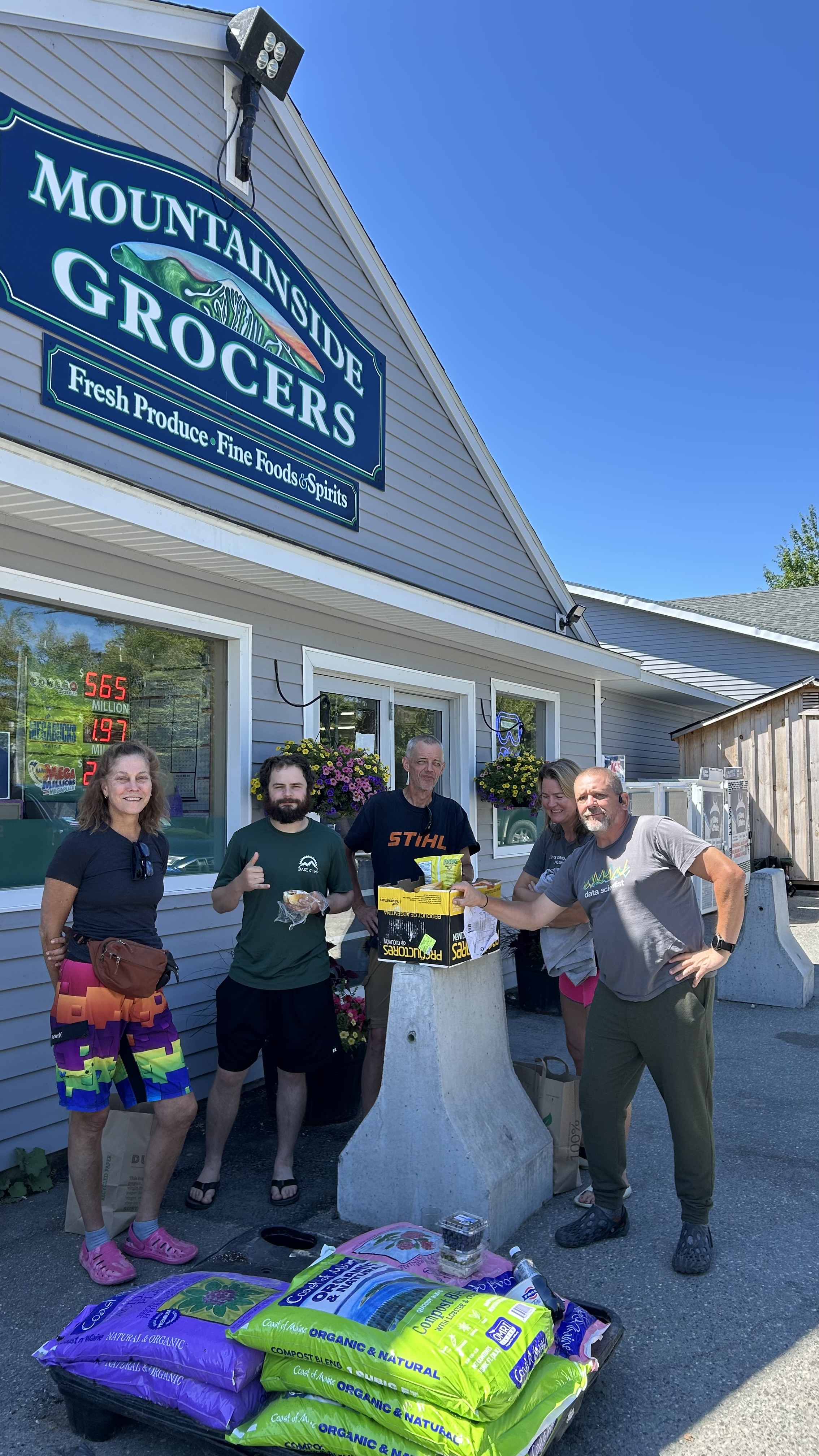
    We all went to the local grocery store and got lunch and food to grill at the hostel tonight. While we were waiting for the shuttle we were swapping stories and Lady Bug realized that she and I met and hiked together last year! We were at the Hikers Welcome hostel together and slacked Moosilauke together on my day 145. Small world! That’s Lady Bug in the middle.

    Limo Bean, Chuck, Lady Bug, Spider-Man, Ed getting groceries in Carrabassett Maine

    Ed, Spiderman, Lady Bug, and I played The Oregon Trail over lunch and generally chatted.

    Chuck, Spiderman, Ed, Ladybug playing The Oregon Trail on a zero day at the Hostel of Maine

    Got 5 days worth of blog entries created. I hate managing all the photos on my iPhone. Tedious! I’ll add some of the pics Ed sent me once I get home and have a real computer to edit with.

    Had a nice cookout with Ladybug and Ed at the hostel. Followed by some nice conversations with the owners.

    Chuck, Ed, and Ladybug having dinner at The Hostel of Maine

    In bed at 9:00. Early morning.

    Technical Notes:

    • Zero day … no counting
    • Water liters 0
    • Miles 0
    • Time 0
    • Elevation gain 0
    • Calories consumed 
    • Calories burned