
Today’s Miles: 13.5
Trip Miles: 1998.2
“Well, it’s okay, it’s so nice
It’s just another day in paradise
Well, there’s no place that I’d rather be
Well, it’s two hearts and one dream
I wouldn’t trade it for anything
And I ask the Lord every night, ooh
For just another day in paradise” – Phil Vassar
Up at 6:15. Had breakfast with hostel owners, then drove to the trail at 7:30. On the trail at 8:00.
Mostly sunny, mid-50s.
Stopped at Piazza Rock Lean-to at 1.8 miles to use the privy. Nice shelter. Ran into some folks I met at Pine Ellis Hostel. Back on the trail at 9:05

Stopped for a second breakfast by Eddy Pond at 10:10 and 3.8 miles in. I have the big 2-mile climb up Saddleback Mountain right after this.
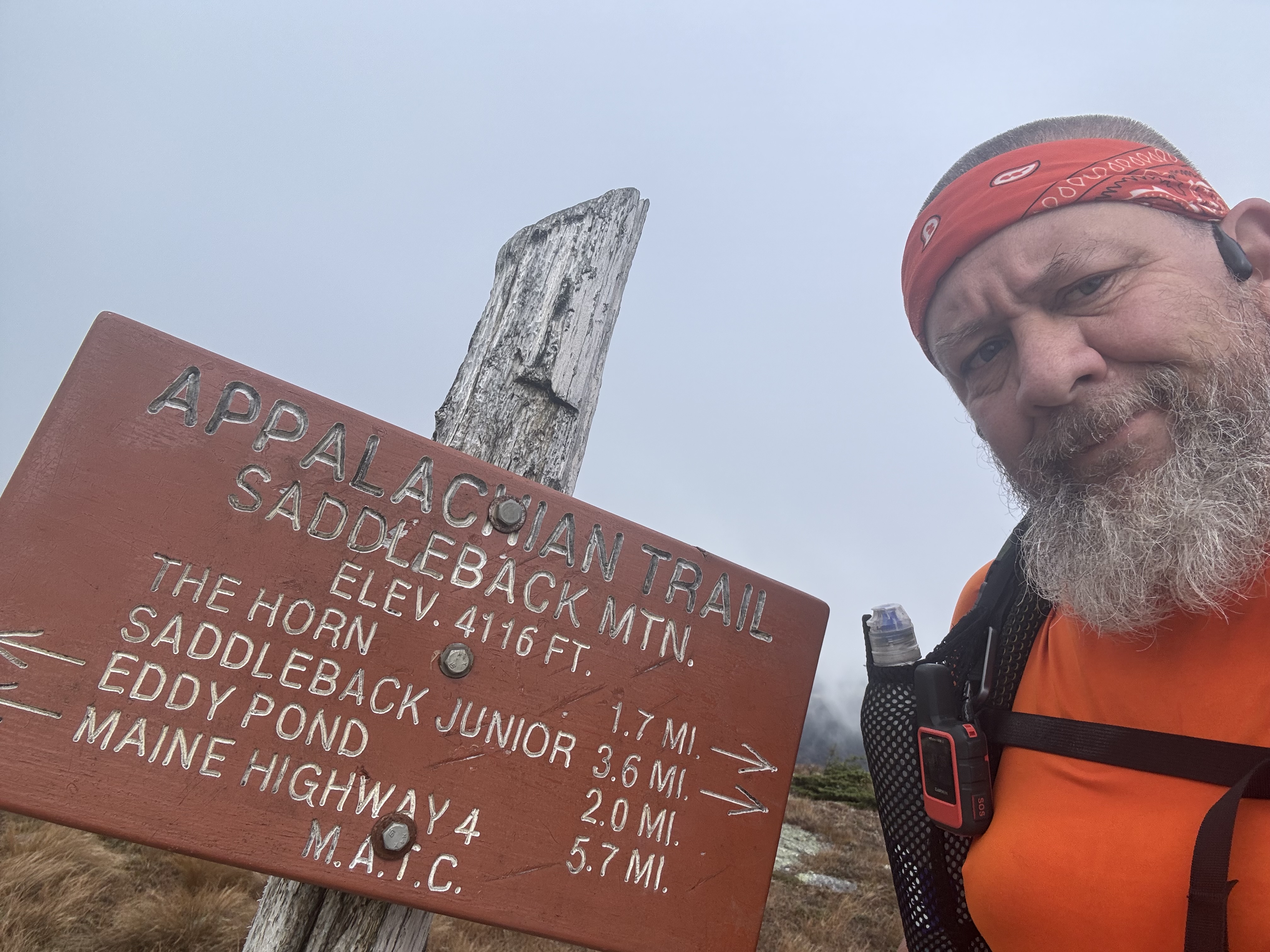
Summited Saddleback at 11:35 in clouds and cold.

YouTube Video 360 from Saddleback Mountain
YouTube video a second view from Saddleback Mountain
Now I go down and across the ridge and up to the summit of The Horn.

Summited The Horn at 12:45.


Summited Saddleback Junior at 2:10.

Reached Poplar Ridge Lean-to at 3:00 and 10.7 miles. Knees are tired, but I’m pushing on 2.7 more miles to Sluice Brook Logging Road. It’s too early to stop, plus it will make tomorrow shorter.

Stopped to fill up on water at 4:40. The logging road is only .1 miles away, but this might be the last water.

Made camp at Sluice Brook Logging Road at 4:55. No cell. Two other people are camping on the road as well. Nice brook right across the trail. Very nice spot. Made dinner at 5:45. Gonna be chilly tonight.


Interesting fact about part of my hike today and where I am tenting tonight. The Navy’s Survival, Evasion, Resistance, and Escape (SERE) School has a field training area that straddles the AT. They particularly like to use it in the winter according to locals. In the photo below, the heavy red line is the AT and the red hashed area is the SERE training area.


Technical Notes:
- Bagel with butter 500
- Oreo 160
- Cheese crackers 260
- Snickers 440
- Figs 500
- Sausage 165
- Salami 300
- Ramen 370
- Dehydrated chicken 170
- Pop tart 370
- Water .7
- Miles 13.5
- Time 9
- Elevation gain 4284
- Calories consumed 3200
- Calories burned 6700
Leave a Reply