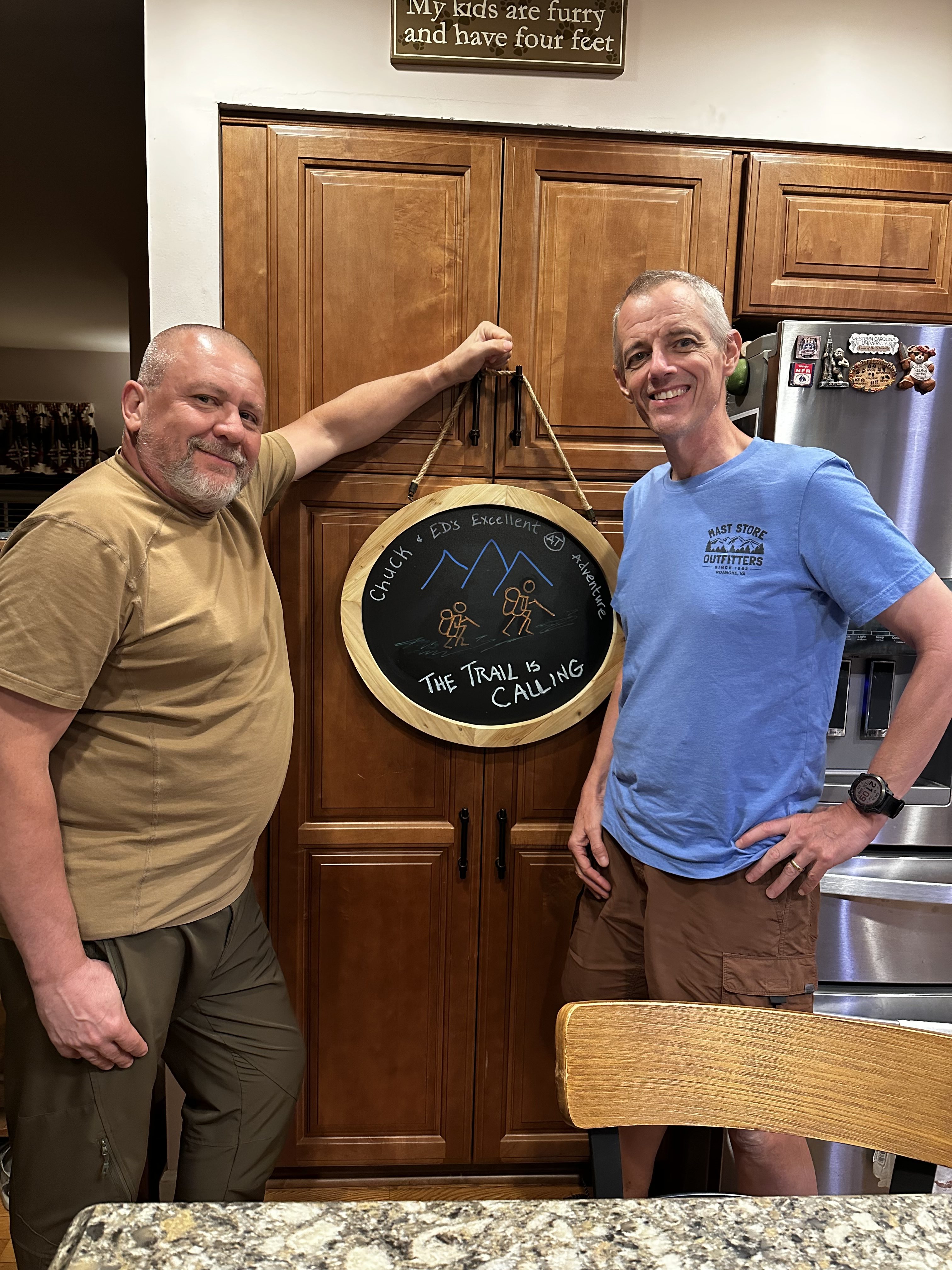
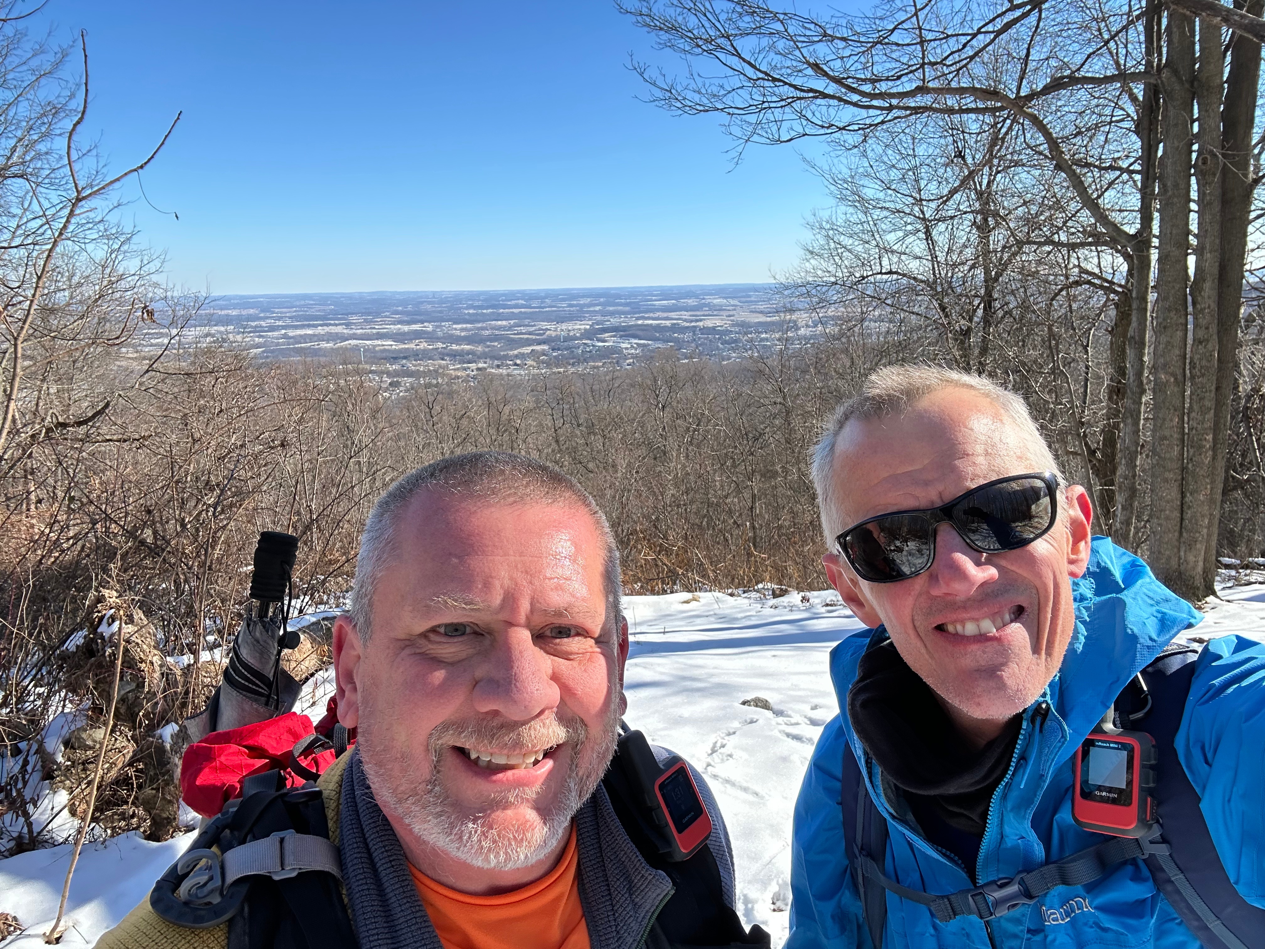
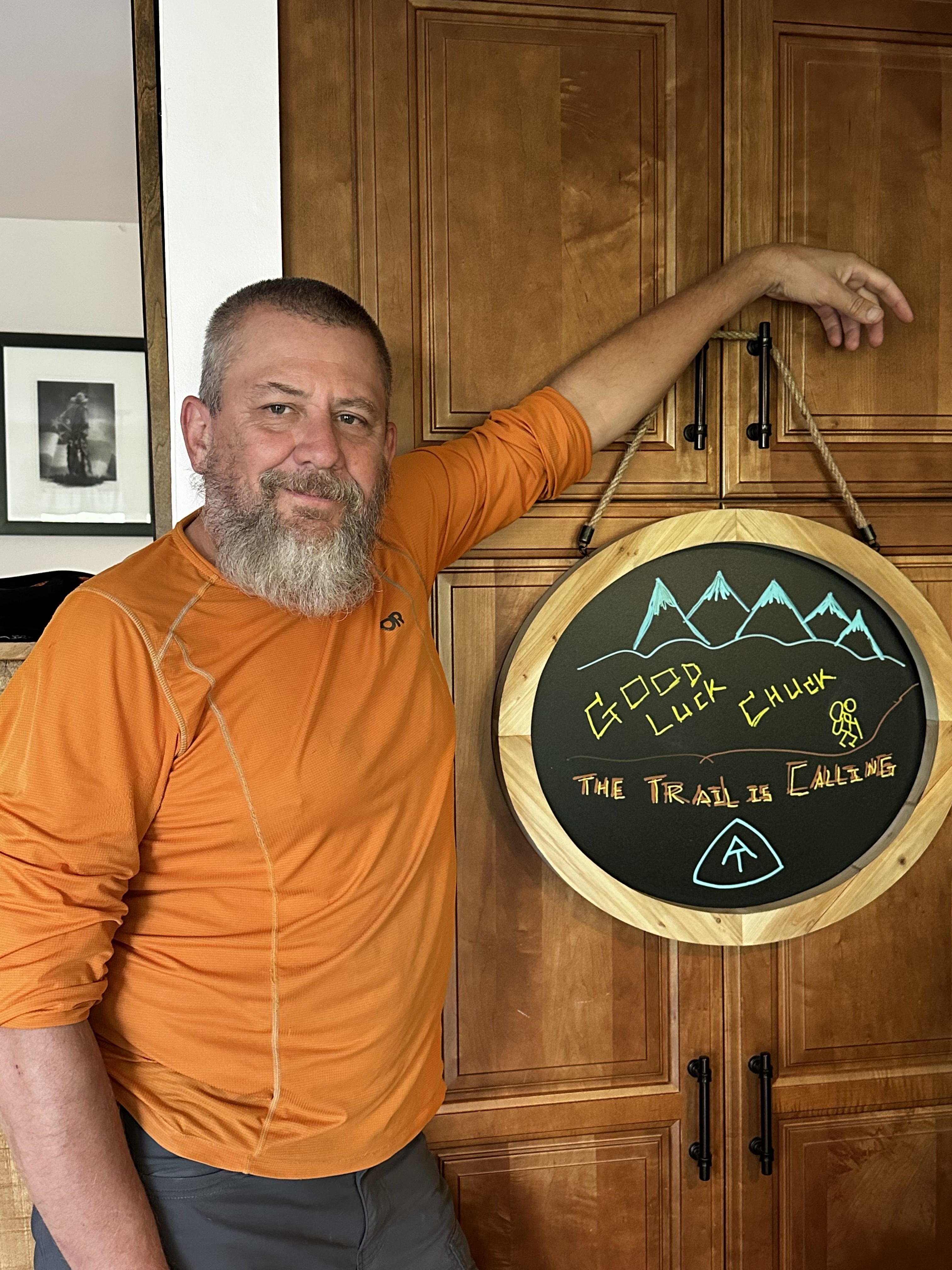
Sunday, April 27, 2025. Sunny, low 46, going up to 70.
Up at 7:00. Had coffee with Ed at home and took care of a few chores. Drove to my favorite diner in Frederick. I got a big breakfast. Headed to Harper’s Ferry at 9:15. Said goodbye to Dana (aka Pitcrew) and hiked on the trail at 9:50.
Nice, cool, breezy day. First several miles is a good solid uphill climb. Took a mid-day break at 12:50 and mile 6 at Route 9 Keys Gap. Ed made a furry friend while we rested.
Ed and a friend at Key’s Gap, WV
Stopped at David Lesser shelter for a brief break at 2:35. Ed enjoyed the view and the big swing.
Ed on the swing at David Lesser shelter
We arrived at Blackburn Trail Center at 4:45. Nobody else here so far. Ed and I took one set of bunk beds in the hiker cabin for tonight.
Cabin at Blackburn Trail Center
Got our beds made up, hung up a clothesline to dry out our sweaty shirts and bandannas, and got nice, cold potable water from the well. Relaxed in the rocking chairs on the porch for a bit.
Blackburn Trail Center
We made dinner at 6:30. It was a little early, but it’s getting chilly. Met the caretaker and chatted for a bit. She also thru-hiked last year.
Headed to bed to read and stay warm at 8:30. Good first day on the trail.
Day 1 Map – Harpers Ferry to Blackburn Trail Center
It is almost time to leave home for a month. It has been a very busy last two weeks. I let a TON of household chores and repairs pile up since BEFORE my thru-hike started last year. I basically spent the last two weeks catching up on an 18 month backlog of chores as well as getting me, my gear, and the household ready for me to disappear for a month with Ed on the AT.
I am as ready as I can be. Physically, mentally, and logistically. I wish I had trained more, but nothing I can do about that at those point. The last thing I had to do was get this new blog ready for the trip. I will send the blog links out to people later this evening.
The weather looks good for our first 4 days on trail. We will hit some thunderstorms on day 5 as we get into Front Royal, VA. And it looks like we will get rained on the first day into Shenandoah. But the temperatures look good (mid 70s to low 80s). I was REALLY hoping for good weather on the first day. That first day is a mental challenge to begin with, and the last thing we needed is rain on top of everything else.
I am looking forward to this trip. Both the hike in general as well as catching up with Ed. We have not seen or talked to each other much in the past 25+ years even though we were very close in college as well as for the first few years after. Nothing bad, just life and all that.
I am curious to see if I embrace this hike the same way I did my thru-hike last year. Having a hiking partner will make this trip much more enjoyable and less stressful. I know that from past experience. I hope this goes well since, as Dana likes to remind me, my job in retirement is hiking! I also need to shake the post thru-hike blues that I have been having for the past many months.
I am very curious to see how much weight I drop on this one month trek. I am guessing / hoping for about 12 pounds. And I WILL NOT put it all back on after this trip!
Dana will drive Ed and me to Harpers Ferry in the morning. The plan is to stop at one of my favorite diners for a big breakfast and to be on trail by 9:30. We have either 10.5 or 12.1 miles to go tomorrow depending on how we are feeling. The first 3 miles are VERY uphill, but it chills out a bit after that. Unfortunately there is no water along the way unless we take a .4 mile road walk to a gas station convenience store around mile 6. I did that last year. Makes for a nice mid-day break for food and drink. Stay tuned to see how that goes !
One last thing to mention. I want to give a big shout out to Dana and Lisa for supporting me and Ed on this hike. We can’t do these long distance hikes without support from our partners and spouses. These trips can also be challenging for the loved ones we are leaving at home. Thanks very much ladies and we will see you again in late May!
Ed and I have been planning and prepping for our upcoming hike from Harper’s Ferry SOBO (south bound) to Roanoke for many months.
This is Ed’s first long distance hike since he hiked with his son at Philmont many years ago. I have been a bit lazy this past winter and did not get nearly as much hiking in as I normally do. I blame my lack of motivation on post thru-hiking depression. Yes, that is a real thing.
Assuming this hike goes well, Ed and I are planning to thru-hike the Colorado trail together in August and September of this year. Fingers crossed that we all do well both physically and mentally on the AT and that the Colorado Trail becomes a reality.
Both of us have been doing day hikes with our full packs for the past 2 months to try to get ready for our hike. Ed has been much better about this than me. I think I still have some decent lower body strength from my thru-hike last year, but I have not trained as well for this hike as I did for my thru-hike. Given that we are both old men (some of us are older than others), we are going to take our time and try to keep mileage to around 11 miles for the first 10 days, and then build up to roughly 15 mile days….with a few exceptions.
I am hiking with the exact same gear as I did on my AT thru-hike last year with two changes. First, I am not carrying the iPad mini (11 ounces) that I used to do all my blogging with last year and that I used as a book reader. I am going to try to do all my blogging and book reading on my iPhone. We will see how well that smaller screen works for me. Second, I have switched to an even bigger and heavier backpack than the Osprey Atmos 65 that I carried last year. That pack was pretty beat up after my thru-hike, plus I want to try a backpack that will let me carry a large bear can horizontally in the pack. I have switched to a Deuter Aircontact 65 + 10 backpack (5.16 lbs) for its volume and beefy suspension. This pack is about half a pound heavier than what I used last year. I originally planned to carry my Bear Vault BV500 on this hike since I will have to carry that in Colorado later this year. However, my lack or training got the better of me and I decided to not carry the extra 2.5lbs of weight on this trip. My poor back just was not up for it. Overall, 34.4 lbs including about 1lb of extra snacks. I should leave that extra pound behind, but what the hell.
Ed and I will be hiking through the NOBO AT bubble at some point. I was intentionally hiking behind the bubble last year. Very much so by the time I got to NH and ME in September. Hiking through the crowded bubble will be interesting. The number of thru-hikers is down quite a bit this year, but I still expect to deal with crowded camp sites at some point. We should run into the bubble between Shenandoah and Roanoke.
I am really looking forward to the week that we will be in Shenandoah National Park. Last year when I hiked through Shenandoah, it was over July 4. That meant it was VERY crowded with tourists and it was incredibly hot and humid. Upper 90s and insane humidity! Plus we were in the middle of a bad drought. This time, the high temperatures should be in the mid 70s to low 80s with “normal” humidity. Plus the kids are not out of school yet, so the tourist crowds should be minimal.
My partner Dana has been encouraging me to do this hike as well as the Colorado Trail or other long AT section hikes this year. She understands how un-motivated and generally “blah” I have been for the past several months since I finished my AT thru-hike in October. Thanks for all the encouragement and support sweet heart!
Up at 7:30. Packed up and got my backpack into the duffel bag Dana sent me. Shuttled to the airport at 8:45.
Duffle bag for the flight home
Drove from Millinocket to Bangor. I-95 in northern Maine is just a bit less busy than in the mid-Atlantic!
I-95 heading from Millinocket to Bangor
Got to Bangor International airport at 10:00. Nice little airport. Got checked in and had breakfast before heading through security.
Had a nice text conversation with Mike, my hiking partner from early on in GA and NC. He saw my facebook post about summiting yesterday
Had a couple hours at the airport to wait for my flight. Wrote up yesterday’s Summit blog entry.
Flew over the Francis Scott Key bridge and got a great view of the missing bridge section from the plane.
Collapsed Francis Scott Key Bridge on flight home
It felt so strange walking through Regan airport. All this civilization!! This was my last walking part of my AT adventure. Very mixed emotions.
Landed at Regan National
Dana met me at baggage claim and we just stood there and hugged for what felt like an hour. The drive home was very strange. I had not been in a a big town or seen this many people or buildings in six months.
And it was still green in Maryland. I just came from the land of vibrant fall colors and leaves dropping off trees.
The dogs were happy to see me, sort of. Pen was very excited and hyper. Sky was not sure what to think. She just looked at me and tentatively said hi.
It is good to be home. I cant believe I have been away for HALF A YEAR.
Now I need to figure out how to reintegrate myself into normal life.
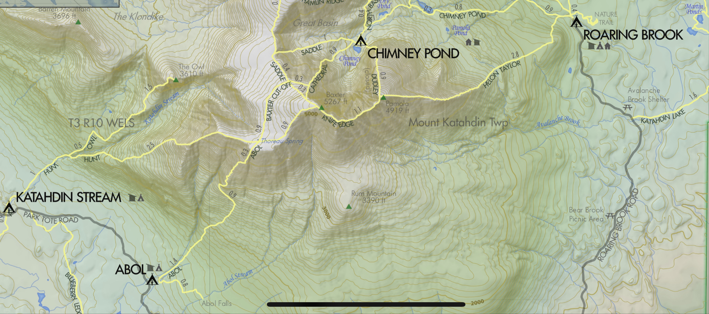
Up at 4:00 a.m. Shuttled to Baxter Park entrance at 5:30. Huge line to get in. Tons of people without passes attempt to get in. At 7:00, anybody who has not shown up that had a reservation forfeits their reservation. Everyone gets a chance at the forfeits one at a time.
Today the line is particularly long due to bad weather yesterday and more bad weather after today. We got in the park gate at 7:00 to drop off only and not park. That was not a guarantee.
I had a backup plan that would have me hike in from Abol Bridge and then hike 5 miles up Blueberry Ledge Trail to get to the start of the Hunt Trail. Would have made a long day, but it was a guaranteed plan.
Foggy, mid-40s at base, not getting above 41 at the summit.
We arrived at Katahdin Stream Campground at 7:10. Got registered with Ranger Don and headed out on trail at 7:25.
Ranger Station at Katahdin Stream CampgroundOrange Man’s Katahdin RegistrationWelcome to Katahdin StreamHunt Trail to Katahdin Summit
Very, very hard ascent. First 3 miles are below tree line and gradually get very steep near tree line. About 2 miles of incredibly steep nearly technical climbing from tree line onward. Crossed into the fog and clouds a little before ascending above tree line. Then a long ridge walk sloping upward to the summit of Katahdin.
Steep rocky trail below treeline on KatahdinMoving above treeline on KatahdinTechnical climb near summit of KatahdinTechnical climb near summit of KatahdinVery difficult and dangerous climb up KatahdinTechnical climb near summit of Katahdin
I reached the summit of Katahdin about noon. There were a lot of people summiting today. One decent weather day sandwiched between rain days. It was very windy and cold. The sun was slowly trying to burn through, but not being very successful.
Polar and 23 were already on the summit when I got there, and the cousins, Newt and Glass, arrived about 5 minutes after me. The official summit is the big rock cairn.
Polar, 23, Newt and Glass at the summit of KatahdinOrange Man at the summit of Katahdin
We waited our turn to get our pictures taken at the famous Katahdin sign.
Newt and 23
Newt and 23 on the Katahdin Sign
Newt
Newt on the Katahdin Sign
Glass
Glass on the Katahdin Sign
The Cousins Newt and Glass
Cousins Newt and Glass on the Katahdin Sign
Polar
Polar on the Katahdin Sign
Me and The Rascals (Polar, Newt, 23, Glass)
Polar, Newt, 23, Glass, Orange Man on the Katahdin Sign
As we descended the long steep ridge from the summit to The Gateway, the sun finally came out and we got some good views.
Above the clouds on the Kathadin descentAbove the clouds on the Kathadin descentAbove the clouds on the Kathadin descentOrange Man on the Katahdin DescentAbove the clouds on the Kathadin descentAbove the clouds on the Kathadin descentSteep difficutl descent of KatahdinOrange Man on the Katahdin Descent
Getting down the mountain was also very hard. Very hard descent: 1.5 miles of super steep butt sliding and rock scrambling. Fell a couple of times.
Still another 2 miles of hiking after the nasty part back to the ranger station and parking area.
Finished the descent at 3:45. Met up with 23, Polar, Glass, Newt, and Polar’s parents at a picnic shelter and celebrated with candy bars and champagne!
Shuttled back to the hostel and had dinner. Then walked down to the saloon to have a few celebratory drinks with some of the other folks who summited today.
Celebrating our summit day at the saloon in Millinocket
Today was the hardest day on the trail. Harder than Lehigh Gap and harder than Mahoosuc Notch. If you slip on either the ascent or descent, you are going to get hurt very badly. That was scary and exhilarating all at once.
None of the emotions or mental retrospection or regrets have hit me yet. I’m surprised about that. I’m sure it will all hit me tomorrow.
I can’t describe how happy I was to summit with The Rascals. All the alone time in New England really gnawed on me. More on that in my upcoming Epilogue post.
Now I just have one more piece of this adventure. Getting home!
Rainy, cloudy, dreary day as forecast. Slept in. Uploaded blogs up to yesterday.
Heard from Polar. The Rascals are also in Millinocket due to weather and summiting Katahdin tomorrow. Hopefully, I meet up with them on the trail. Very cool.
Dana FedExed me a duffle bag I had at home. I will put my backpack and trekking poles in it for the plane trip home.
Confirmed my flight for Monday and a shuttle ride from the hostel to Bangor at 9:00 a.m. Monday. I’m all set!
Went to Scootic In Restaurant for dinner again at 6:00. Not really many choices. I need to be up at 5:00 a.m. I doubt I’ll be able to get to sleep until well after midnight. Oh well.
Ran into Shaggy and his dad, whose name I forget. Have not seen them since Waynesboro, VA! They are also summiting tomorrow.
Shaggy and his dad in Millinocket, ME
Got back to the cabin and was not able to sleep. I wonder why? All kinds of emotions and thoughts running through my head.
Up at 8:30. Packed up and worked on plans. Barry picked me up at noon and drove me about 2 hours to Millinocket, Maine. I’m flipping to Millinocket as it’s the northern gateway to the Hundred Mile Wilderness as well as Baxter Park and Katahdin.
I have been wrestling with my plans for finishing my AT adventure. After A LOT of thinking, I decided to skip the last 70 miles and flip up to Millinocket and summit Katahdin the day after tomorrow, Sunday. That is the only day until next Friday that it’s not supposed to rain.
Cutting 4 days off of my hike was an extremely hard decision. I’ve been thinking about this for the past week. The weather forecast was the thing that finally pushed me over the edge.
It is supposed to be in the mid-30s at the summit today and tomorrow with a dusting of snow Monday night.
Weather forecast for Katahdin
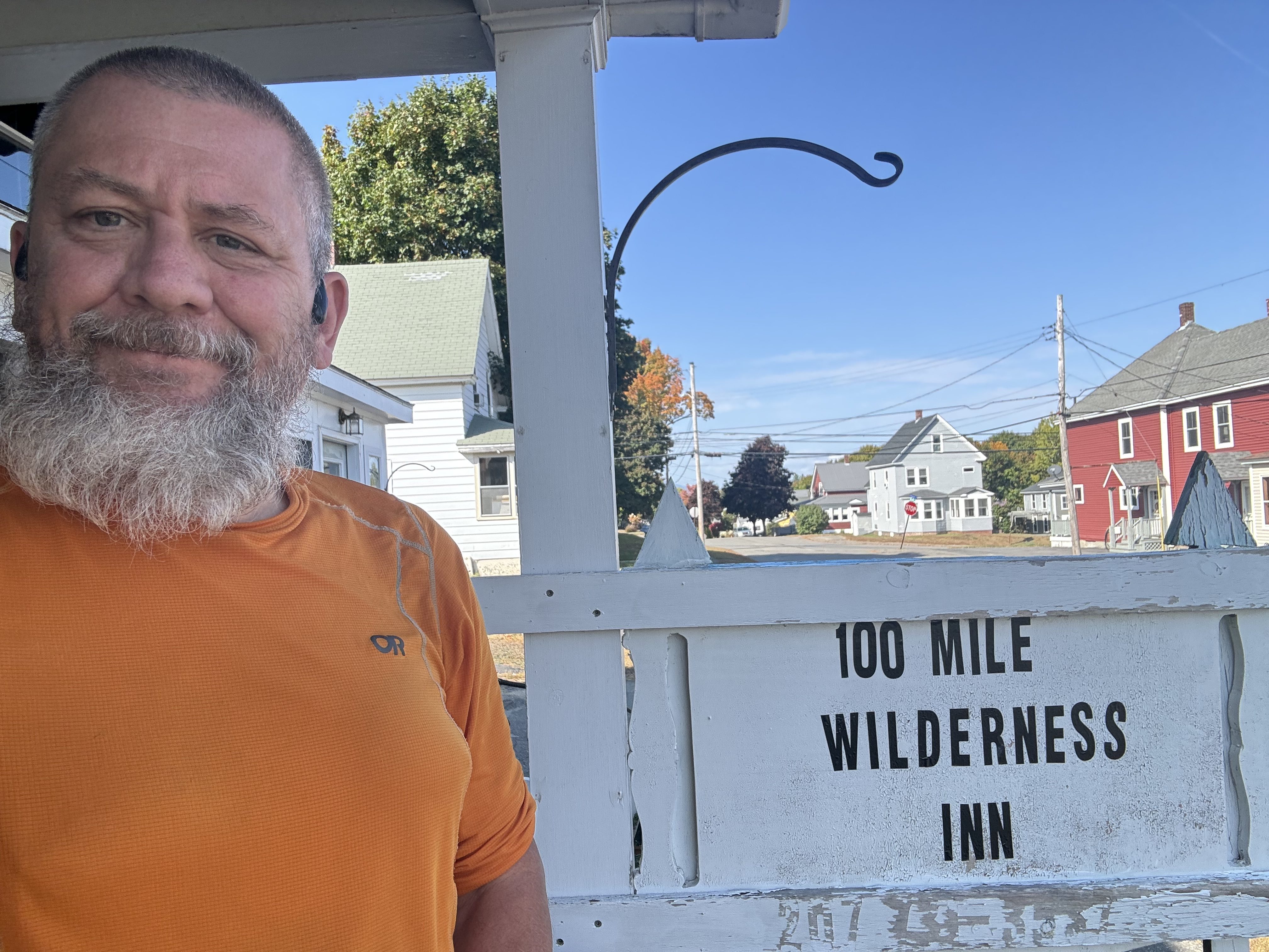
Got to the Hundred Mile Wilderness Inn about 1:30.
Hundred Mile Wilderness Inn in Millinocket. MEHundred Mile Wilderness Inn in Millinocket. MEHundred Mile Wilderness Inn in Millinocket. ME
Walked around town and picked up snacks at a local market. Had a good dinner at one of the two downtown restaurants, Scootic In Restaurant, at 6:30. Back to my cabin, talked to Dana, and watched a movie.
Heard from Legend. He summited the other day.
Legend summited a few days ago
Arranged a shuttle with the hostel to go to Baxter Park at 5:30 a.m. Sunday (day after tomorrow) morning to summit Katahdin. Only day it will not rain until Friday. Not the best weather for my summit day, but at least not actively raining.
Booked a flight home Monday, October 7, midday. Still need to arrange transport to Bangor, Maine airport Monday morning.
Up at 6:30. Had coffee and donuts. Barry picked me up at 7:00 and got me on the trail at 7:30. Had a 1-mile approach hike to the AT.
Cloudy and cool this morning. Going up to low 60s.
Tough climb this morning. This is my last big climb until I summit Katahdin. Woo Hoo!
Last big climb until I summit KatahdinNasty rocky rooty ascent in HMW
Hiked up into the clouds at 9:00. Still have 2 miles to the summit of Barren Mountain. Unfortunately, that means no view other than clouds from Barren Slide, which can have a spectacular view. Win some, lose some.
Hiked 5 more minutes to a set of rock ledges below Barren Mountain summit, and the sun burned through. I sat here for 15 minutes watching the clouds dissipate, very cool.
Hiked ups and downs and lots of mud and slippery rocks. Took one good fall. Finally got to a big bog at the base of Chairback Fourth Mountain at 12:15. Finished ascending after 20 minutes. Good workout, but plenty of switchbacks and rock steps.
Remains of a plane crash on Chairback Fourth Mountain just below the summit.
emains of a plane crash on Chairback Fourth Mountain
Up at 6:30. Had coffee and donuts. Barry picked me up at 7:00 and got me on the trail at 7:30. Had a 1-mile approach hike to the AT. I will hike back to the camp in Monson.
Overcast, humid, going up to low 60s.
Crossed Vaughn Stream waterfalls at 8:15.
Vaughn Stream waterfalls
Crossed a big old rock slide. Glad I’m going across it and not up it this time.
Big old rock slide in HMW
Stopped at Wilson Valley Lean-to for a snack at 10:00 and 5.5 miles in. Back on the trail at 10:20.
Forded a wide stream about knee-deep at 11:05. Water shoes to the rescue again.
Forded a wide stream about knee-deep in HMW
Little Wilson Falls
Little Wilson Falls in HMW
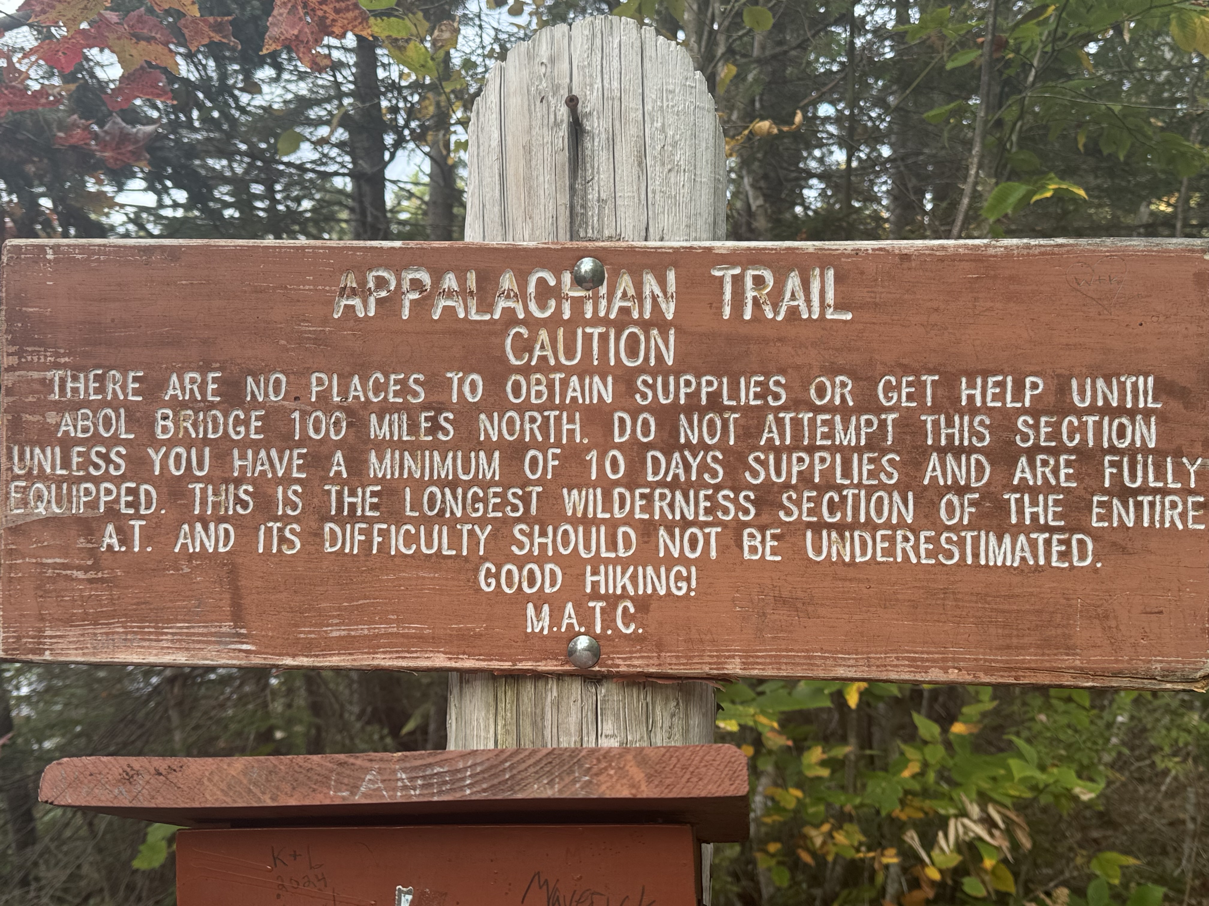
Welcome to the Hundred Mile Wilderness. Mile mark 2082.7. I’m just doing it a little backwards today.
Welcome to the Hundred Mile Wilderness
Barry picked me up and we stopped at the Monson store for supplies, then back to the camp.
Up at 8:00. Made coffee, ate some donuts, and started to work on my plans.
I felt good getting to Monson yesterday. But now that I’m planning out the Hundred Mile Wilderness (HMW), I’m feeling very anxious again. I’m tired of being this much on my own. I’m not seeing many people on the trail. Zero people yesterday. And I’m finally facing some rough weather over the next week. And did I mention how remote this part of Maine is?
Put together an initial plan for the first part of the HMW. I’m sure I’m overthinking it. Then I sat down with Barry from 100 Mile Wilderness Adventures (where I am currently staying) and worked through the first 4 days or 60 miles of the plan. We compromised on some things, and I now have a concrete plan for tomorrow (Wednesday) through Saturday. That gets me from mile 2082 to mile 2141 over 4 days. I have an initial plan for the remaining 58 miles, but I’ll firm that up at the 100 Mile Wilderness Inn in Millinocket, Maine, Saturday evening. A lot will depend on the weather. I don’t want to attempt the rock scramble up Katahdin in the rain if at all possible.
Barry ran me into town for a small shopping trip. Then back to camp. I reached out to the 100 Mile Wilderness Inn in Millinocket, Maine, to book a shuttle and room for Saturday. By that point, I’m much closer geographically to them, so it’s easier and cheaper to work out the very last 3-4 days of my adventure with them.
I’m slackpacking the next two days. I got my pack and food ready and planned out my shopping needs for Friday and Saturday. Will do that shopping Thursday evening.
Barry is picking me up at 7:00 a.m. tomorrow to go to the trail. I’ll be hiking about 16 miles SOBO back to where I am today. Sent Barry a test message from my Garmin as there is little to no ATT cell service in this area. He confirmed receipt. I guess I’m all set for tomorrow.