Tag: Appalachian Trail

  • Day 170 – Bald Mountain Pond Lean-to to Monson, ME

    Day 170 – Bald Mountain Pond Lean-to to Monson, ME

    Today’s Miles: 14.6

    Trip Miles: 2060.1

    “They say it’s your birthday

    Well, it’s my birthday too, yeah

    They say it’s your birthday

    We’re gonna have a good time

    I’m glad it’s your birthday

    Happy birthday to you” – Paul McCartney and John Lennon

    Up at 7:00. On trail at 7:50.

    Forded a stream. It was ankle-deep and cold.

    Horseshoe Canyon at 12:05. Watch that last step!

    Horseshoe Canyon

    Second ford of today at 1:30. Used my water shoes. Calf-deep.

    Using water shoes to ford a stream
    Gotta ford this stream

    Arrived at 100 Mile Wilderness Adventures at 3:25. I have a small private cabin. Remote but nice place. 

    100 Mile Wilderness Adventures in Monson, ME
    100 Mile Wilderness Adventures in Monson, ME
    100 Mile Wilderness Adventures in Monson, ME

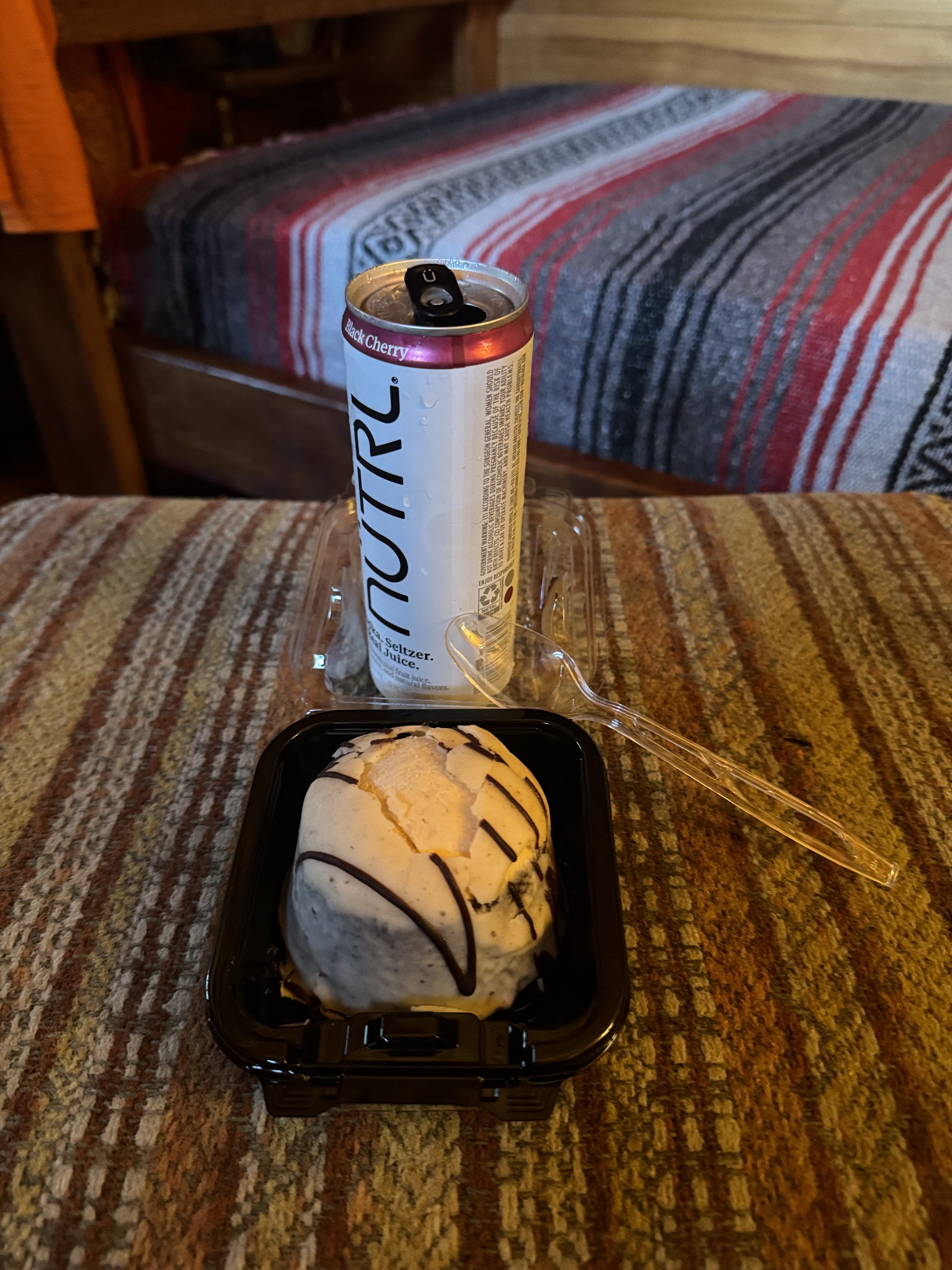
    Shuttled to Monson for a pizza and snacks and food for tomorrow. Splurging on serious junk food for my birthday today. Also, my new shoes were waiting for me. Birthday present!

    I have the entire camp to myself. Kind of creepy. Not a soul around. Getting that Jason Camp Crystal Lake vibe.

    100 Mile Wilderness Adventures in Monson, ME
    100 Mile Wilderness Adventures in Monson, ME

    Overall, I’m in a decent place. I have reached Monson, Maine, the start of the 100-Mile Wilderness. Tomorrow I need to plan out my trek through the 100-Mile Wilderness, my summiting of Katahdin, and my trip home. 

    I chilled out and watched some movies on YouTube this evening until about 10:30 p.m. I found out today that Kris Kristofferson died a few days ago. Now just Willie is left. In honor of Kris, I watched Convoy. There’s a bear in the air! 

    Day 170 Map – Bald Mountain Pond Lean-to to Monson, ME

    Technical Notes:

    • Pop Tarts 370
    • Snickers 250
    • Cheese Crackers 250
    • Oreo 220
    • Sausage 160
    • Snickers 250
    • Oreo 200
    • Fatty Sausage 190
    • Misc 5000
    • Water 1.7
    • Miles 14.6
    • Time 7:30
    • Elevation Gain 1287.1
    • Calories Consumed 7000
    • Calories Burned 6000
  • Day 169 – ME Rt 201 to Bald Mountain Pond Lean-to

    Day 169 – ME Rt 201 to Bald Mountain Pond Lean-to

    Today’s Miles: 18.4

    Trip Miles: 2045.5

    “I’m feelin’ okay this mornin’

    And you know

    We’re on a road to paradise

    Here we go, here we go

    We’re on a ride to nowhere

    Come on inside

    Takin’ that ride to nowhere

    We’ll take that ride” – Talking Heads

    Up at 6:50. Had breakfast at the hotel. Shuttled to the trail at 8:00. On the trail at 8:15.

    Clear and going up to 70.

    Stopped for a snack at 10:10 and 4.1 miles at Hangtown Road. 

    Reached Boise-Cascade Road at 10:47. Walked to a washed-out bridge about 2 hours further along.

    Washed out bridge on Boise-Cascade Road

    Reached the AT at power lines at 1:17.

    Powerlines crossing the AT

    Took a snack break at 1:46. Back on the trail at 2:00.

    Got to Bald Mountain Pond Lean-to at 4:45. No cell service. Set up a tent, got water, and made dinner. Trying a new dehydrated meal. It used a lot of water. We will see. 

    Three guys from two nights ago are here at the shelter again. Had a good talk with them over dinner.

    Meal choice sucked. Failed experiment. It was calories at least.

    In bed at 7:00. Long day. Feet hurt. Have not done 18 miles in a while ! Texted with the hostel in Monson earlier while I had cell. They should be expecting me tomorrow about 4:00. The hostel is about 1.5 miles outside town. Really wanted to be in town and off the trail for my birthday. 

    Day 169 Map – ME Rt 201 to Bald Mountain Pond Lean-to

    Technical Notes:

    • English muffin with butter 400
    • Oreos 120
    • Snickers 220
    • Sausage 160
    • Snickers 250
    • Cheese crackers 250
    • Oreos 120
    • Cuban rice and beans 1070
    • Dehydrated chicken 170
    • Fritos 500
    • Chips 750
    • Water .7
    • Miles 18.4
    • Time 9
    • Elevation gain 4171
    • Calories consumed 4000
    • Calories burned 7000
  • Day 168 – Pierce Pond lean-to to ME Rt 201

    Day 168 – Pierce Pond lean-to to ME Rt 201

    Today’s Miles: 5

    Trip Miles: 2027.1

    “The legend lives on from the Chippewa on down

    Of the big lake they call Gitche Gumee

    The lake, it is said, never gives up her dead

    When the skies of November turn gloomy

    With a load of iron ore twenty-six thousand tons more

    Than the Edmund Fitzgerald weighed empty

    That good ship and true was a bone to be chewed

    When the gales of November came early” – Gordon Lightfoot

    Up at 7:00. Very short day, so I’m in no rush. On trail at 8:35.

    Mid 40s going up to mid 60s. Partly cloudy.

    Outflow from Pierce Pond
    Outflow from Pierce Pond

    Reached the Kennebec River about 10:30. The trail crosses the river and the canoe ferry takes you across. There is a white blaze on the canoe. Very iconic part of the AT adventure. Dana and I have watched countless videos of this canoe crossing. So cool to actually make the voyage myself.

    Kennebec River
    Kennebec River Warning Sign
    Ferry across the Kennebec River

    Once I got to the other side of the river, I walked down Route 201 a quarter mile to get coffee and a sandwich. Guess who I ran into? Overkill was sitting there finishing her beverage. Six of us shuttled the mile from here to the Sterling Inn for a Nero. 

    Road walk down Route 201
    Overkill at coffee shop on Route 201

    Checked into the Sterling Inn about 11:15. Nice little Inn with laundry and a great resupply store. Neroing today. Need shower and laundry badly. Well over a week without laundry. My clothes and I stink.

    Sterling Inn

    Talked to Dana for a while. Then did a few blog updates and worked on logistics for the next week or so. Still need to plan my route home. 

    Shuttled up the road at 5:00 to the Kennebec River Brewery for dinner. The shuttle will bring us back at 7:00. Full breakfast in the morning is included. We will probably head to the trail at 8:00.

    Day 168 Map – Pierce Pond lean-to to ME Rt 201

    Technical Notes:

    • Pop Tarts: 370
    • Snickers: 220
    • Dr Pepper: 150
    • Sausage egg bagel: 710
    • Latte: 300
    • Root beer: 160
    • Root beer: 160
    • Salami: 100
    • Fatty beef stick: 190
    • Misc: 2500
    • Water: 0
    • Miles: 4
    • Time: 2
    • Elevation gain: 183
    • Calories consumed: 4800
    • Calories burned: 1500
  • Day 167 – Long Falls Dam Road to Pierce Pond lean-to

    Day 167 – Long Falls Dam Road to Pierce Pond lean-to

    Today’s Miles: 13.5

    Trip Miles: 2022.1

    “My Nashville friends, they think I’m strange

    To make my home out on the range

    They think it’s nothin’ but a God-forsaken land

    Why don’t you bring your guitar and family, move on down to Tennessee?

    Well, I just smile ’cause they don’t understand

    But if they ever saw a sunrise on a mountain mornin’

    And watched those cotton candy clouds go by

    Then they’d know why I live beneath these western skies” – Chris Ledoux

    Up at 7:00. Finished packing and made coffee at the hostel and had breakfast while waiting for my 8:30 shuttle. On trail at 9:20.

    Foggy, low 50s, humid. Going up to mid 60s and partly cloudy.

    Stopped at West Carry Pond Lean-to for a snack at 11:00 and 3.5 miles. It’s muddy and slippery out here from the heavy rain yesterday mixed with all the leaves. Fairly flat most of the next few days. Making good time.

    West Carry Pond Lean-to

    Hiked the perimeter of West Carry Pond for a few hours.

    West Carry Pond
    West Carry Pond

    Crossing a swamp at 12:15 and 5.7 miles.

    Swamp after West Carry Pond

    Short logging road walk to a crossroads.

    Trail crossroads in Maine

    YouTube Video of hiking in northern Maine

    Got to Pierce Pond Lean-to at 3:30. About 5 tents already set up. Lots of weekend hikers. Found a so-so tent spot. 

    I’m already fed and in my quilt at 5:00. Not used to being done this early. It was 13.5 miles today, but only took 6 hours as it’s very flat. First time I’ve had flat hiking in a very long time. Gonna be mostly flat the next 3-4 days into Monson, Maine. Need to recalibrate my time and mileage.

    If you look at a map of this area, I am really in the middle of nowhere. The nearest towns make Poolesville look like a big city, and those are 30 miles away or more. There is almost no moon.    I looked up at the stars at 8:00, and I have not seen so many stars since being way out in the Caribbean with all the lights below the horizon. And it’s only 8:00! 

    Map of Canada Maine border area

    Quebec City is just off the map to the top left in the photo below. There is nothing but little villages that are basically crossroads until you cross into Canada. Every one of those towns on that screenshot is over the border from Maine in Canada. The nearest is 75 miles away and over at least 2 mountain ranges. That’s how remote this area is. I could soooo live up here!

    Map of Canada Maine border area

    Glad I’m not on the trail down south. AT weather alert today:

    9/25/2024 The southern end of the AT in Georgia, North Carolina, Tennessee, and extreme southern Virginia is forecast to receive 8 to 12 inches of rain over the next several days in addition to tropical storm force winds (40 to 60 mph) as Hurricane Helene impacts the region.

    Day 167 Map – Long Falls Dam Road to Pierce Pond lean-to

    Technical Notes:

    • Pop Tarts 370
    • Snickers 250
    • Sausage 120
    • Oreo 320
    • Salami 300
    • Chicken Fried Rice 600
    • Misc 2000
    • Water .7
    • Miles 13.5
    • Time 6
    • Elevation gain 1566
    • Calories consumed 4000
    • Calories burned 5500
  • Day 166 – Zero in Kingfield, Maine

    Day 166 – Zero in Kingfield, Maine

    Today’s Miles: 0

    Trip Miles: 2008.6

    Cold, rainy day. Good call on taking today off. The weather looks good for the next 5 days, which will get me into Monson, Maine, at the start of the 100-mile wilderness on 9/30 or 10/1.

    Worked on blogs. I am finally up to date on them!

    Finalized my plans for Monson and booked my stay with 100 Mile Wilderness Adventures. Got a private cabin. They will work with me on shuttles and other details for my trek in the 100-mile wilderness.

    Starting to work on Katahdin summit plans and getting home plans.

    Did a resupply at the gas station market. Got mostly packed up. Arranged a shuttle for 8:30 tomorrow morning. Had dinner at Longfellow’s again.

    Technical Notes:

    • Hostess cupcakes: 640
    • Fritos: 360
    • Doritos: 1350
    • Misc: 400 
    • Water: 0
    • Miles: 0
    • Time: 0
    • Elevation gain: 0
    • Calories consumed: 
    • Calories burned: 
  • Day 165 – Sluice Brook Logging Road to Caribou Valley Road

    Day 165 – Sluice Brook Logging Road to Caribou Valley Road

    Today’s Miles: 10.4

    Trip Miles: 2008.6

    “Then cold rain out on the streets

    I am all alone

    With cold rain down on my face

    I am heading home” – Crosby, Stills, Nash & Young

    Up at 7:30. It was. On trail at 8:30.

     Cloudy, low 50s, very humid, rain later

    It was cold last night. Still calling for rain tomorrow. I have about 11 miles today with two good climbs. Doesn’t look too bad. My ride should pick me up at 4:00-4:30 and take me to the Terrapin Hostel in Kingsfield. I need a good resupply. After the hike today all I will have left is two dinners and some sausage snacks.

    Rain started at 12:00 as I got to Spaulding Mountain Lean-to. Temps dropped and wind picked up. Stopped briefly to put on rain gear.

    Passed by the monument to the official end of the AT from 1937.

    Monument to the official end of the AT from 1937

    Last 2.5 miles was HARD. Nasty steep rocky descent off Sugarloaf Mountain. Had to butt slide and rock scramble. The rain and clouds made that extra special. Finally wrapped up at a river crossing just before Caribou Pond Rd. Crossed the 2000-mile mark on that descent.

    2000 Mile Marker
    River crossing before Caribou Pond

    Hiked a mile down Caribou Pond rd to the gate and met my shuttle driver, Jackie, at 3:00. This road is barely passable. Really appreciate her picking me up and understand why a lot of drivers won’t come up here. We stopped at a gas station convenience store on the way for snacks and adult beverages.

    Arrived at Terrapin Hostel in Kingsfield  around 3:45.  Confirmed heavy rain tomorrow and asked about extending my stay. The only thing available tomorrow is the bunk room. Beggars can’t be choosers, so I’ll move to the shared room tomorrow morning at 10:00.

    Really exhausted, so I took a nap for 90 minutes then walked to the restaurant in town for a nice dinner. I will stop at the gas station convenience store on my way home after dinner. I plan to talk to Dana about 8:00.

    Tomorrow I’ll do 6 days of blogs and finalize my plans for the rest of my trip !

    Day 165 Map – Sluice Brook Logging Road to Caribou Valley Road

    Technical Notes:

    • Pop tart 370
    • Figs 500
    • Fatty beef stick 190
    • Snickers 440
    • Reese’s 500
    • Fritos 480
    • Misc 1000
    • Dinner 2000
      • Chicken Florentine
      • Stuffed mushrooms 
      • Rice
      • Broccoli
    • Water 1.4
    • Miles 10.5
    • Time 6:30
    • Elevation gain 3154
    • Calories consumed 6000
    • Calories burned 5500
  • Day 164 – ME Rt 4 to Sluice Brook Logging Road

    Day 164 – ME Rt 4 to Sluice Brook Logging Road

    Today’s Miles: 13.5

    Trip Miles: 1998.2

    “Well, it’s okay, it’s so nice

    It’s just another day in paradise

    Well, there’s no place that I’d rather be

    Well, it’s two hearts and one dream

    I wouldn’t trade it for anything

    And I ask the Lord every night, ooh

    For just another day in paradise” – Phil Vassar

    Up at 6:15. Had breakfast with hostel owners, then drove to the trail at 7:30. On the trail at 8:00.

    Mostly sunny, mid-50s.

    Stopped at Piazza Rock Lean-to at 1.8 miles to use the privy.  Nice shelter. Ran into some folks I met at Pine Ellis Hostel. Back on the trail at 9:05

    Piazza Rock Lean-to

    Stopped for a second breakfast by Eddy Pond at 10:10 and 3.8 miles in. I have the big 2-mile climb up Saddleback Mountain right after this.

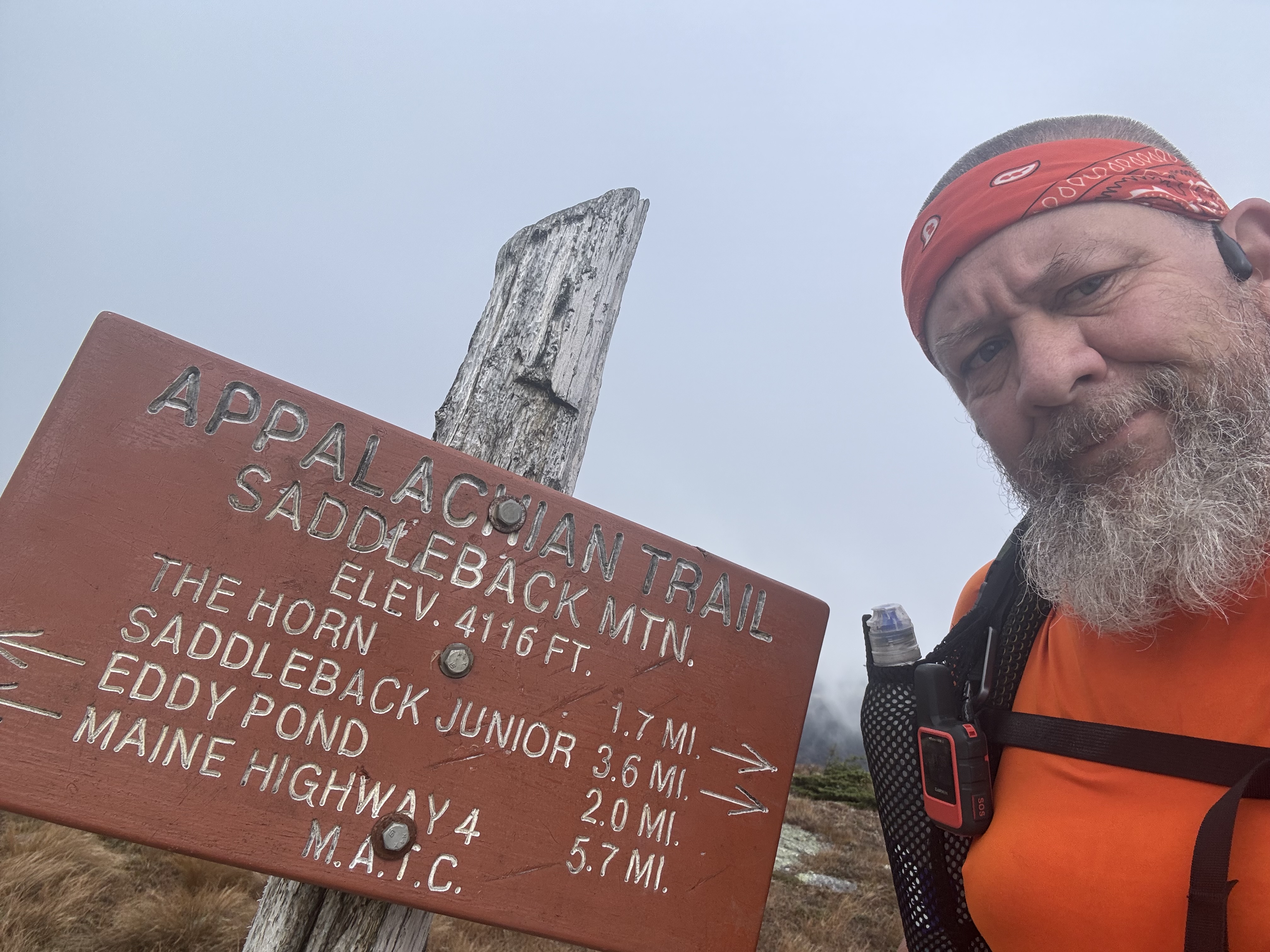
    Summited Saddleback at 11:35 in clouds and cold.

    Summit of Saddleback Mountain

    YouTube Video 360 from Saddleback Mountain 

    YouTube video a second view from Saddleback Mountain 

    Now I go down and across the ridge and up to the summit of The Horn.

    Looking ahead to the saddle and ridge leading to The Horn

    Summited The Horn at 12:45.

    Summit of The Horn
    Summit of The Horn

    Summited Saddleback Junior at 2:10.

    Summit of Saddleback Junior

    Reached Poplar Ridge Lean-to at 3:00 and 10.7 miles. Knees are tired, but I’m pushing on 2.7 more miles to Sluice Brook Logging Road. It’s too early to stop, plus it will make tomorrow shorter.

    Poplar Ridge Lean-to

    Stopped to fill up on water at 4:40. The logging road is only .1 miles away, but this might be the last water.

    Crossing Sluice Brook

    Made camp at Sluice Brook Logging Road at 4:55. No cell. Two other people are camping on the road as well. Nice brook right across the trail. Very nice spot. Made dinner at 5:45. Gonna be chilly tonight.

    Camp at Sluice Brook Logging Road
    Camp at Sluice Brook Logging Road

    Interesting fact about part of my hike today and where I am tenting tonight. The Navy’s Survival, Evasion, Resistance, and Escape (SERE) School has a field training area that straddles the AT. They particularly like to use it in the winter according to locals. In the photo below, the heavy red line is the AT and the red hashed area is the SERE training area. 

    Navy’s Survival, Evasion, Resistance, and Escape (SERE) School
    Day 164 Map – ME Rt 4 to Sluice Brook Logging Road

    Technical Notes:

    • Bagel with butter 500
    • Oreo 160
    • Cheese crackers 260
    • Snickers 440
    • Figs 500
    • Sausage 165
    • Salami 300
    • Ramen 370 
    • Dehydrated chicken 170
    • Pop tart 370
    • Water .7
    • Miles 13.5
    • Time 9
    • Elevation gain 4284
    • Calories consumed 3200
    • Calories burned 6700
  • Day 163 – ME Rt 17 to ME Rt 4

    Day 163 – ME Rt 17 to ME Rt 4

    Today’s Miles: 13

    Trip Miles: 1984.7

    “Widow Maker, Widow Maker

    Were the words so bright and big

    Painted ‘cross the bumper

    Of a shiny rig” – Jimmy Martin & The Sunny Mountain Boys

    Up at 5:40. Finished packing and had breakfast. Shuttle picked up at 6:30. Stopped at Mills Market for coffee. Got to trail at 7:20.

    Sunny, mid-50s, nice day.

    Shuttle pickup at 3:00 with 13 miles to go. Need to move at a good pace today.

    Rangeley lakes from Rt 17 overlook at trailhead.

    Rangeley lakes from Rt 17

    Lots of noise from logging operations. I guess I’ll be hearing this a lot the next week or so. 

    I’m in lake country for the next few days. Waters are incredibly clear.

    Crystal clear lakes near Rangeley, ME

    Lots of bogs today as well.

    Bogs near Rangeley, ME

    That’s the definition of a widow maker. That’s a nice tent site other than the top half of the tree ready to crash into it.

    That is a hell of a widowmaker

    At 1:45 I texted the host that I was 1 mile from the pickup point at ME Rt 4.

    Got picked up at 2:30 and arrived at Camp 43 hostel by 3:00. We are in Rangeley, Maine. Very touristy town. Boating and hiking in summer, snowmobiling and skiing in winter. 

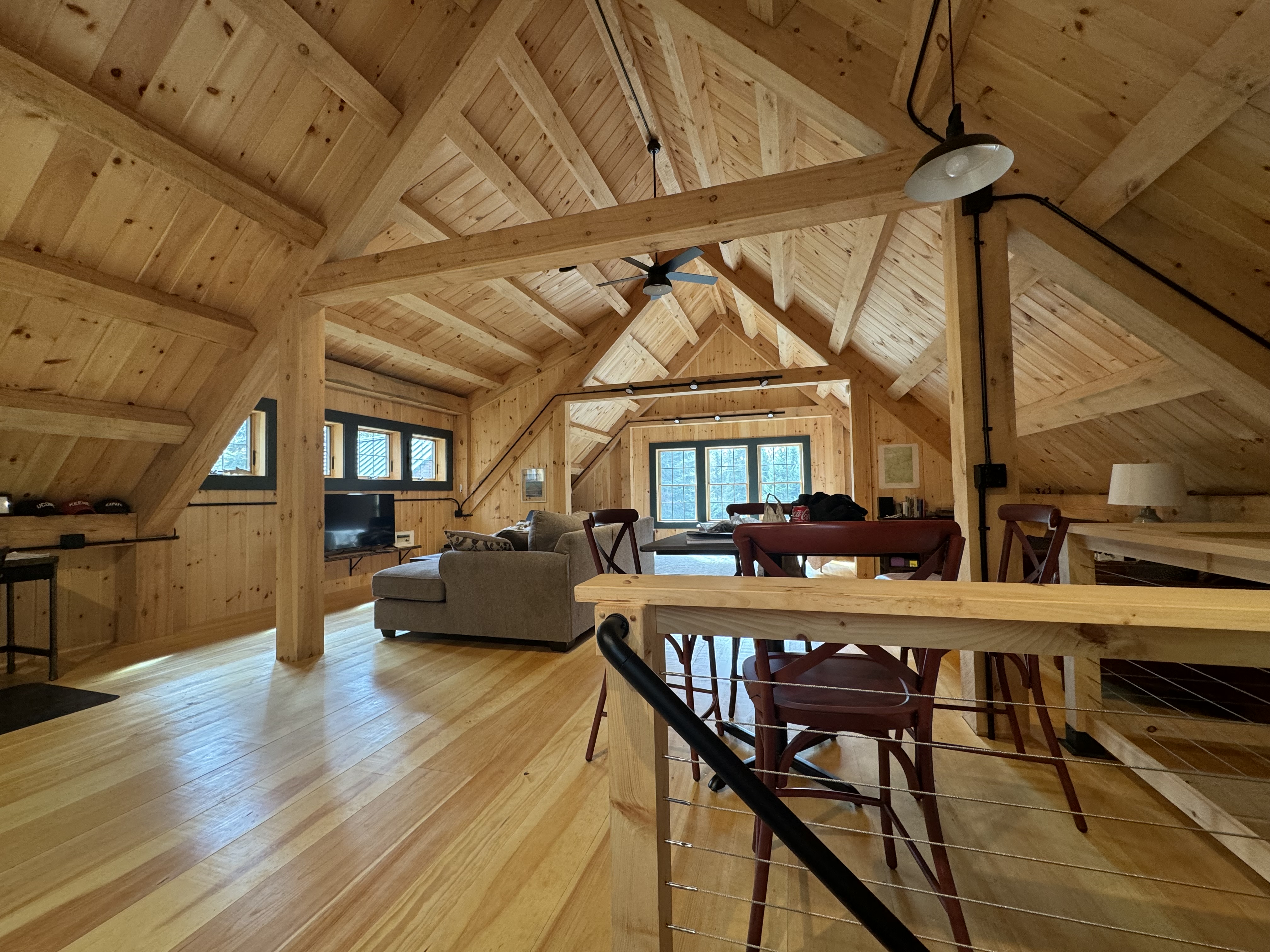
    Brand new custom barn/garage with great owners. I have it all to myself tonight. Owner is retired and built this huge place himself other than the framing over the past year. Owner will run me to town for dinner whenever I’m ready. Maybe 5 minutes away.

    Camp 43 hostel
    Camp 43 hostel

    Ordered dinner at 5:00 from local market. Planning on some leftovers for tomorrow. 

    Oops. So much for leftovers 🙂

    Day 163 Map – ME Rt 17 to ME Rt 4

    Technical Notes:

    • Mini donuts 560
    • Snickers 220
    • Fatty sausage 190
    • Kind bar 160
    • Coke 140
    • Fritos 480
    • Sausage 160
    • Twix 250
    • Dinner 2000
    • Misc 630
    • Water .7
    • Miles 13
    • Time 7:15
    • Elevation gain 2252
    • Calories consumed 5000
    • Calories burned 6100
  • Day 162 – South Arm Rd to ME Rt 17

    Day 162 – South Arm Rd to ME Rt 17

    Today’s Miles: 13.3

    Trip Miles: 1971.7

    “My old Blue, he was a good old hound

    You could hear him hollering miles around

    When I get to Heaven first thing I’ll do

    Is grab my horn and call for Blue” – The Byrds 

    Up at 6:30. Shuttled to trail at 7:20. On trail at 7:40.

    Partly cloudy, mid-60s. A bit humid and breezy.

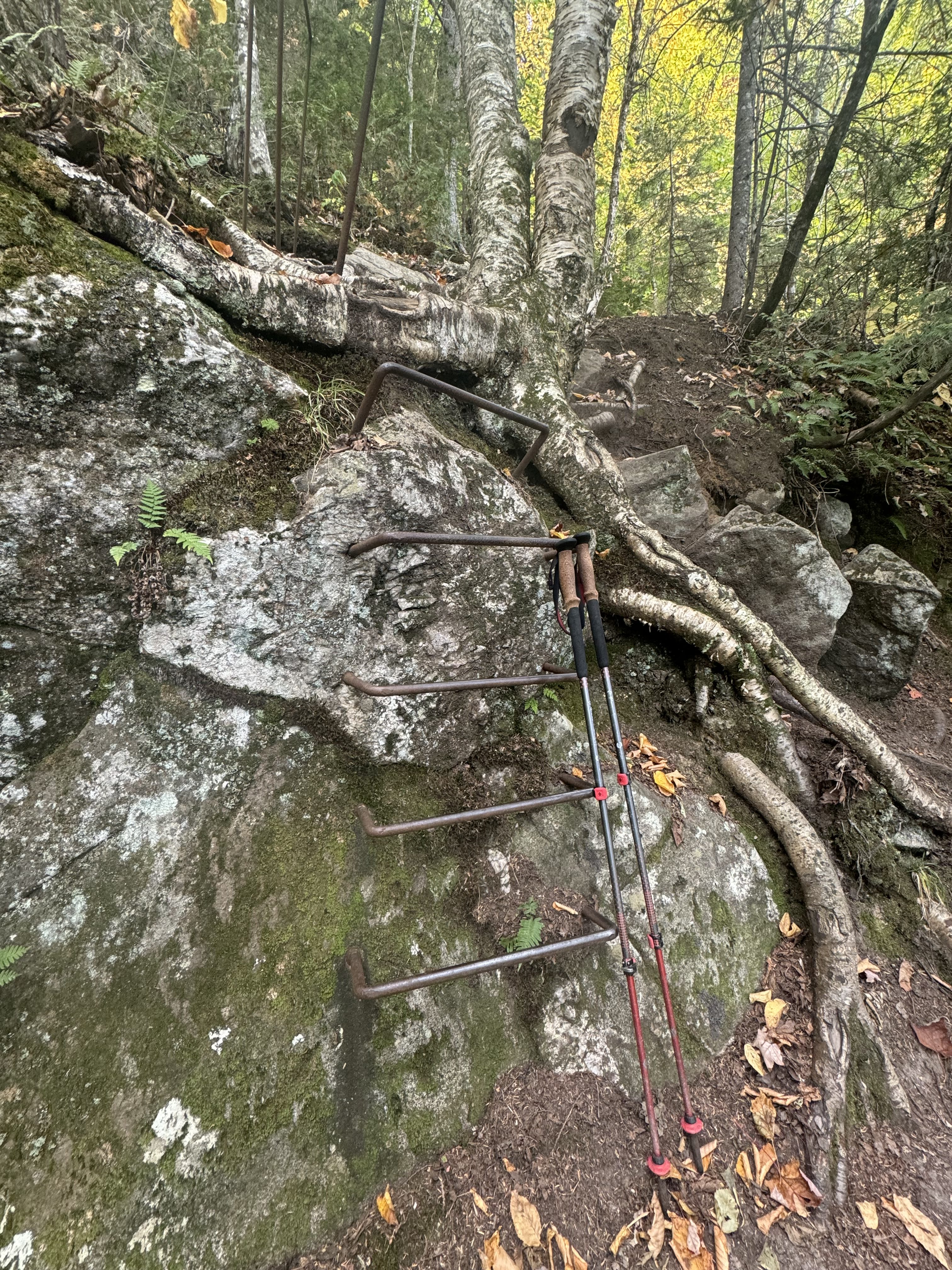
    Another day, another rebar ladder climb.

    More rebar in Maine

    Nice view part way up Old Blue mountain looking southeast, down the valley of Black Brook to Ellis Pond. Love the low clouds in the valley.

    View from Old Blue mountain looking back to Ellis Pond

    Summited Old Blue mountain (3600 feet) at 9:35 and 2.8 miles in. Windy and chilly up here. Almost above tree line.

    Summit of Old Blue mountain
    Summit of Old Blue mountain

    WTF. I’ve been dealing with lots of blowdowns for the last mile. Just keep getting worse.

    Lots of blowdowns

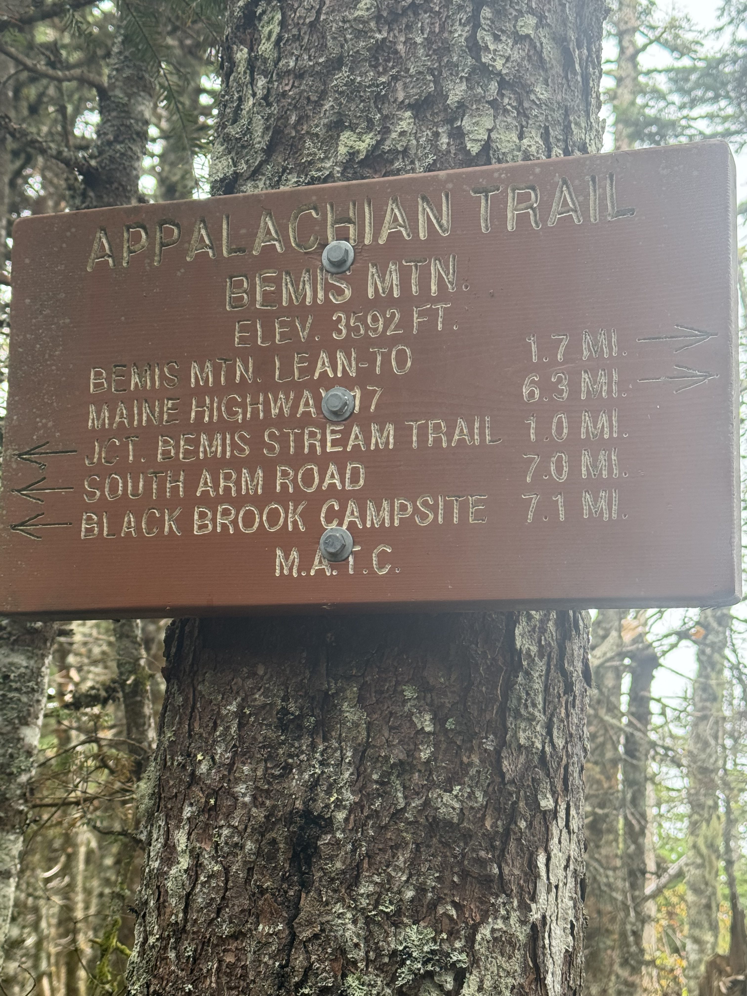
    Summited Bemis Mountain at 12:55 and  7 miles. I have 6.3 miles to go. It got very cold and spit rain for a while about 30 minutes ago. Seems better on this side of the mountain.

    Summit of Bemis Mountain

    Nice view onto the series of lakes to the west. 

    View of lakes from summit of Bemis Mountain

    Reached Bemis Mountain Second Peak at 1:50. Called into the hostel to confirm pickup in 2 hours. Got 3.1 miles to go.

    Bemis Mountain Second Peak

    Arrived at ME 17 at 3:33. Sat down and looked over the Rangeley lakes. Tough hike the last 3 miles. Hard rocky downhills and a hard .7 mile climb up to the road. Some NOBOs here I have not seen since NY or earlier.

    Looking over Rangeley lakes from ME 17

    Shuttle picked me up at 4:00. Took 40 minutes to get to the hostel. 

    Today’s 13.3 miles were harder than I expected. It was that final 3 that was a lot nastier than I expected. Tomorrow is 13 miles but half the elevation changes and nothing nasty other than maybe the first mile. I’m getting picked up at 3:00 so I’ve got a hard deadline tomorrow. Need to get on the trail earlier.

    Weather looks okay next week for 2 days, then rain on Wednesday, Thursday, and Friday. Ick 🙁 just not feeling like hiking. I’m ready to be done.

    Celebrating my third and final night at Pine Ellis Hostel in Andover with the seafood platter at Mills Market. Eaten here 3 nights in a row as it’s all there is. My kind of place 🙂

    Got shuttles and hostel arranged for Wednesday evening. 

    Day 162 Day – South Arm Rd to ME Rt 17

    Technical Notes:

    • Pop Tarts 370
    • Oreo 160
    • Oreo 160
    • Snickers 440
    • Fatty Beef Stick 190
    • Root Beer 260
    • Seafood Platter 1300
    • Misc 2000
    • Water 1.7
    • Miles 13.3
    • Time 7:15
    • Elevation Gain 4409
    • Calories Consumed 4800
    • Calories Burned 6100
  • Day 161 – East B Hill Rd to South Arm Rd

    Day 161 – East B Hill Rd to South Arm Rd

    Today’s Miles: 10.10

    Trip Miles: 1958.4

    “I laid in bed that night and thought about the day

    And how my life is like a roller coaster ride

    The ups and downs and crazy turns along the way

    It’ll throw you off if you don’t hold on tight

    You can’t really smile until you’ve shed some tears

    I could die today or I might live on for years” – Darryl Worley

    Up at 7:00. Slackpacking today! Quick breakfast and shuttle picked me up at 7:30. On trail by 7:45.

    Mostly cloudy, low 60s.

    New friend. These little batards are loud and get pissy when you walk by their nests. Not like squirrels back home.

    Loud squirrels in Maine

    Surplus Pond and Surplus Pond Road at 8:50 and 1.8 miles in. Quiet morning, making good time. 

    Surplus Pond

    View from the top of Wyman Mountain at 10:10 and 4.7 miles in. Weather is not looking like it should. Winds kicking up and temps dropping. Stopped for a snack. Back on trail at 10:30.

    View from the top of Wyman Mountain

    Pretty mellow day so far. Have not had any of those in a while. But I know it’s gonna change this afternoon.

    Stopped at Hall Mountain Lean-to for a quick break at 11:15. One bar of cell service. Only have 4 miles to go, but the next 2.5 miles are very nasty.

    Nasty ascent up Moody Mountain

    The first descent was easy. Pleasantly surprised. Next comes the nasty ascent up Moody Mountain.

    It wouldn’t be a climb in Maine without rebar

    Rebar ladders up Moody Mountain
    Rebar ladders up Moody Mountain

    Summited Moody Mountain at 1:20. Hard climb but not as hard as I expected. Called the hostel for pickup in one hour.

    Summit of Moody Mountain

    Finished at 2:10. Rope line assist over creek at end. Shuttle was waiting for me.

    Rope line assist over creek

    That was a much easier and faster day than I had expected. I finished 2 hours faster than planned. A month ago, part of today’s climb would have intimidated me. Now it’s just like, is that all you got for me?

    I got back to the hostel about 2:30. I grabbed a shower and started laundry.

    Day 161 Map – East B Hill Rd to South Arm Rd

    Technical Notes:

    • Pop Tarts: 370
    • Snickers: 220
    • Fatty Beef Stick: 190
    • Cheese Crackers: 250
    • Snickers: 440
    • Oreo: 160
    • Potato Chips: 980
    • Dr Pepper: 260
    • Parm Sub: 1000
    • Wings: 500
    • Misc: 600
    • Water: 1.4
    • Miles: 10.1
    • Time: 6:25
    • Elevation Gain: 3272
    • Calories Consumed: 5000
    • Calories Burned: 5725